
Official current vector coat of arms of unitary parliamentary constitutional republic of Trinidad and Tobago
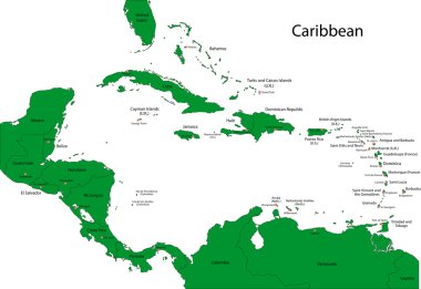
Caribbean map with countries
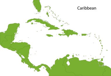
Caribbean map with countries

Illustration of a Caribbean Map with Flags and Location
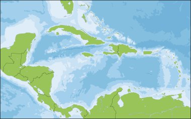
The Caribbean is a region that consists of the Caribbean Sea, its islands and the surrounding coasts.
Caribbean map with countries

Colorful Caribbean map with countries and capital cities
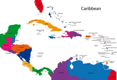
Caribbean map with countries

Caribbean -highly detailed map. Vector illustration

Isometric map of Trinidad and Tobago detailed vector illustration. Isolated 3D isometric country concept for infographic
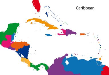
Colorful Caribbean map with countries
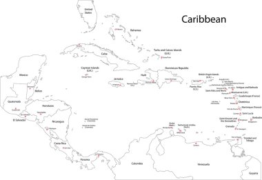
Caribbean map with countries

Political map of Carribean. Pink highlighted states and dependent territories. Simple flat vector illustration.

Association of the Caribbean States map

Black map collection, black contour maps of World. Map collection Part 21.

Vector maps set. High detailed 23 maps of North American countries with administrative division and cities. Political map, map of America continent, world map, globe, infographic elements.
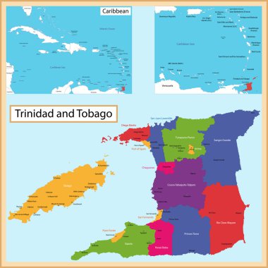
Map of the the Republic of Trinidad and Tobago drawn with high detail and accuracy. Trinidad and Tobago is divided into corporations which are colored with different bright colors

Bahamas blue marked in the map of Caribbean. Vector illustration.

Trinidad and Tobago states Map grey

Caribbean -highly detailed map. Vector illustration

Colorful Caribbean map with countries and capital cities

Trinidad and Tobago 3d map with borders of regions. Vector illustration

Political map of Carribean. Blue highlighted states and dependent territories. Simple flat vector illustration.

Caribbean - highly detailed map. Vector illustration

Black vector map of unitary parliamentary constitutional republic of Trinidad and Tobago

Political map of Carribean. Gray lands on white background. Simple flat vector illustration.

Detailed vector map of Trinidad and Tobago and capital city Port of Spain

Political map of Carribean. Orange highlighted states and dependent territories. Simple flat vector illustration.

Road map of the island of Tobago, Trinidad and Tobago

Political map of Carribean. Green highlighted sovereign states and orange dependent territories. Simple flat vector illustration.

Trinidad and Tobago Location Highlighted on American Map with Flag Icon.