
Turin City (Italian Republic, Italy, Piedmont) map vector illustration, scribble sketch City of Turin map

Design vector map city
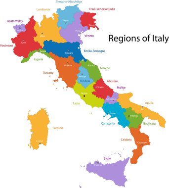
Colorful Italy map with regions and main cities

High detailed Italy physical map with labeling.
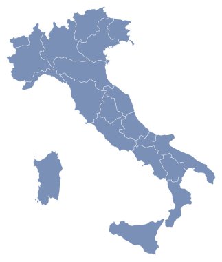
Vector map of Italy

Turin map. Detailed vector map of Turin city administrative area. Poster with streets and rivers on grey background.

Vector map of Turin. Street map poster illustration. Turin map art.

Turin Italy City Map in Retro Style. Outline Map. Vector Illustration.

Piedmont (Autonomous region of Italy) map vector illustration, scribble sketch Piemonte map

Colorful Italy political map with clearly labeled, separated layers. Vector illustration.

Handdrawn map of italy with all main symbols and unique lettering of main cities. Visit Italy concept. Poster design or postcard illustration

High detailed Italy road map with labeling.

Piedmont region in northwest Italy, gray political map. Second largest Italian region with capital Turin bordering France, Switzerland, and regions Aosta Valley, Lombardy, Emilia-Romagna, and Liguria.

High detailed Italy physical map with labeling.

Italy - Highly detailed editable political map with separated layers.

High detailed Italy physical map.

High detailed Italy physical map with labeling.

Italy - Highly detailed editable political map with separated layers.

Illustration of italy province and region maps

Illustration set of italy province and region maps

Italy - Highly detailed editable political map with separated layers.
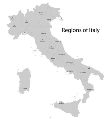
Gray Italy map with regions and main cities

High detailed Italy road map with labeling.

Highly detailed editable political map with separated layers. Italy.
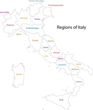
Outline Italy map with regions

Italy - Highly detailed editable political map with separated layers.

Vector map of the city of Torino, Turin, Italy

Vector map of the city of Torino, Turin, Italy

Vector detailed color Italy map

Silhouette and colored map of Italy regions

Map of Italy - highly detailed vector illustration

Illustration set of italy province and region maps

Editable colorful vector map of Italy. Vector map of Italy isolated on background. High detailed. Autonomous communities of Italy. Administrative divisions of Italy, separated provinces. outline map.
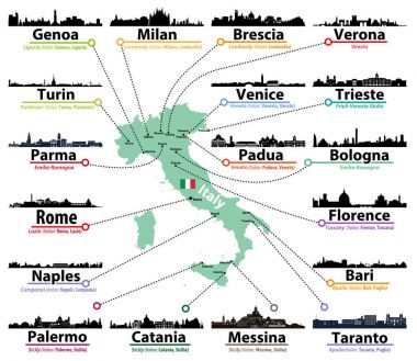
Italy map with largest italian cities skylines silhouettes vector set

High detailed Italy road map with labeling.
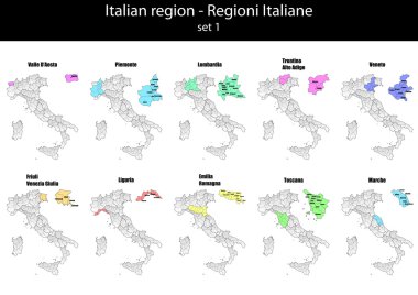
Illustration set of italy province and region maps

Highly detailed editable political map with separated layers. Italy.
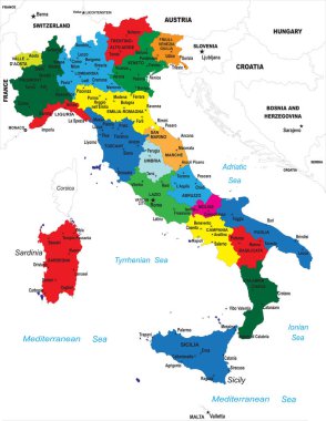
Highly detailed map of Italy with all different regions selectable individual.
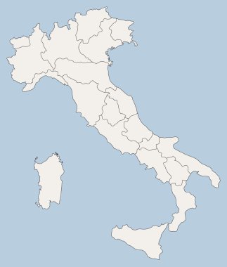
Vector map of Italy

Italian map with main cities skylines. Vector illustration

The detailed map of the Italy with regions or states and cities, capital
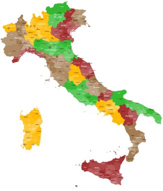
A detailed, colorful map of Italy with all provinces and big cities.

Italy administrative vector map
Black Italy map with regions

Handdrawn map of italy with all main symbols and unique lettering of main cities. Visit Italy concept. Poster design or postcard illustration

Handdrawn symbols of Italy on a map. Unique illustration for travel poster, visit Italy concept. Tourist postcard design

Piedmont administrative and political vector map with flag

Illustration of italy city maps

High detailed Italy physical map.

Italy road and highway map. Vector illustration.

Piedmont region in northwest Italy, political map. Second largest Italian region with capital Turin, bordering France, Switzerland, and the regions Aosta Valley, Lombardy, Emilia-Romagna, and Liguria.

Italy administrative and political vector map
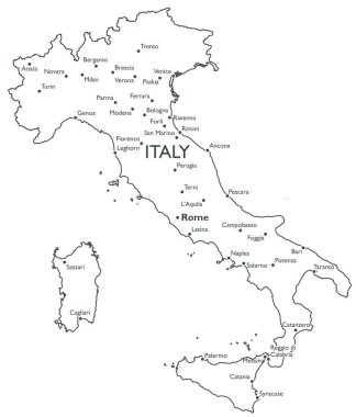
Monochrome contour map with city names

Italy vector cities skylines

Italy outline map vector

Italy map and flag - highly detailed vector illustration

Colorful Italy political map with clearly labeled, separated layers. Vector illustration.

Handdrawn symbols of Italy on a map. Unique illustration for travel poster, visit Italy concept. Tourist postcard design

Word cloud in a shape of Italy contains large cities. White text on black background, vector illustration

Italy map and flag - highly detailed vector illustration

Italy map and flag - highly detailed vector illustration

Italy regions map isolated on white background. Cartography map of Italian regional administrative borders. Vector stock

Vector illustration of Italy map with main italian cities skylines

Turin Italy City Map in Retro Style. Outline Map. Vector Illustration.

Italian map with handdrawn symbols and lettering elements.

Design vector map city

Colorful map of Italy vector silhouette illustration isolated on white background. Autonomous communities of Italy. Detailed Italian regions administrative divisions, separated provinces. outline map.
Vector map of Italy

Word cloud in a shape of Italy contains large italian cities. Black text on white background in positive slope, vector illustration
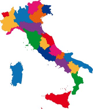
Colorful Italy map with regions

Handdrawn symbols of Italy on a map. Unique illustration for travel poster, visit Italy concept. Tourist postcard design

The black and white maps of Italy regions

Italy in heart and words cloud with larger cities

Italy, Turin flat landmarks vector illustration. Italy, Turin line city with famous travel sights, design skyline.

Set of grunge rubber stamps with names of Italy cities, vector illustration

Design vector map city

Design vector map city

Design vector map city

Design vector map city
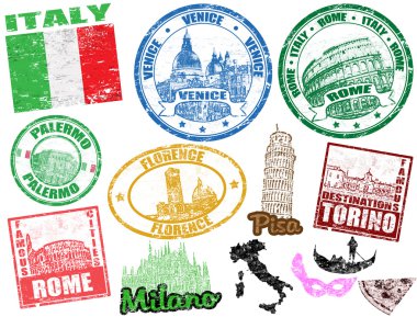
Set of grunge stamps with Italy, vector illustration

Design vector map city

Design vector map city

Design vector map city

Design vector map city

Design vector map city

Design vector map city

Design vector map city

Design vector map city

Design vector map city

Design vector map city

Design vector map city

Italy vector set. Isolated.

Design vector map city

Design vector map city

Cartoon vector map of Italy. Travel illustration with italian main cities.

Highly detailed editable political map with separated layers. Italy.

Map of the Italy in gray on a white background

Shiny vector stickers in form of Italy

A large administrative map of Italy with all provinces and communes.
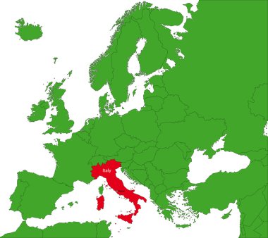
Location of Italy on the Europa continent