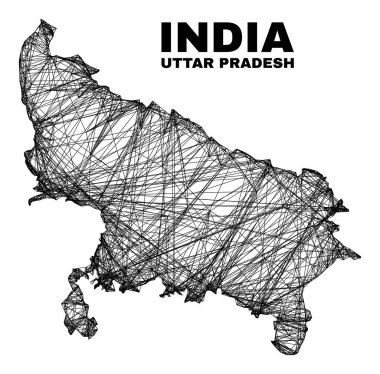
Network irregular mesh Uttar Pradesh State map. Abstract lines form Uttar Pradesh State map. Wire frame flat network in vector format.

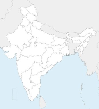
Vector blank map of India with states and territories and administrative divisions, and neighbouring countries. Editable and clearly labeled layers.

Vector map of India with states and territories and administrative divisions. Editable and clearly labeled layers.

Vector map of India with states and territories and administrative divisions. Editable and clearly labeled layers.

Vector blank map of India with states and territories and administrative divisions. Editable and clearly labeled layers.

Map of India - highly detailed vector illustration

India map - highly detailed vector illustration

A High Detail vector Map of the Republic of India Federation states and Union Territories and major cities, with a 3D vector Globe centered on India

Uttar Pradesh state location within India 3d isometric map

INDIA Map with all Indian states name lettering along with indian color . India map vector lettering. Typography India map design. Indian all states name in map shape. Bharat naksha art. Hindustan map typography.

Illustration of background with Indian state Uttar Pradesh map

Illustration of different people showing voting finger for Uttar Pradesh Legislative Assembly election

Uttar pradesh icon. Trendy flat vector uttar pradesh icon on transparent background from india collection. High quality filled uttar pradesh symbol use for web and mobile

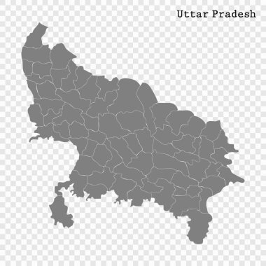
High Quality map of Uttar Pradesh is a state of India, with borders of the districts

Illustration of different people showing voting finger for Uttar Pradesh Legislative Assembly election

States of India. Handwritten stock lettering set ink typography. Calligraphy for logotype badge icon card postcard logo, banner, tag. Vector illustration EPS10.

Map of the northern Indian state of Uttar Pradesh

Telangana, Tripura, Uttar Pradesh, Uttarakhand, West Bengal outline maps

Uttar Pradesh state blank outline map set

India political map of administrative divisions - states and union teritorries. Grey blank vector editable map EPS.

Administrative map of the Indian state of Uttar Pradesh

Prayagraj District Highlighted in Uttar Pradesh State Map of India

Kannauj District Highlighted in Uttar Pradesh State Map of India

Shravasti District Highlighted in Uttar Pradesh State Map of India

Sonbhadra District Vector Map with yellow Outline

Saharanpur Division Highlighted in Uttar Pradesh State Map of India

Sitapur District Map of Uttar Pradesh, India

Haryana administrative and political map, India

Map of India with a stylized landscape, the Taj Mahal and an elephant. Vector illustration

Chitrakoot Division map of Uttar Pradesh State India

Ayodhya District orange color Map of Uttar Pradesh, India

Amethi District green Map of Uttar Pradesh, India

Agra District Vector Map with Bold blue Outline of Uttar Pradesh, India

Ambedkar District Map of Uttar Pradesh, India

Kanpur Dehat District Vector Map with Bold Black Outline of Uttar Pradesh, India

Jhansi District Map of Uttar Pradesh, India

Bareilly District Highlighted in Uttar Pradesh State Map of India

Hamirpur District Highlighted in Uttar Pradesh State Map of India

Sonbhadra dist Highlighted in Uttar Pradesh State Map of India

Meerut Division map of Uttar Pradesh State India

Kanpur Division map of Uttar Pradesh State India

Basti Division Highlighted in Uttar Pradesh State Map of India

Kasganj (Kanshiram Nagar) District Vector Map with Bold Black Outline

Mirzapur District Vector Map with Bold red Outline

Mirzapur District Map of Uttar Pradesh, India

Shravasti District Map of Uttar Pradesh, India

Sambhal District Map of Uttar Pradesh, India

Sultanpur District Vector Map with Bold Outline

Sonbhadra District Map of Uttar Pradesh, India

Firozabad District Highlighted in Uttar Pradesh State Map of India

Gautam Buddh Nagar (Noida) District Highlighted in Uttar Pradesh State Map of India

Kanpur Dehat District Highlighted in Uttar Pradesh State Map of India

Amroha District Highlighted in Uttar Pradesh State Map of India

Amethi District Highlighted in Uttar Pradesh State Map of India

Bareilly Division Highlighted in Uttar Pradesh State Map of India

Azamgarh Division Highlighted in Uttar Pradesh State Map of India

Agra Division Highlighted in Uttar Pradesh State Map of India

Lucknow Division Highlighted in Uttar Pradesh State Map of India

Kanpur Division Highlighted in Uttar Pradesh State Map of India

Mirzapur Division map of Uttar Pradesh State India

Meerut District Map of Uttar Pradesh, India

Muzaffarnagar District Map of Uttar Pradesh, India

Rampur District Vector Map with red Outline

Rampur District Map of Uttar Pradesh, India

Rae Bareli District Map of Uttar Pradesh, India

Sambhal, Bhimnagar District Map of Uttar Pradesh, India

Shahjahanpur District Map of Uttar Pradesh, India

Unnao District Map of Uttar Pradesh, India

Kaushambi District Vector Map with Bold Black Outline

Balrampur District Vector Map with Bold red Outline of Uttar Pradesh, India

Ballia District green color Map of Uttar Pradesh, India

Pratapgarh District Highlighted in Uttar Pradesh State Map of India

Lucknow District Highlighted in Uttar Pradesh State Map of India

High detail Uttar Pradesh District Map Set Clean Vector Outline with Labels

Aligarh Division Highlighted in Uttar Pradesh State Map of India

Balrampur District Map of Uttar Pradesh, India

Ambedkar District Vector Map with yellow Outline of Uttar Pradesh, India

Kasganj (Kanshiram Nagar) District Map of Uttar Pradesh, India

Mainpuri District Map of Uttar Pradesh, India

Prayagraj Division map of Uttar Pradesh State India

Bareilly Division map of Uttar Pradesh State India

Jhansi Division map of Uttar Pradesh State India

Uttar Pradesh state map Uttar Pradesh state map illustration with all dist, India

Sitapur Highlighted in Uttar Pradesh State Map of India

Auraiya District Highlighted in Uttar Pradesh State Map of India

Deoria District Highlighted in Uttar Pradesh State Map of India

Chitrakoot District Highlighted in Uttar Pradesh State Map of India

Lakhimpur Kheri District Highlighted in Uttar Pradesh State Map of India

Kushinagar District Highlighted in Uttar Pradesh State Map of India

Shamli District Map of Uttar Pradesh, India

Shamli District Vector Map with Bold Black Outline

Sitapur District Map of Uttar Pradesh, India

Lalitpur District Vector Map with Bold Black Outline

Lakhimpur Kheri District Map of Uttar Pradesh, India

Mau District Vector Map with Bold Black Outline

Bareilly District green Map of Uttar Pradesh, India

Jalaun District Vector Map of Uttar Pradesh state, India

Kannauj District Vector Map of Uttar Pradesh, India

Amroha District green Map of Uttar Pradesh, India

Aligarh District Map of Uttar Pradesh, India