Travel infographics with data icons and elements

Travel and tourism background

Vector set of travel to America
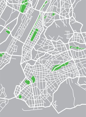
Vector illustration map of New York.

Travel infographics with data icons and elements

USA states map with names of cities
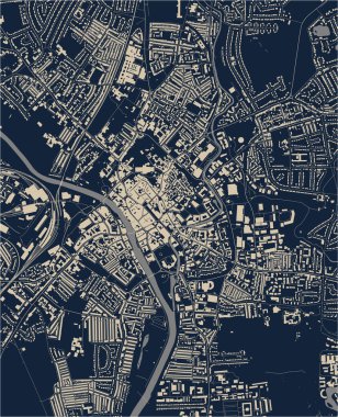
Vector map of the city of York, North Yorkshire, Yorkshire and the Humber , England, UK

Vector poster map city New York

New York colored vector map

High resolution outline map of New York City with NYC boroughs. Each boroughs placed on a separate layer.

New York NY State Border USA Map Outline

USA map and flag - highly detailed vector illustration. Image contains next layers. There are land contours, country and land names, city names, flag, navigation icons.

United States of America vector map with state borders. Gray map on white background.
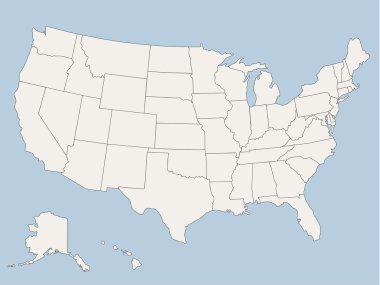
Vector map of the united states of america, each state is in seperate layer thus can be edited easily vector map of the united states of america, each state is in seperate layer thus can be edited easily

Vector map of United States of America with Alaska and Hawaii
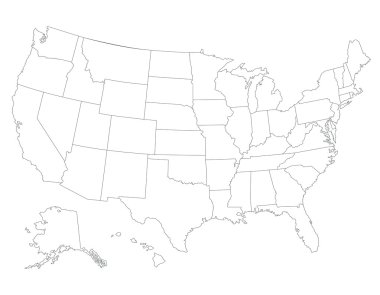
United States map, High detailed border
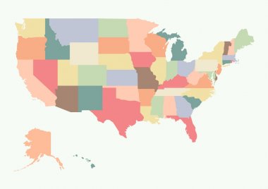
Vintage colorful USA map. Vector illustration

Colorful USA map with states and capital cities
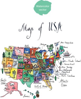
Map of attractions of United States of America, watercolor, hand drawn - vector Illustration
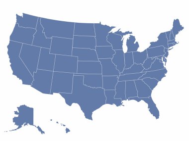
Vector map of the united states of america, each state is in seperate layer thus can be edited easily

Highly detailed map of the United States. All states are separate elements and layered in alphabetic order

Blue vector map of United States

USA map with Alaska and Hawaii map separate states individual names card paper 3D natural vector

Map of the USA in the colors of the flag with administrative divisions vector

Black map of United States

Colorful vector map of United States

Map of world with borders with bright colors

United states Map Infographic Template jigsaw concept banner. vector illustration

Vector map of the united states of america

Map of world with borders as scrible

Vector map of the New York City NY Manhattan, USA
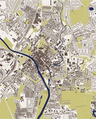
Vector map of the city of York, North Yorkshire, Yorkshire and the Humber , England, UK

Map of world with borders with bright colors

Large vector map of New York ultra detailed editable

Polygonal United States map

Blue vector map of United States

USA map - three-dimensional vector illustration

Blue vector map of United States Of America isolated on white background

Brown vector map of United States

Vector map metro of the New York City NY , USA

Vector map of the united states of america

Triangular United States map

North and South America high detailed vector map

Vector map of the New York City NY Manhattan, USA

Colorful united staes administrative and political vector map.

Vector map of the city of York, North Yorkshire, Yorkshire and the Humber , England, UK
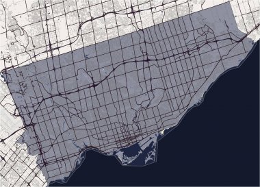
Vector map of the city of Toronto, Canada

Vector map of the New York City NY Manhattan, USA

Vector map of USA, United States of America.
Vector map of the city of Toronto, Canada

High detailed vector map - United States. USA vector flat

Abstract Decor Design of Vector Map of Northern America

Vector map of the city of York, North Yorkshire, Yorkshire and the Humber , England, UK

New York NY state Maps. Black silhouette and outline isolated on a white background. EPS Vector

Colorful map of United States
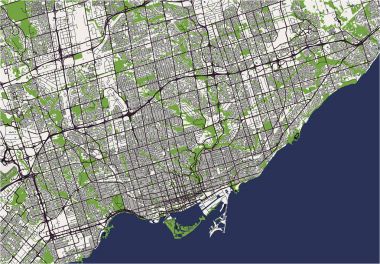
Vector map of the city of Toronto, Canada

Colorful map of United States

Wisconsin state outline administrative and political vector map in black and white

Green map of United States

Vector Map Icon of the world in Globe form

Colorful map of United States

Vector Map Icon of the world in Globe form

Blue map of United States

Green map of United States
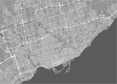
Vector map of the city of Toronto, Canada

Blue map of United States

Grey map of United States

Colorful map of United States

New york city, theater district, midtown manhattan vector map.

Simplified vector map of USA with airplane inflight to destination New York

Hand illustrated vector map of United States. Detailed illustration of states.

New York city detailed vector map

Hand illustrated vector map of United States. Detailed illustration of states.

War mosaic vector map of Long Island. Geographic mosaic map of Long Island is constructed from scattered fire, destruction, bangs, burn homes, strikes. Vector flat illustration for peace doctrines.

New York vector map. Grunge rubber stamp with the name and map of New York, vector illustration. Can be used as insignia, logotype, label, sticker or badge of USA state.

Buffalo map, New York, American city. Municipal administrative area map with rivers and roads, parks and railways. Vector illustration.

Perrysburg (New York) blank outline map

Binghamton (New York) blank outline map

Attica (New York) blank outline map

Malone (New York) blank outline map

North Hills (New York) blank outline map

York County (Nebraska) blank outline map

Macedon (New York) blank outline map

Vernon (New York) blank outline map

Oneonta (New York) blank outline map

Shelter Island (New York) blank outline map

Lake Placid (New York) blank outline map

Oyster Bay Cove (New York) blank outline map

Jefferson (New York) blank outline map

Pine Plains (New York) blank outline map

Quogue (New York) blank outline map

Walworth (New York) blank outline map

Victor (New York) blank outline map

West Carthage (New York) blank outline map

Canastota (New York) blank outline map

Chittenango (New York) blank outline map

Cobleskill (New York) blank outline map

Nissequogue (New York) blank outline map

Fort Plain (New York) blank outline map

Scottsville (New York) blank outline map