
Virginia map high quality vector. American state simple hand made line drawing map

Virginia blank outline map set
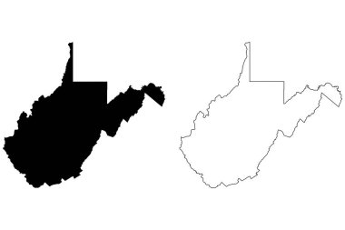
West Virginia WV state Map USA. Black silhouette and outline isolated maps on a white background. EPS Vector

Virginia high detailed map. Us state silhouette icon. Isolated Virginia black map outline. Vector illustration.

Virginia state map with counties. Vector illustration.

West Virginia WV State Border USA Map Outline

North Carolina state detailed editable map with cities and towns, geographic sites, roads, railways, interstates and U.S. highways. Vector EPS-10 file, trending color scheme

USA vector linear map. Thin line United States map.

Virginia US Map. VA USA State Map. Black and White Virginian State Border Boundary Line Outline Geography Territory Shape Vector Illustration EPS Clipart

Virginia VA State Border USA Map Outline

Virginia VA State Border USA Map Solid

The Virginias, political map. The two Virginias, two states in the Southeastern and Mid-Atlantic regions of the United States. Virginia with capital Richmond and West Virginia with capital Charleston.
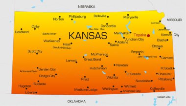
Vector color map of Kansas state. Usa
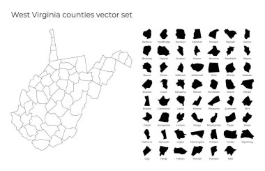
West Virginia map with shapes of regions. Blank vector map of the Us State with counties. Borders of the us state for your infographic. Vector illustration.

Virginia map. Borders of Virginia for your infographic. Vector us state shape. Vector illustration.

High detailed USA map with federal states. Vector illustration United states of America on black background.
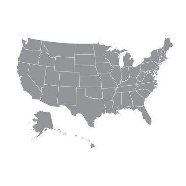
High detailed USA map with federal states. Vector illustration United states of America.

Map of the United States cut paper vector illustration

Map of USA in idea design

The vector gold usa map set

USA Map Each state in separate layers

Usa Vector Map

West Virginia vector maps counties, townships, regions, municipalities, departments, borders

Illustration of State of West Virginia, USA
Map of USA in idea design

Virginia line art map from colorful curved lines

Highly detailed vector illustration of Virginia. With American flag.

Illustration of Commonwealth of Virginia, USA

America Green Map Isolated on Blue Background

Map of USA in idea design

West Virginia WV state Map USA with Capital City Star at Charleston. Black silhouette and outline isolated maps on a white background. EPS Vector

United Stated map in silhouette version

Map of USA in idea design
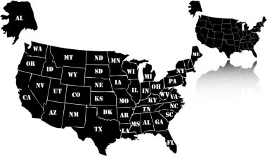
The vector black usa map set

West Virginia blank outline map set

Map of USA with vector

High detailed USA map with federal states. Vector illustration United states of America.

Vectors Map of USA

West Virginia WV State Border USA Map Solid

High detailed USA map with federal states. Vector illustration United states of America.

Map of USA with pointer vector

Map of USA in idea design

High detailed USA map with federal states. Vector illustration United states of America on isolated background.
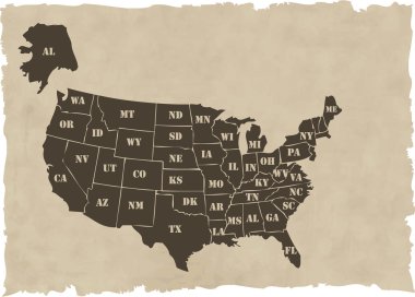
The vector retro usa map

High detailed vector map - United States. USA vector flat

High detailed USA map with federal states. Vector illustration United states of America on isolated background.
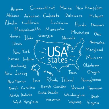
Hand drawn USA map with handwritten state names

Map of USA in idea design

High detailed USA map with federal states. Vector illustration United states of America on blue background.

Retro Colors Political map of the USA with it's states and Large vector Image Set.

3D West Virginia (USA) Blueprint Grunge outline map with shadow

Map of USA in idea design

United States of America Map

Map of west virginia. map concept

Every state is in its own shape.

Highly detailed vector illustration of West Virginia. With American flag.

American color map vector art

American golden map eps8 vector art

Hand drawn USA map with handwritten state names

Map of USA in idea design

Hand drawn USA map with handwritten state names

Vector color map of North Carolina state. Usa

Map of USA in idea design
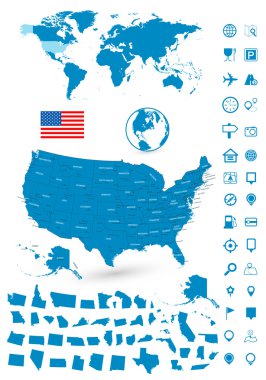
Detailed map of USA and World map navigation set. Vector illustration.

Map of USA in idea design

United States Election Word Cloud Map

Ohio state detailed editable map with cities and towns, geographic sites, roads, railways, interstates and U.S. highways. Vector EPS-10 file, trending color scheme

United States of America Map

Virginia Map on American Flag. VA, USA State Map on US Flag. EPS Vector Graphic Clipart Icon

3D Colorful United States Map Concept Illustration

Pulaski (Tennessee) blank outline map

Virginia US state outline map with the handwritten state name. Continuous line drawing of patriotic home sign. A love for a small homeland. T-shirt print idea. Vector illustration.

Aquia Harbour (Virginia) blank outline map

Appomattox (Virginia) blank outline map

Basye (Virginia) blank outline map

Crozet (Virginia) blank outline map

Elkton (Virginia) blank outline map

Dulles Town Center (Virginia) blank outline map

Cedar Bluff (Virginia) blank outline map

Gloucester Courthouse (Virginia) blank outline map

Greenville (Virginia) blank outline map

Cloverdale (Virginia) blank outline map

Chincoteague (Virginia) blank outline map

Narrows (Virginia) blank outline map

Occoquan (Virginia) blank outline map

Prices Fork (Virginia) blank outline map

Union Hall (Virginia) blank outline map

Wise (Virginia) blank outline map

Shenandoah (Virginia) blank outline map

Logan County (Nebraska) blank outline map

Petersburg (West Virginia) blank outline map

Grafton (West Virginia) blank outline map

Richwood (West Virginia) blank outline map

Welch (West Virginia) blank outline map

Summersville (West Virginia) blank outline map

Williamson (West Virginia) blank outline map

Chester (West Virginia) blank outline map

Loxton Waikerie, Mallala, Maralinga Tjarutja, Marion outline maps

Lockyer Valley, Logan, Longreach, Mackay outline maps

3D United States Map with State Borders and Names Concept Illustration