
Virginia map high quality vector. American state simple hand made line drawing map

Blue abstract outline of West Virginia map

West Virginia WV state Map USA with Capital City Star at Charleston. Black silhouette and outline isolated maps on a white background. EPS Vector
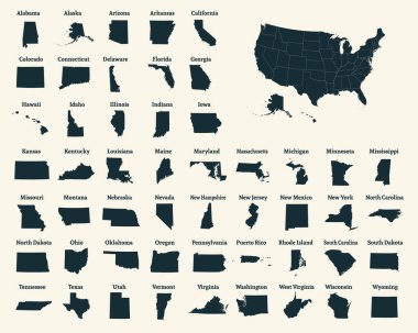
Outline map of the United States of America. 50 States of the USA. US map with state borders. Silhouette of the USA. Vector illustration.

Black map of West Virginia
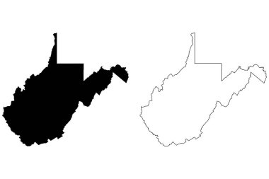
West Virginia WV state Map USA. Black silhouette and outline isolated maps on a white background. EPS Vector
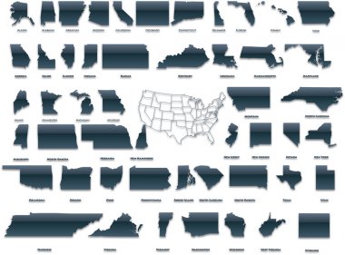
United States of America set in a nice plastic version.
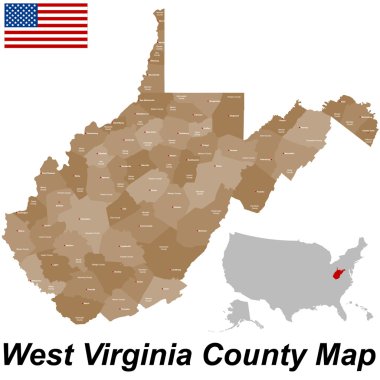
A large and detailed map of the State of West Virginia with all counties and county seats.

3D West Virginia (USA) Blueprint Grunge outline map with shadow

Map of the U.S. state of West Virginia

West Virginia Map Vector Outline Design Template. Editable Stroke.

Map of the U.S. state of West Virginia

West Virginia simple logo. State map outline - smooth simplified US state shape map vector.

Set of 3D images of the State of West Virginia with icons.

West Virginia State Outline with Bold Text Design is perfect for print, apparel, sticker, etc

Washington, West Virginia travel stickers with scenic attractions and retro text on vintage suitcase background
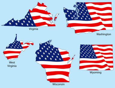
Virginia, Washington, West Virginia, Wisconsin, Wyoming outlines with flags, each individually grouped

West Virginia state map brand on wooden boards with map outline and state motto
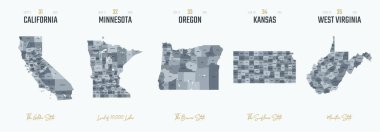
Vector set 7 of 10 Highly detailed silhouettes of US state maps, divided into counties with names and territory nicknames
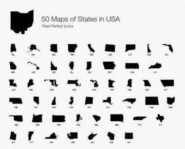
All 50 USA States Map Pixel Perfect Icons (Filled Style). Vector icons of the complete United States of America states map.
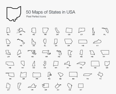
All 50 USA States Map Pixel Perfect Icons (Line Style). Vector icons of the complete United States of America states map.

Official current vector great seal of the Federal State of West Virginia, USA

West Virginia WV State Border USA Map Outline
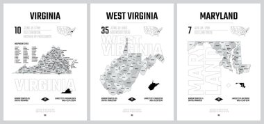
Highly detailed vector silhouettes of US state maps, Division United States into counties, political and geographic subdivisions of a states, South Atlantic - Virginia, West Virginia, Maryland - set 8 of 17

State West Virginia in scribble style - vector illustration. Abstract flat map of West Virginia with the imposition of US flag.
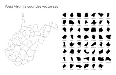
West Virginia map with shapes of regions. Blank vector map of the Us State with counties. Borders of the us state for your infographic. Vector illustration.

Map of Washington DC Metropolitan Area is the metropolitan area based in Washington DC
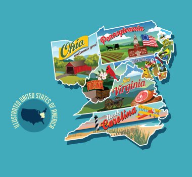
Illustrated pictorial map of eastern United States. Includes Pennsylvania, New Jersey, West Virginia, Virginia, North Carolina, Delaware and Maryland. Vector Illustration.
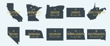
Set 4 of 5 Highly detailed vector silhouettes of USA state maps with names and territory nicknames

Map of the United States of America, with borders and state names, Detailed vector illustration

West Virginia WV State Border USA Map Solid

West Virginia blank outline map set
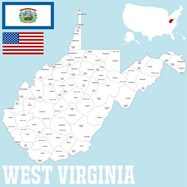
A large and detailed map of the State of West Virginia with all counties and county seats.

Highly detailed vector illustration of West Virginia. With American flag.

West Virginia Icons

Shiny icon in form of West Virginia state, USA - vector illustrator
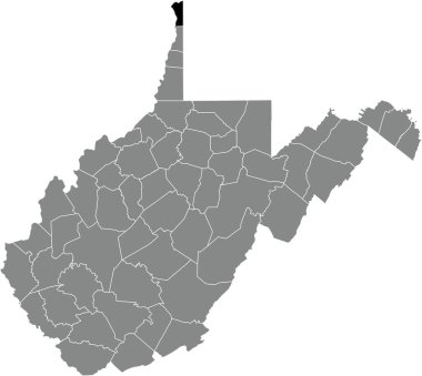
Black highlighted location map of the Hancock County inside gray administrative map of the Federal State of West Virginia, USA
Collection of outline shape of US states map in black. Vector flat design.

Map of the U.S. state of West Virginia

West Virginia Outline Map over a white background with flag inset

All 50 USA States Map Pixel Perfect Icons (Line Style Shadow Edition). Vector icons of the complete United States of America states map.

Black outline of West Virginia map - vector illustration

A Set of Infographic Elements for the State of West Virginia

All 50 USA States Map Pixel Perfect Icons (Filled Style Shadow Edition). Vector icons of the complete United States of America states map.

Map of West Virginia with hand drawn sketch pen map inside. Vector illustration

Black map of the State of West Virginia - vector illustration. Simple flat map State of West Virginia.
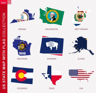
US State Maps with flag collection, nine USA map contour with flag of Virginia, Washington, West Virginia, Wisconsin, Wyoming, Alaska, Colorado, Texas, USA

West Virginia, state of USA - solid black outline map of country area. Simple flat vector illustration.

Maryland federal state road vector map with flag

Five United States Buttons

Vintage vector round label. West Virginia. Bridge

South Portland skyline in purple radiant orchid in editable vector file

Vector illustration of a vintage sticker in form of West Virginia state, USA

Shiny vector stickers in form of West Virginia state, USA

West virginia state outline map in black and white

Flag of West Virginia from brush strokes. United States of America. Flag West Virginia on transparent background for your web site design, logo, app, UI. Stock vector. EPS10.

Set of West Virginia state with flag america and map pointer

Charleston Skyline with Gray Buildings, Blue Sky and Reflections. West Virginia. Vector Illustration. Business Travel and Tourism Concept with Modern Buildings. Image for Presentation Banner Placard and Web Site.

Outline Charleston West Virginia USA City Skyline with Modern Colored Buildings Isolated on White. Vector Illustration. Charleston Cityscape with Landmarks.

Outline Charleston Skyline with Blue Buildings and Reflections. West Virginia. Vector Illustration. Business Travel and Tourism Concept with Modern Architecture. Image for Presentation Banner Placard.

West Virginia State Flag Icon in Hexagon Shape.

Grafton (West Virginia) blank outline map

Richwood (West Virginia) blank outline map

Logan County (Nebraska) blank outline map

Moorefield (West Virginia) blank outline map

Point Pleasant (West Virginia) blank outline map

Marion (Montana) blank outline map

Eleanor (West Virginia) blank outline map

Glen Dale (West Virginia) blank outline map

Granville (West Virginia) blank outline map

Milton (West Virginia) blank outline map

Nutter Fort (West Virginia) blank outline map

Williamstown (West Virginia) blank outline map

Marion (Wisconsin) blank outline map

Barrackville (West Virginia) blank outline map

Charles Town (West Virginia) blank outline map

New Haven (West Virginia) blank outline map

Marion (North Carolina) blank outline map

Terra Alta (West Virginia) blank outline map

Wayne (West Virginia) blank outline map

Barboursville (West Virginia) blank outline map

State of West Virginia with the name distorted into state shape. Pop art style vector illustration for stickers, t-shirts, posters, social media and print media.

West Virginia geometric polygonal, mosaic style us state maps collection. Bright abstract tessellation, low poly style, modern design.

Logan (Ohio) blank outline map

Kenova (West Virginia) blank outline map

Harrisville (West Virginia) blank outline map

Monongah (West Virginia) blank outline map

Pleasant Valley (West Virginia) blank outline map

West Liberty (West Virginia) blank outline map

Wellsburg (West Virginia) blank outline map

Ansted (West Virginia) blank outline map

Bethlehem (West Virginia) blank outline map

Chesapeake (West Virginia) blank outline map

Montgomery (West Virginia) blank outline map

Salem (West Virginia) blank outline map

Randolph (Vermont) blank outline map

Randolph (New York) blank outline map

Marion (Kentucky) blank outline map

Logan (Iowa) blank outline map

State of West Virginia, subdivided into 55 counties, outline map. State in the Southeastern and Mid-Atlantic regions of United States, nicknamed Mountain State. Contours with county names and borders.