Description:
This SVG vector file represents the Western Sahara region, featuring a detailed outline of its geographic boundaries. The design is available in scalable vector graphics format, making it suitable for a variety of applications. The vector emphasizes clean lines and precise geometry, characteristic of cartographic illustrations. It serves as a versatile resource for designers and educators alike. This format allows for easy resizing without loss of quality, ensuring clarity in both small and large formats. It can be used in various design software and applications, including Adobe Illustrator and CorelDRAW.
Usage ideas:
The Western Sahara Region SVG vector is perfect for use in educational settings, such as geography projects or presentations about regional studies. It can be integrated into interactive maps for travel guides or websites focusing on North African tourism. Additionally, graphic designers may utilize this vector for creating promotional materials for events or businesses related to the region. The outline can also enhance reports or publications in academia, providing a visual reference that complements textual information. Furthermore, it can be adapted for merchandise or apparel designs that celebrate cultural themes surrounding Western Sahara.
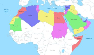
Political color map of Arab World with borders of the states
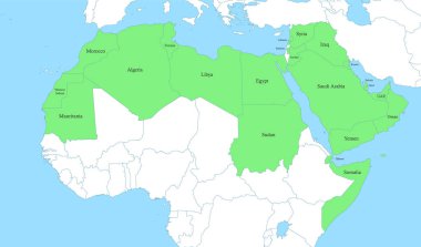
Political color map of Arab World with borders of the states
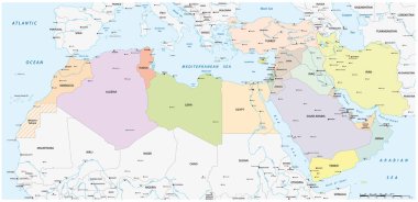
Map of the Mena Region, Middle East and North Africa

North Africa region, political map. Yellow colored area, with capitals and borders. Collective term for a group of Mediterranean countries on African continent. English labeling. Illustration. Vector.

Morocco political map with capital Rabat and borders. Kingdom and Arab country in the Maghreb region of North Africa. Gray illustration isolated on white background. English labeling. Vector.
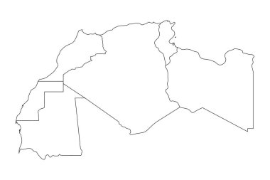
Map of Maghreb countries - Northwest Africa states. Vector illustration.

Western Sahara political map with capital Laayoune, national borders, important places and rivers. A disputed territory in the Maghreb region of North Africa. Illustration with English labeling.

Adygea, Estonia, Sri Lanka, Mongolia, Nicaragua, Cape Verde, Western Sahara, VirginIslandsUS, Mali. Big set of 81 flags. Vector illustration
Bikini Atoll, Kenya, Jersey, Chechen Republic of Ichkeria, Western Sahara, Cayman Islands, Kalmykia, Peru, Greenland. Big set of 81 flags. Vector illustration
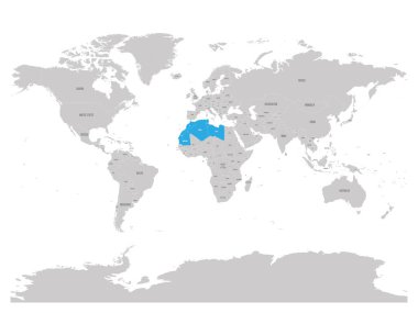
Map of Maghreb countries - Northwest Africa states blue highlighted in World map. Vector illustration.

Western map of land divided between Morocco and Sahrawi Arab Democratic Republic by Moroccan Western Sahara Wall. 3D turquoise vector map with name labels.

Map of Maghreb countries - Northwest Africa states. Vector illustration.

Map of Maghreb countries - Northwest Africa states. Vector illustration.

Maghreb, multi colored political map. Also known as Arab Maghreb, and Northwest Africa, a region including Algeria, Libya, Mauritania, Morocco, Tunisia, and the disputed territory of Western Sahara.

Western Sahara political map with capital Laayoune. Disputed, partially Moroccan occupied territory in Maghreb region of North Africa. Gray illustration on white background. English labeling. Vector.

South Africa, Nauru, Herm, Serbia, Western Sahara, North Ossetia, Kenya, France, Bashkortostan. Big set of 81 flags. Vector illustration
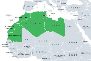
Maghreb, Arab Maghreb or also Northwest Africa, political map. Part of the Arab World, comprising Algeria, Libya, Morocco, Mauritania, Tunisia, Western Sahara and the Spanish cities Ceuta and Melilla.

Political color map of MENA region with borders of the states. Middle East and North Africa

Political color map of MENA region with borders of the states. Middle East and North Africa

New administrative and political map of the twelve regions of the Kingdom of Morocco 2015
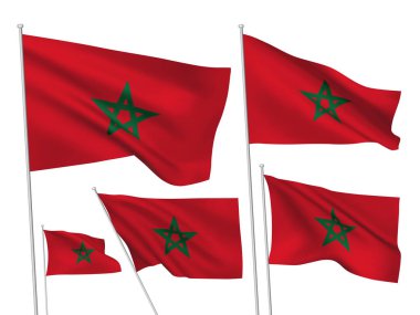
Morocco vector flags set. 5 wavy 3D cloth pennants fluttering on the wind. EPS 8 created using gradient meshes isolated on white background. Five fabric flagstaff design elements from world collection

Northern africa administrative map with flags