
Colored background with different accessories
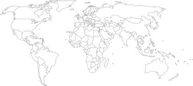
Vector illustration of world map, white color with black outline, isolated
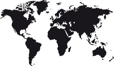
Black map of world with countries borders

Idaho line art map - red, blue and white on black background

North Carolina line art map - red, blue and white on black background

California line art map- red, blue and white on black background

World Map Made of Wavy Lines

Map of Russia - Vector Outline Illustration
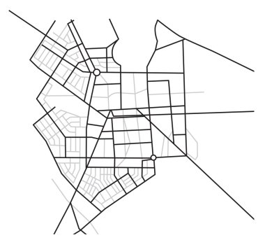
City map - vector scheme of roads

Vector illustration of world map, blue continents isolated on white

Blank map of World with thin black smooth country borders on white background. Simplified flat vector illustation.

Blank outline map of World. Worksheet for geography teachers usable as geographical test in school lessons.

Black outline map of World. Simple vector illustration.

Blank black vector outline map of USA, United States of America.

Vector political map of world. Black outline on white background with country name labels.

World map with country borders, thin black outline on white background

Vector political map of world. Black outline on white background with country name labels.

Simple contour map of Germany. Black outline vector map isolated on white background.

World map with country borders, thin black outline on white background. Simple high detail line vector wireframe.
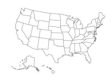
Blank outline map of United States of America. Simplified vector map made of black outline on white background

World map with smoothed country borders. Thin black outline on white background

Democratic Republic of the Congo - solid black outline border map of country area. Simple flat vector illustration.

Mozambique - solid black outline border map of country area. Simple flat vector illustration.

Greece - solid black outline border map of country area. Simple flat vector illustration.

Map of Russia - Vector Outline Illustration

Paraguay - solid black outline border map of country area. Simple flat vector illustration.
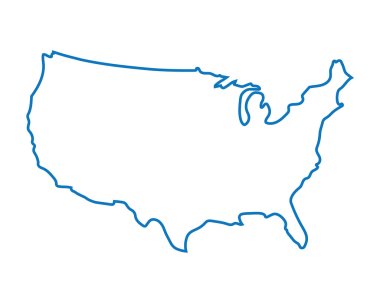
Blue abstract map of United States

Mexico - solid black outline border map of country area. Simple flat vector illustration.

Italy - solid black outline border map of country area. Simple flat vector illustration.

Political map of Africa. Simplified black wireframe outline. Vector illustration.

Blank outline map of World. Vector illustration.

Blank outline map of United States of America. Simplified vector map made of black outline on white background.

Brazil - solid black outline border map of country area. Simple flat vector illustration.

Vector illustration of world map, grey continents isolated on white

Tanzania - solid black outline border map of country area. Simple flat vector illustration.

Venezuela - solid black outline border map of country area. Simple flat vector illustration.

Blank outline map of World. Vector illustration.

Outlined Germany map country silhouette vector drawing template for your design.

Guatemala map outline vector with administrative borders, regions, municipalities, departments in black white colors. Infographic design template map.

Map of Victoria Australia. Black and outline maps. EPS Vector File.

Map of Antarctica. Black outline. High detailed vector illustration isolated on white background.
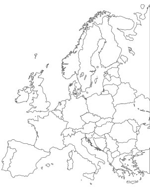
Europe vector map - Outline Contour Vector map

Philippines - solid black outline border map of country area. Simple flat vector illustration.

Ukraine - solid black outline border map of country area. Simple flat vector illustration.

Kazakhstan - solid black outline border map of country area. Simple flat vector illustration.

Vietnam - solid black outline border map of country area. Simple flat vector illustration.

World Map silhouette Black color White line drawn vector design

Thailand - solid black outline border map of country area. Simple flat vector illustration.

United Kingdom of Great Britain and Northern Ireland, UK - solid black outline border map of country area. Simple flat vector illustration.

Topographic map background with space for your copy

Russia map - High detailed Black map with counties/regions/states of russia. russia map isolated on transparent background.

World map with country borders, thin white outline on black background. Simple high detail line vector wireframe.

Spain - solid black outline border map of country area. Simple flat vector illustration.

New Zealand - solid black outline border map of country area. Simple flat vector illustration.

Simple all european union countries in one outline map eps10

Comunidad de Madrid outline map. Vector map of Comunidad de Madrid city area within its borders. Grey with shadow on white background. Isolated illustration.

Map of world with black outline and grey fill, vector illustration

Political map of Asia. Simplified black wireframe outline. Vector illustration.

Africa map isolated on white background. World map vector illustration .
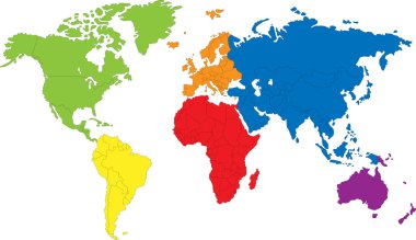
Colored map of the World with countries borders

Color map of Western Asia divided by the countries

Ireland map and flag vector, Ireland map, Ireland flag

Haiti map outline vector with administrative borders, regions, municipalities, departments in black white colors. Infographic design template map
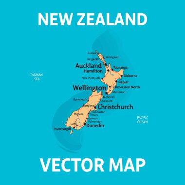
NZ map. Vector map of New Zealand with cities, rivers and roads on separate layers.

Normal and enable state.

Political map of Arfica. Simplified thin black wireframe outline with national borders and country name labels. Vector illustration.

Russian Federation vector set. Detailed country shape with region borders, flags and icons isolated on white background.

Administrative and political map of indian state of Tamil Nadu, india

Latvia map illustration vector detailed latvia map with all state names

Administrative and political map of indian state of Maharashtra, india

Canada flag on map of country

Map of Russia with flag - vector illustration

Detailed illustration of a map of Kazahkstan with flag, eps10 vector

Abstract detailed colored topographic outline map
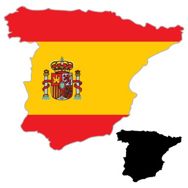
Spain map flag on a white background. Vector illustrator.

Blue abstract map of Arizona

Oregon map shape, united states of america. Flat concept icon symbol vector illustration .

Denmark outline map vector with administrative borders, regions, municipalities, departments in black white colors

Yellow map of Tennessee with indication of largest cities

Netherlands map icon, vector illustration.

Black map of Ohio

Transparent - High Detailed Grey Map of United States of America. Vector Eps 10.

Map of Russia - vector illustration

Blank black vector outline map of USA, United States of America.

Missouri line art map - red, blue and white on black background
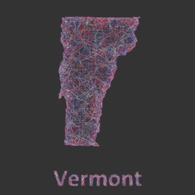
Vermont line art map - red, blue and white on black background

Massachusetts line art map - red, blue and white on black background

Washington line art map - red, blue and white on black background
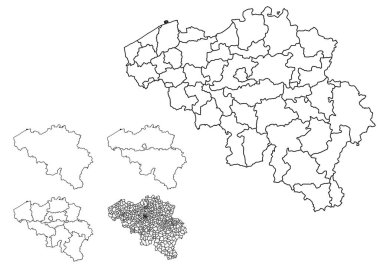
Belgium outline map vector with administrative borders, regions, municipalities, departments in black white colors

Riau Islands blank outline map set on white

Oregon and United States outline map isolated on white background

Florida line art map - red, blue and white on black background

Poster on the theme of travel, recreation and adventure. Luggage, documents, map, camera and inscription. Prepare for your journey. Travel items. White sculpture on a dark background. The view from

Lesotho map design with 3D style. Blue Lesotho map and National flag. Simple vector map with contour, shape, outline, on white.

Simple outline map of Nicaragua with national symbols

Texas line art map - red, blue and white on black background

Digital vector australia map with abstract colored triangles and white outline, flat style

Michigan line art map - red, blue and white on black background

Jordan map outline vector with administrative borders, regions, municipalities, departments in black white colors. Infographic design template map.

Philippines map design with 3D style. Blue Philippines map and National flag. Simple vector map with contour, shape, outline, on white.