Description:
The Nova Map White SVG vector is a sleek and minimalist representation of a geographical map, designed for versatility in various applications. This vector format ensures high-quality resolution without loss of detail, making it suitable for both digital and printed media. The design features clear lines and delineations, allowing for easy customization and resizing. It is available in SVG format, which is ideal for layering and editing in graphic design software. The simplistic style promotes a clear understanding of geographical elements while maintaining a professional look. Suitable for use in presentations, websites, or educational publications, this vector is an essential asset for anyone in need of reliable cartographic illustrations.
Usage ideas:
This Nova Map White SVG vector can be utilized in a multitude of commercial and educational contexts. For instance, it can serve as a foundational element in travel brochures or educational resources, offering a clear visual reference for geography lessons. Additionally, businesses can incorporate this vector into their marketing materials, such as infographics or presentations, to effectively communicate location-based information. The vector can also be integrated into mobile applications and websites to enhance user experience by providing intuitive navigation aids. Furthermore, graphic designers might leverage this illustration as a backdrop for event flyers or as a thematic element in corporate branding.
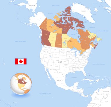
A High Detail vector Map of Canada, with capitals and major cities, a 3D globe centered on North America with canada Highlighted, and Canada flag.

Map of Canada divided into 10 provinces and 3 territories. Administrative regions of Canada. White map with black outline and black region name labels. Vector illustration.

Detailed map of Canada

Map of Canada divided into 10 provinces and 3 territories. Administrative regions of Canada. Blank white map with black outline. Vector illustration.
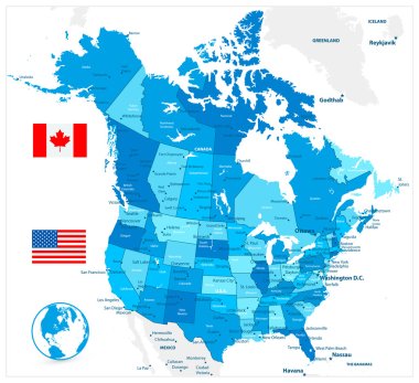
USA and Canada large detailed political map in colors of blue

USA and Canada large detailed political map in colors of blue and map pointers

North America with highlighted Canada map. Vector Illustration

Newfoundland and labrador vector map

Map of Canada divided into 10 provinces and 3 territories. Administrative regions of Canada. Blue map with labels. Vector illustration.

Thirteen flags the Provinces of Canada - alphabetical order with name. Set of 2d geolocation signs like flags Provinces of Canada. Thirteen geolocation signs for your design. EPS10.

Canada Regions Map with Editable Outline Vector Illustration

Canada Regions Map Vector

Canada flag on map of country

Nova Scotia Province and Territory of Canada. Black Illustration and Outline. Isolated on a White Background. EPS Vector

Canada Regions Map Vector

Canada map with flag inside, canada map vector, map vector

Map of Canada - vector illustration

Detailed map of Canada

Vector blank map of Canada with provinces and territories and administrative divisions. Editable and clearly labeled layers.
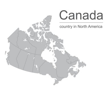
Canada map vector outline illustration with provinces or states borders on a white background.

Vector illustration of Canada Administrative Map in Shades of Green

Map of Canada with red push pin indicating Ottawa

Doodle Map of Canada - vector illustration

Detailed map of Canada

Vector illustration of Canada country map

Vector illustration of Canada Administrative Map in vibrant colors

Canada map administrative division, separates regions and names individual region, design card blackboard chalkboard.

Canada map. Golden Canada logo. Creative Canada logo design

Map of Nova Scotia. Flag of Nova Scotia. Provinces and territories of Canada. Vector illustration

Color contour map of Canada. Vector illustration

Contour map of Canada on white background. Vector illustration

Detailed map of Canada isolated on white background
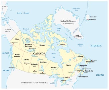
Canada vector map with provinces and boundary

Vector map of Canada with provinces and territories and administrative divisions. Editable and clearly labeled layers.

Map of Nova Scotia

Vector illustration of different words about the Brazil

Map of Nova Scotia
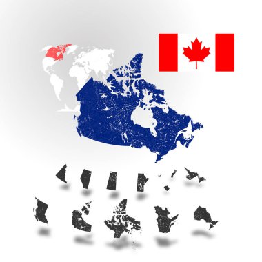
Map of Canada with rivers and lakes, maps of provinces and territories, map of world as background and flag of Canada. Please look at my other images of cartographic series - they are all very detailed and carefully drawn by hand WITH RIVERS AND LAKE

Quebec province map silhouette in canada

Canada map made with name of cities - vector illustration

Flag of Canada - vector illustration

Thirteen flags the Provinces of Canada - alphabetical order with name. Set of 3d geolocation signs like flags Provinces of Canada. Thirteen 3d geolocation signs for your design. EPS10.

Maracas and drum instrument of brazil musical culture over country map and white background. colorful design. vector illustration

Map of Canada with flag - vector illustration

Map of Nova Scotia

Canadian flags on white background. Vector icon set. Vector Illustration.

Flag of Canada - vector illustration

Flag and map of Canada, location on the map
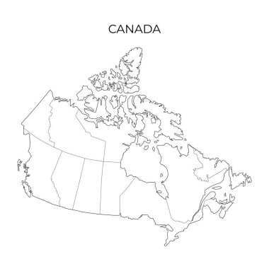
Canada administrative division map. Vector illustration in outline style