10 FREE IMAGES of ShutterstockTry Shutterstock and Get 10 Free Images

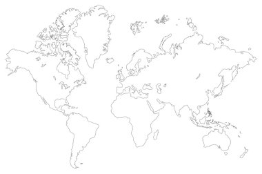
world map outline SVG, Vector And Clipart Images

() world map outline SVG Vectors and Transparent background world map outline ClipArts. All Download the royalty free graphic in the form of SVG, PNG, EPS, AI or PSD.

Description:

Usage ideas:

Colored background with different accessories clipart svg vector

Colored background with different accessories
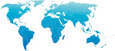
Vector illustration of world map, blue continents isolated on white clipart svg vector
Vector illustration of world map, blue continents isolated on white

High Detail Vector Political World Map illustration, cleverly organized with layers clipart svg vector
High Detail Vector Political World Map illustration, cleverly organized with layers

Black map of world with countries borders clipart svg vector
Black map of world with countries borders

Vector illustration of world map, white color with black outline, isolated clipart svg vector
Vector illustration of world map, white color with black outline, isolated

Colored map of world with countries borders clipart svg vector
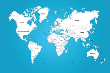
Colored map of world with countries borders

The world map with the frontiers and country names. The vector image has the grouped layers for each country. All of the countries groups ordered by the alphabet. clipart svg vector

The world map with the frontiers and country names. The vector image has the grouped layers for each country. All of the countries groups ordered by the alphabet.

World political map card paper 3D natural vector individual states separate clipart svg vector
World political map card paper 3D natural vector individual states separate

Vector World Map clipart svg vector

Vector World Map

Vector World map card paper 3D nature clipart svg vector

Vector World map card paper 3D nature

Abstract outline world map  background clipart svg vector
Abstract outline world map background

Drawing of map on squared paper clipart svg vector

Drawing of map on squared paper

Vector illustration of world map, grey continents isolated on white clipart svg vector

Vector illustration of world map, grey continents isolated on white

World Map Outline Illustration clipart svg vector

World Map Outline Illustration

World map drawn with thin line on a invisible grid of rounded squares and triangles clipart svg vector

World map drawn with thin line on a invisible grid of rounded squares and triangles

Highly detailed map of the world with countries, big cities and other labels,updated with South Sudan,Kosovo and North Macedonia clipart svg vector

Highly detailed map of the world with countries, big cities and other labels,updated with South Sudan,Kosovo and North Macedonia

Blank outline map of World. Worksheet for geography teachers usable as geographical test in school lessons. clipart svg vector

Blank outline map of World. Worksheet for geography teachers usable as geographical test in school lessons.

High Detail Vector Political World Map illustration, cleverly organized with layers clipart svg vector
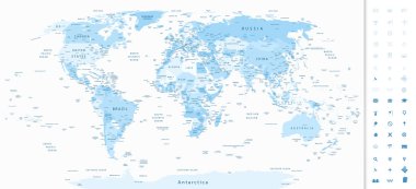
High Detail Vector Political World Map illustration, cleverly organized with layers

Highly detailed World Map in shades of soft blue colors and navigation icons. clipart svg vector
Highly detailed World Map in shades of soft blue colors and navigation icons.

Colored map of the World with countries borders clipart svg vector

Colored map of the World with countries borders

Political Physical Topographic Colored World Map Vector illustration clipart svg vector
Political Physical Topographic Colored World Map Vector illustration

World Map Outline Contour Silhouette - Asia in Center clipart svg vector

World Map Outline Contour Silhouette - Asia in Center

High quality Outlined vector map of the world with only straight lines clipart svg vector

High quality Outlined vector map of the world with only straight lines

GEOMETRIC DESIGN WORLD MAP WITH COUNTRY AND CITY NAMES. PAINTED INTO COUNTRY FLAGS COLOR. clipart svg vector
GEOMETRIC DESIGN WORLD MAP WITH COUNTRY AND CITY NAMES. PAINTED INTO COUNTRY FLAGS COLOR.

Dotted Blue World Map on White Background. Vector illustration clipart svg vector

Dotted Blue World Map on White Background. Vector illustration

Outline world map. Graphic sketch doodle style. Vector line art clipart svg vector
Outline world map. Graphic sketch doodle style. Vector line art

Vector world map isolated on chess back clipart svg vector

Vector world map isolated on chess back

Outline of a detailed world map isolated on white background. All parts of the world with a detailed edge. Vector EPS10. clipart svg vector

Outline of a detailed world map isolated on white background. All parts of the world with a detailed edge. Vector EPS10.

World political map outline. Detailed map of the world with shorelines and national borders under the Robinson projection. Blue illustration on white background. clipart svg vector

World political map outline. Detailed map of the world with shorelines and national borders under the Robinson projection. Blue illustration on white background.
World map with outline in WGS 1984 Web Mercator Auxiliary Sphere coordinate system clipart svg vector

World map with outline in WGS 1984 Web Mercator Auxiliary Sphere coordinate system

Sketch of global map in doodle style. Qualitative vector (EPS-10) graphics for geography, mapping, tourism, navigation, cartography, etc. It has only gradients clipart svg vector

Sketch of global map in doodle style. Qualitative vector (EPS-10) graphics for geography, mapping, tourism, navigation, cartography, etc. It has only gradients
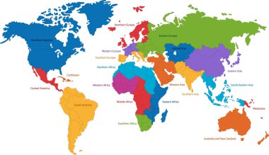
United Nations divides the world into macro-geographical regions and sub-regions clipart svg vector

United Nations divides the world into macro-geographical regions and sub-regions

World map. Light silhouette vector illustration. clipart svg vector

World map. Light silhouette vector illustration.

Map of World dark grey vector silhouette. High detailed map on light background. clipart svg vector

Map of World dark grey vector silhouette. High detailed map on light background.

High Detail Vector Political World Map illustration, cleverly organized with layers. With Country, Capitals, Main Cities, Seas and Lakes names all on different layer clipart svg vector

High Detail Vector Political World Map illustration, cleverly organized with layers. With Country, Capitals, Main Cities, Seas and Lakes names all on different layer

Map of world with black outline and grey fill, vector illustration clipart svg vector

Map of world with black outline and grey fill, vector illustration

Europe map blue white card paper 3D vector infographics clipart svg vector

Europe map blue white card paper 3D vector infographics

Outline map of World. Simple flat vector illustration. clipart svg vector

Outline map of World. Simple flat vector illustration.

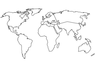
World map with country borders, thin black outline on white background clipart svg vector

World map with country borders, thin black outline on white background

World map with smoothed country borders. Thin black outline on white background clipart svg vector

World map with smoothed country borders. Thin black outline on white background

World Map Outline Contour Silhouette - Asia in Center clipart svg vector

World Map Outline Contour Silhouette - Asia in Center

Stylized map of world. world map concept. clipart svg vector

Stylized map of world. world map concept.

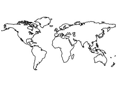
Black world map outlines isolated on white, abstract art illustration clipart svg vector

Black world map outlines isolated on white, abstract art illustration

World map with Continents - Vector Outline Map clipart svg vector

World map with Continents - Vector Outline Map

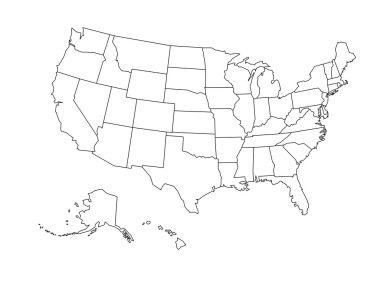
Blank outline map of United States of America. Simplified vector map made of black outline on white background clipart svg vector

Blank outline map of United States of America. Simplified vector map made of black outline on white background

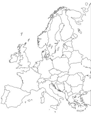
Europe vector map - Outline Contour Vector map clipart svg vector

Europe vector map - Outline Contour Vector map

Earth Globe with World map Detail Vector Line Sketched Up Illustrator, EPS 10. clipart svg vector

Earth Globe with World map Detail Vector Line Sketched Up Illustrator, EPS 10.

World map divided to six continents in black - North America, South America, Africa, Europe, Asia and Australia Oceania. Simplified black outline of blank vector map without labels. clipart svg vector

World map divided to six continents in black - North America, South America, Africa, Europe, Asia and Australia Oceania. Simplified black outline of blank vector map without labels.

Vector outlined low detail world map. Isolated on a white clipart svg vector

Vector outlined low detail world map. Isolated on a white

World map zentangle stylized, vector, illustration, freehand pencil. Print for coloring books. clipart svg vector

World map zentangle stylized, vector, illustration, freehand pencil. Print for coloring books.

Black Asia map without country borders clipart svg vector

Black Asia map without country borders

Grayscale linear vector illustration. clipart svg vector

Grayscale linear vector illustration.

Highly detailed Greenland map with flag, capital and small map of the world clipart svg vector

Highly detailed Greenland map with flag, capital and small map of the world

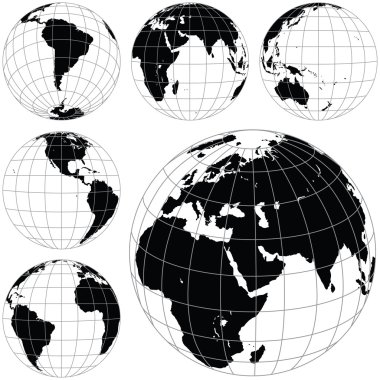
Black and white vector earth globes isolated on white background. clipart svg vector

Black and white vector earth globes isolated on white background.

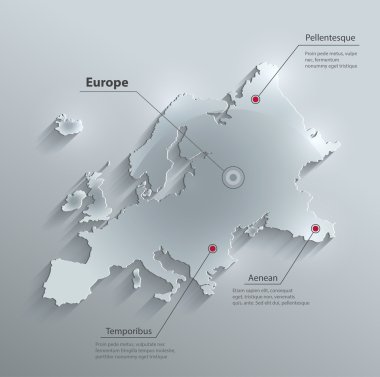
Vector Europe map glass card paper 3D clipart svg vector

Vector Europe map glass card paper 3D

United State of America map illustration vector detailed USA map with states clipart svg vector

United State of America map illustration vector detailed USA map with states

World map blue white card paper 3D vector infographics clipart svg vector

World map blue white card paper 3D vector infographics

World map with indication of Ireland clipart svg vector

World map with indication of Ireland

Vector illustration black silhouette map of Japan with the flag background clipart svg vector

Vector illustration black silhouette map of Japan with the flag background

A detailed blue world map vector illustration on a clean white background. Perfect for educational, business, or design use. clipart svg vector

A detailed blue world map vector illustration on a clean white background. Perfect for educational, business, or design use.

Outlines World map isolated on white background, editable stroke clipart svg vector

Outlines World map isolated on white background, editable stroke

Infographics World map outline, flat design, color blue orange clipart svg vector
Infographics World map outline, flat design, color blue orange

World map with smoothed country borders. Thin white outline on dark grey background clipart svg vector

World map with smoothed country borders. Thin white outline on dark grey background

World map outline card blank black vector clipart svg vector

World map outline card blank black vector

White world map outlines isolated on black background, abstract art illustration clipart svg vector

White world map outlines isolated on black background, abstract art illustration

Linear silhouette World Map. Outline minimal style design. Vector illustration clipart svg vector

Linear silhouette World Map. Outline minimal style design. Vector illustration

Green world map isolated on the white background clipart svg vector
Green world map isolated on the white background

Administrative divisions of Ukraine clipart svg vector

Administrative divisions of Ukraine

Black and white vector object clipart svg vector

Black and white vector object

Blank abstract social north Russia region area district plan shape on white paper texture. Line black hand drawn flat south east republic element concept logo emblem in modern art doodle sketch style clipart svg vector

Blank abstract social north Russia region area district plan shape on white paper texture. Line black hand drawn flat south east republic element concept logo emblem in modern art doodle sketch style

USA map card paper 3D natural vector clipart svg vector

USA map card paper 3D natural vector

Blue world map on white paper background. Detailed world map illustration clipart svg vector

Blue world map on white paper background. Detailed world map illustration

Worldwide outline map vector design clipart svg vector

Worldwide outline map vector design

World map - Asia, Australia and Pacific Ocean centered. High detailed political map of World with country, capital, ocean and sea names labeling. clipart svg vector

World map - Asia, Australia and Pacific Ocean centered. High detailed political map of World with country, capital, ocean and sea names labeling.

Vector Africa map glass card paper 3D clipart svg vector

Vector Africa map glass card paper 3D

Glowing neon Human hands holding Earth globe icon isolated on brick wall background. Save earth concept. Vector Illustration. clipart svg vector

Glowing neon Human hands holding Earth globe icon isolated on brick wall background. Save earth concept. Vector Illustration.
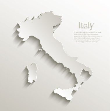
Italy map card paper 3D natural vector clipart svg vector

Italy map card paper 3D natural vector

Bold Vector Line Icon. clipart svg vector

Bold Vector Line Icon.

A black and white image displays a line art design of the world map, enclosed in a circular frame, set against a white background. Illustrative globe view. clipart svg vector

A black and white image displays a line art design of the world map, enclosed in a circular frame, set against a white background. Illustrative globe view.

Highly detailed Greenland map with borders isolated on background clipart svg vector

Highly detailed Greenland map with borders isolated on background

The world, gray general reference map. Map of the surface of the Earth with landmasses of all continents, with largest lakes, oceans and seas, in Miller cylindrical projection. Illustration. Vector. clipart svg vector

The world, gray general reference map. Map of the surface of the Earth with landmasses of all continents, with largest lakes, oceans and seas, in Miller cylindrical projection. Illustration. Vector.

Political Physical Topographic Colored World Map Vector illustration clipart svg vector

Political Physical Topographic Colored World Map Vector illustration

Political Colored World Map Vector illustration clipart svg vector

Political Colored World Map Vector illustration

Map of World. Mercator projection. High detailed political map of countries and dependent territories. Simple flat vector illustration clipart svg vector

Map of World. Mercator projection. High detailed political map of countries and dependent territories. Simple flat vector illustration

Political Physical Topographic Colored World Map Vector illustration clipart svg vector

Political Physical Topographic Colored World Map Vector illustration

Vector contour world map black and white colors clipart svg vector

Vector contour world map black and white colors

Colored blank political World Map isolated on white. All layers are separated in editable layers clearly labeled. clipart svg vector

Colored blank political World Map isolated on white. All layers are separated in editable layers clearly labeled.

High Detail Vector Political World Map illustration, cleverly organized with layers clipart svg vector

High Detail Vector Political World Map illustration, cleverly organized with layers

World map outline - vector illustration of earth map on white background clipart svg vector

World map outline - vector illustration of earth map on white background

World map. Light silhouette vector illustration. clipart svg vector

World map. Light silhouette vector illustration.

World Map Color Detailed - Asia in Center clipart svg vector

World Map Color Detailed - Asia in Center

Cartographer occupation with map measurement data outline concept. Work with earth atlas information, surface and relief guidance vector illustration. Mapping job for cartography and localization. clipart svg vector

Cartographer occupation with map measurement data outline concept. Work with earth atlas information, surface and relief guidance vector illustration. Mapping job for cartography and localization.
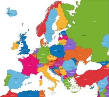
Colorful Europe map with countries and capital cities clipart svg vector

Colorful Europe map with countries and capital cities

Color Classic Style of World Map with Thin Lines Elements for Web and App Design. Vector illustration clipart svg vector

Color Classic Style of World Map with Thin Lines Elements for Web and App Design. Vector illustration

G-20 or Group of major economies in the world. Highlighted by red in blank world political map clipart svg vector
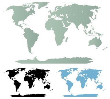
G-20 or Group of major economies in the world. Highlighted by red in blank world political map

Detailed vector maps of the world. Cartography collection. Source: http://www.lib.utexas.edu/maps/ clipart svg vector

Detailed vector maps of the world. Cartography collection. Source: http://www.lib.utexas.edu/maps/
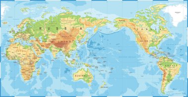
Political Physical Topographic Colored World Map Pacific Centered- vector clipart svg vector

Political Physical Topographic Colored World Map Pacific Centered- vector

Polygonal map, illustrating network and communication connection around the world clipart svg vector

Polygonal map, illustrating network and communication connection around the world

Indonesia - detailed country outline and location on world map. Vector illustration clipart svg vector

Indonesia - detailed country outline and location on world map. Vector illustration

Political Physical Topographic Colored World Map Info Graphic - Vector illustration clipart svg vector

Political Physical Topographic Colored World Map Info Graphic - Vector illustration