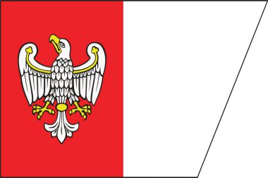
Flag of Greater Poland Voivodeship, Poland. Vector Format
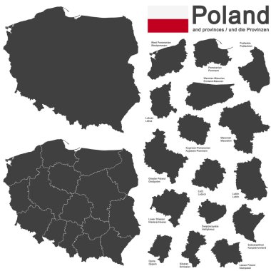
European country Poland and detailed voivodeships (provinces)
Woodcut Illustration of Map of Poland

Greater Poland region location within Poland 3d isometric map
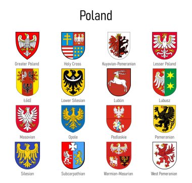
Coat of arms of the voivodship of Poland, All Polish regions emblem collection
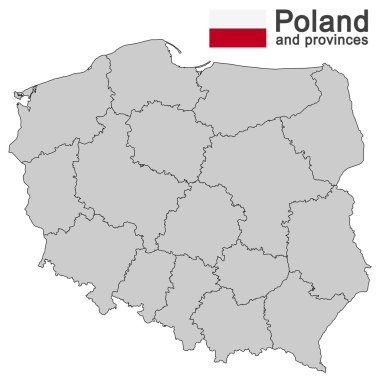
European country Poland and detailed voivodeships (provinces)
Poland map on white background. Vector
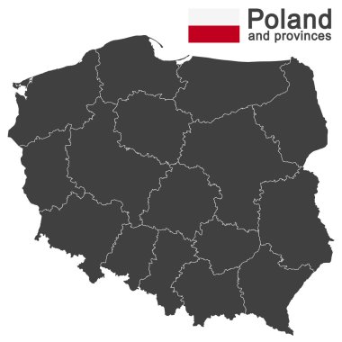
European country Poland and detailed voivodeships (provinces)
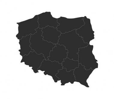
Poland map with regions on white background

European country Poland and detailed voivodeships (provinces)
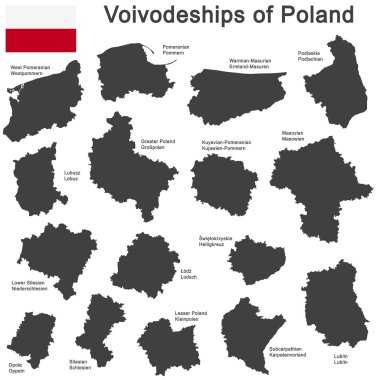
European country Poland and detailed voivodeships (provinces)
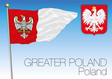
Greater Poland regional flag, Poland, vector file, illustration

European country Poland and detailed voivodeships (provinces)

Wielkopolskie province blank outline map set

Urban Poznan map. Map of Poznan, Poland borders. City poster with streets and Warta River. Light stroke version on dark background.

Simple map of Poland with voivodeships on white.
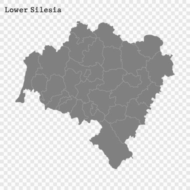
High Quality map of Lower Silesia is a Voivodeship of Poland with borders of the powiats

High Quality map of Warmia-Masuria is a Voivodeship of Poland with borders of the powiats

Colorful vector map of Poland with voivodeships on white projected in UTM coordinate system. All elements are separated in editable layers clearly labeled.

Greater Poland of Poland map shape, travel web flat concept icon vector illustration .

Blue vector map of Poland with voivodeships on white projected in UTM coordinate system. All elements are separated in editable layers clearly labeled.

Vector map of Poland administrative divisions colored by provinces with neighbouring countries. Polish names gives in parentheses, where they differ from the English ones
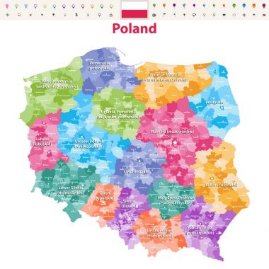
Vector map of Poland provinces(known as voivodeships) with administrative divisions. Polish names gives in parentheses, where they differ from the English ones.

High Quality map of Silesia is a Voivodeship of Poland with borders of the powiats

Vector map of Poland with voivodeships and main cities on white projected in UTM coordinate system. All elements are separated in editable layers clearly labeled. Polish voivodeships labels, names.

Vector map of Poland with voivodeships and main cities on white. All elements are separated in editable layers clearly labeled.

Vector map of Poland with voivodeships and main cities on white projected in UTM geographic coordinate system. All elements are separated in editable layers clearly labeled. Polish labels and names.

Voivodeships of Poland. Map of regional country administrative divisions. Colorful vector illustration.

Abstract rubber stamp with Poznan old town, and text Poznan, Poland inside, vector illustration

Greater Poland Voivodeship (Administrative divisions of Poland, Voivodeships of Poland) map vector illustration, scribble sketch Wielkopolska Voivodeship (Wielkopolska Province) map

Vector map of Poland provinces(known as voivodeships) with administrative divisions. Polish names gives in parentheses, where they differ from the English ones.

High Quality map of Podlaskie is a Voivodeship of Poland with borders of the powiats

Abstract rubber stamp with Poznan old town, and text Poznan, Poland inside, vector illustration

Poland country location within Europe 3d isometric map

Abstract rubber stamp with Poznan old town, and text Poznan, Poland inside, vector illustration

World Capital Solid vector illustration.