
Hong Kong map vector, Hong Kong flag vector, isolated Hong Kong

Detailed vector map of Hong Kong

Light blue design concept of Country Hong Kong Map isolated on dark green background - vector illustration
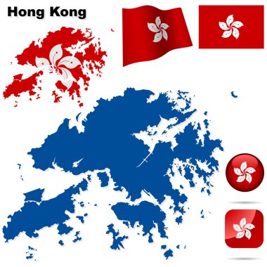
Hong Kong vector set. Detailed region shape, flags and icons isolated on white background.

Dotted map of Hong Kong. Vector eps10

People's Republic of China isolated maps and official flag icon. vector Chinese political map icons with general information. Asian country geographic banner template. travel and business concept map

Black outline of Hong Kong map

Hong Kong Special Administrative Region of the People s Republic of China road vector map

China map, administrative division, separate individual region with names, color map isolated on white background vector

Hong kong administrative division map

Color map of Eastern Asia divided by the countries

East Asia, single states, political map. All countries in different colors, with national borders, labeled with English country names. Eastern subregion of the Asian continent. Illustration. Vector.

China map. Vector illustration.

China highly detailed physical map,in vector format,with all the relief forms,regions and big cities.

Hong Kong Flag in Red Map Outline Silhouette Vector Illustration
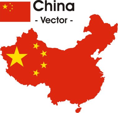
China map as vector image (with flag in the background)

A Country Shape isolated on background of the country of Hong Kong

Black map collection, black contour maps of World. Map collection Part 10.

Hong Hong China City Map in Retro Style. Vector Illustration. Outline Map.

Hong Kong map vector illustration, scribble sketch Hong Kong Special Administrative Region of the People's Republic of China

The island of Hong Kong in outline on the islands flag over a white background

A Country Shape Illustration of Hong Kong

Hong Kong silhouette skyline. China - Hong Kong vector city, chinese linear architecture, buildings. Hong Kong travel illustration, outline landmarks. China flat icon, chinese line design banner

People's Republic of China isolated map and official flag icons. vector Chinese political map 3d illustration. Asian country geographic banner design. travel and business concept maps

China, Hong Kong City city isolated skyline vector illustration, travel landmark

People's Republic of China isolated map and official flag icons. vector Chinese political map thin line illustration. Asian country geographic banner design. travel and business concept map

The detailed map of the China with regions

Hong Kong blue Low Poly map with capital, versions with flag, black and outline. Vector Illustration.

Layered editable vector illustration country map of Hongkong,which contains two versions, colorful country flag version and black silhouette version.

Map of China vector illustration, design element. Icons with Chinese lucky cat, dragon, great wall. Explore China concept image

Black map of China for your design, concept Illustration

People's Republic of China isolated map and official flag icons. vector Chinese political maps illustration. Asian country geographic banner design. travel and business concept map
China map as vector image

Pixel map of Hong Kong. Vector dotted map of Hong Kong isolated on white background. Abstract computer graphic of Hong Kong map. vector illustration.
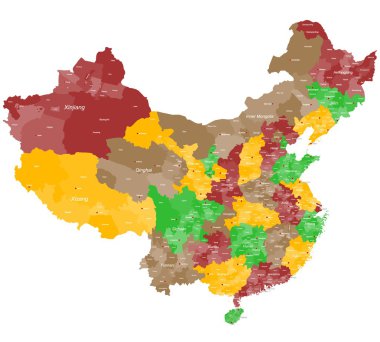
A large and detailed map of China with all prefectures and main cities.

Attractive Hong Kong travel elements collection in thin line style

Detailed map of Hong Kong with flag on black background

People's Republic of China isolated maps and official flag icon. vector Chinese political map icons with general information. Asian country geographic banner template. administrative divisions of China

The detailed map of the China with flag

Collection of hong kong icons

Vector population map of the People s Republic of China

People's Republic of China isolated map and official flag icons. vector Chinese political map illustration. Asian country geographic banner design. travel and business logo

Detailed Hong Kong Map Collection with Outline, Silhouette, Districts, and Flag Overlay Variations

A Map of the country of Hong Kong
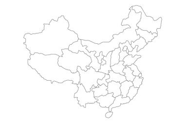
Regional map of administrative provinces of China. Thin black outline on white background. Vector illustration.

Gray map of Hong Kong. Vector eps10

Outline map of China
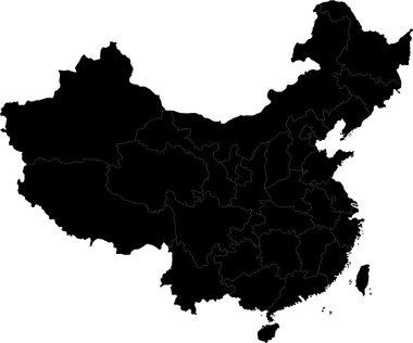
Black China map with division borders

Regional map of administrative provinces of China. Thin black outline on white background. Vector illustration.

Color map of the regions and divisions of China

Map of China with regions. All elements are separated in editable layers clearly labeled.

Illustration of a Political Map of China

China map

Gray administrative divisions of China with capital cities

China - Highly detailed editable political map with labeling.

China Physical Map. High detailed China Relief map with labeling.

Color map of the regions and divisions of China

Colorful Hong Kong administrative and political vector map

China Regions Map Vector
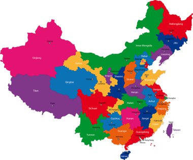
Colorful administrative divisions of China with capital cities

Map of Asia Pacific. Bangladesh, Bhutan, Brunei Darussalam, Cambodia, China, Mainland China, Taiwan Province of China, Hong Kong SAR, India, Indonesia, Japan, Korea, Laos, Malaysia, Maldives, Mongolia, Myanmar, Nepal, Pakistan, Philippines, Singapore

Map of Asia Pacific. Vector white Background

Vector Map of Asia Pacific on white back.

Vector Map of Asia Pacific on white back.

China is a unitary sovereign state in East Asia and the most populous country

Highly detailed road map of China with roads, railroads, rivers and navigaion icons. All elements are separated in editable layers clearly labeled.

Highly detailed road map of China with roads, railroads and water objects. All elements are separated in editable layers clearly labeled.

Map of China with regions. All elements are separated in editable layers clearly labeled.

China Physical Map Isolated On Retro White Color. High Detailed Relief Map of China.

China Physical Map Isolated On Retro White Color. High Detailed Relief Map of China.

China Physical Map. No text. High detailed China Relief Map.

China - Highly detailed editable political map with labeling.

China Physical Map. Isolated on white. No text. High detailed China Relief map.

China clear map

China paper map with general information isolated on white background

Map of Asia Pacific. Vector white Background

China Physical Map. Isolated on white. High detailed China Relief map with labeling.
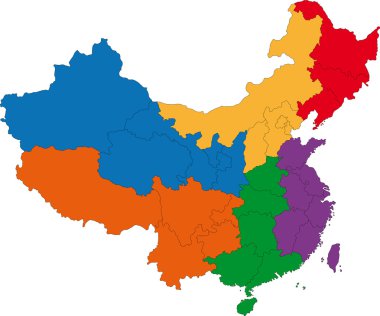
Color map of the regions and divisions of China
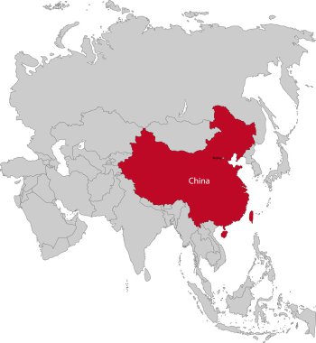
Location of China on the Asia continent

People's Republic of China road vector map

China map with province region. Flat vector illustration on isolated background

Map of Asia Pacific. - Vector illustration

Green administrative divisions of China
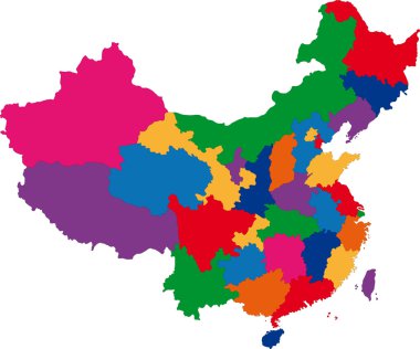
Colorful administrative divisions of China

Colorful administrative and political vector map of china with flag

High detailed China physical map with labeling.

Map of Asia Pacific. - Vector illustration

High detailed China physical map with labeling.

High detailed China road map with labeling.

China Physical Map Retro Colors. High detailed China Relief map with labeling.

Blank Map of China

Administrative divisions of China map

Detailed illustration of a map of China with flag, eps10 vector

China map with province region. Flat vector illustration on white background
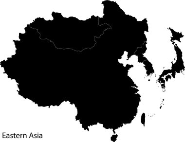
Eastern Asia map with countries and capital cities

All maps of world countries and flags . Set 3 of 10 . Collection of outline shape of international country map with shadow . Flat design . Vector .

Detailed map of China. Vector template for infographics. Editable stroke.

Outline map of China

China map with flag and name

Red cartoon linear china simple icon. concept of borders of the chinese state. flat trend modern minimal lineart logotype graphic art design infographic element isolated on white background