Vector flags set vector illustration

Black map of Hungary

Hungary vector maps with administrative regions, municipalities, departments, borders

Outline map of Hungary. Border is marked with a ribbon in the national colors. The package contains a stamp with flag and frames. The file is made with no transparencies and gradients.

Hungary map outline vector with administrative borders, regions, municipalities, departments in black white colors. Infographic design template map

Energy industry and ecology of Hungary vector map with power stations infographic.

Republic of Hungary isolated map and official flag icons. vector Hungaian political map 3d illustration. Central Europe country geographic banner template

Budapest city plan, detailed vector map
Abstract europe vector map on white
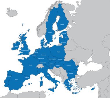
The 27 Member State of the European Union

Vector map of Hungary. High detailed country map with division, cities and capital Budapest. Political map, world map, infographic elements.

Hungary vector map with infographic elements, pointer marks. Editable template with regions, cities and capital Budapest.

Europa-highly detailed map. Vector illustration

Debrecen map, red streetmap poster, city in Hungary

Stylized vector Hungary map. Infographic 3d gold map illustration with cities, borders, capital, administrative divisions and pointer marks, shadow; gradient background.

Europe map cover vector

28 NATO member countries highlighted by blue in blank world political map

Vector set of Hungary country. Isometric 3d map, Hungary map, Europe map - with region, state names and city names.

Isometric 3D Hungary map. Stylized vector map illustration with cities, borders, capital, administrative divisions and pointer marks; gradient background with grid.

Central and East Europe vector map
Abstract europe color vector map on white

Stylized vector Hungary map showing big cities, capital Budapest, administrative divisions and country borders

Visegrad Four map states highlighted by green in map of Europe. White country name labels and isolated on white background. Vector illustration.

Vector map of Europe with borders and country names

Vector map of European Union with borders and country names

Vector map of Hungary regions rainbow colors

Shiny icon in form of Hungary - vector illustration

3D Map of Hungary . Vector - Hungary Flag Glossy Button

Detailed vector map of European Union and European countries

Abstract rounded World Map with pinned detailed Hungary map. Map and flag of Hungary. Vector Illustration.

Grunge rubber stamp with the name and map of Hungary, vector illustration

European Union. Vector Europe map with European union flag. Blue background and yellow stars

Tolna, Vas, Veszprem, Zala outline maps

Bacs-Kiskun, Baranya, Bekes, Borsod-Abauj-Zemplen outline maps

Hungary brush flag, Hungary flag brush watercolor flag design element

Detailed map of Europe

Highly detailed physical map of the Hungary, in vector format,with all the relief forms,regions and big cities.

Vector abstract city skylines of Vienna, Prague, Budapest and Warsaw in light azure color palette. Flags and maps of Austria, Czech Republic, Hungary and Poland
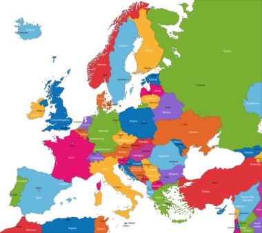
Colorful Europe map with countries and capital cities

World map illustration, vector, Hungary

Grey map of Hungary

The set of national profile of the geographic maps of the hungary state designed cartoon on the colored background

Europe map on blurred background. Blurred background with silhouette of Europe. Blur Europe. Europe. Europe map. Blur. Blur background. Silhouette of Europe. Silhouette Europe. European map. European union. Blurred.

Pen hand drawn Europe map vector on paper illustration

Map of Hungary with flag - vector illustration

Set of Vector Flag of Hungary Collection flags, label, stickers, pointer, badge and icon with symbol on design element. Vector EPS10 illustration isolated background

Hungary icons set. Pixel art. Old school computer graphic style. Games elements.

Dotted map of Hungary for your design, concept Illustration.

Flag of Hungary. Metal Round Icons. This is File from the Collection European Flags

Budapest map. Detailed vector map of Budapest city administrative area. Dark poster with streets on white background.

High detailed vector political Europe map with capitals, cities, towns, rivers and lakes.

Blue-green detailed map of Hungary administrative divisions with country flag and location on the globe. Vector illustration

Hungary - Highly detailed editable political map with labeling.

Ukraine map with individual regions and capital city, with individual neighboring states with names, classic color map vector

Simple black maps all european union countries stickers collection eps10

Croatia detailed administrative blue map with country flag and location on the world map. Vector illustration

Simple black maps all european union countries collection eps10

Rectangular map of Slovenia with pin icon of Slovenia

Political map of Balkans - States of Balkan Peninsula. Colorful vector illustration.

Vector map of Hungary on transparent background

Czech Republic and Slovakia map on a white background. Vector illustration

Map of the Ukraine in the colors of the flag with individual regions and capital city, with neighboring states with names vector
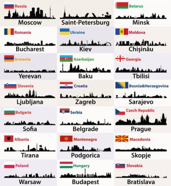
Vector silhouettes of East European cities skylines with countries flags
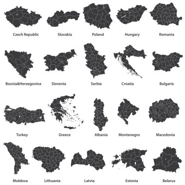
Vector maps of european countries

Color Blank Map of Europe

Vector detailed color Hungary map

Hungary administrative blue-green map with country flag and location on a globe. Vector illustration

Europe with highlighted Hungary map and flag

High detailed Hungary road map with labeling.

Hungary map | Vector detailed color Hungary map

Europe Political Map

Vector Europe map
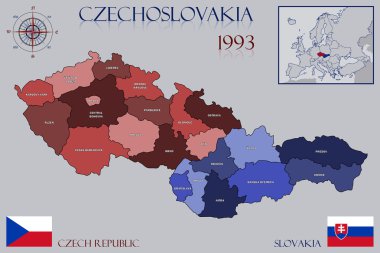
Illustration of a Map of Czechoslovakia

Baja district outline map set

Maps of all regions and counties of Hungary.

Hungary country location within Europe 3d isometric map

Hungary map in geometric polygonal style. Abstract gems triangle.
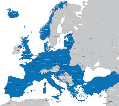
Members of NATO in Europe

Hungary - Highly detailed editable political map with labeling.

Colorful Europe continent map. Vector illustration

Vector detailed map of Europe

Europe detailed map with name. Vector illustration

Political map of Balkans - States of Balkan Peninsula. Simple flat black outline with black country name labels.

Vector political map of Hungary on white background

Czech Republic map, black and white detailed outline regions of the country. Vector illustration

Outline Europe map with countries

European political map set with map pointers

Europe Map - Vintage Detailed Vector Illustration

Map of Hungary as an overview map in pastel green

Black and white printable Budapest city map, poster design, vector illistration.

Europe map - highly detailed vector illustration.
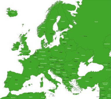
Green Europe map with countries and capital cities

Simple black outline maps all european union countries collection eps10

Circle design map from hungary capital, budapest

Simple color flags all european union countries like maps collection eps10

Political map of Balkans - States of Balkan Peninsula. Four shades of grey vector illustration.

European union map with flags

European Union map

Central Europe, colored countries, political map, with national borders and English names. Area between Western and Eastern Europe, based on common geography, historical, social and cultural identity.

Map of Hungary as an overview map in gray