
Idaho blank outline map set

Map of idaho. map concept

Idaho vector maps counties, townships, regions, municipalities, departments, borders

Set of vector polygonal Idaho maps. Bright gradient map of the US state in low poly style. Multicolored Idaho map in geometric style for your infographics.

Map of USA in idea design

Map of USA in idea design
Map of USA in idea design

Oregon state with beautiful view

British Columbia, BC, province of Canada, political map. Situated on the Pacific Ocean, bordered by Alberta, the Northwest Territories, Yukon, and the US states Alaska, Idaho, Montana and Washington.

State of Idaho, subdivided into 44 counties, outline map with borders and county names. State in the Mountain West region of the United States, nicknamed The Gem State, or The Potato State. Vector

Idaho line art map from colorful curved lines
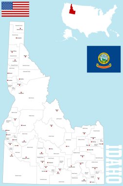
A large and detailed map of the State of Idaho with all counties and county seats.

Idaho state map with counties. Vector illustration.

British Columbia, BC, province of Canada, gray political map. Situated on the Pacific Ocean, bordered by Alberta, Northwest Territories, Yukon, and the US states Alaska, Idaho, Montana and Washington.

High detailed USA map with federal states. Vector illustration United states of America on black background.

Idaho ID state Map USA with Capital City Star at Boise. Black silhouette and outline isolated on a white background. EPS Vector
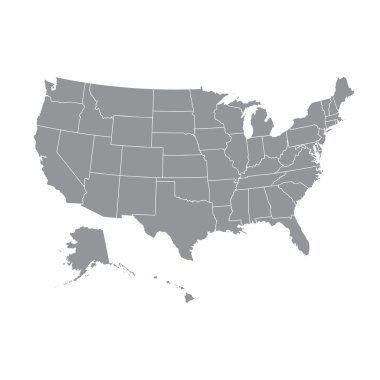
High detailed USA map with federal states. Vector illustration United states of America.
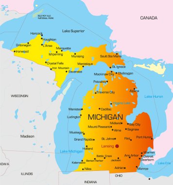
Vector color map of Michigan state. Usa
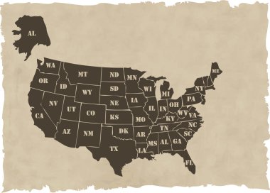
The vector retro usa map

USA Map Each state in separate layers

Usa Vector Map
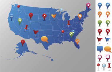
Every state is in its own shape.

The vector gold usa map set

A large, detailed map of the State of Idaho with every county and main city.
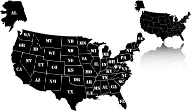
The vector black usa map set

High detailed vector map - United States. USA vector flat

Map of the United States cut paper vector illustration

High detailed USA map with federal states. Vector illustration United states of America.

United Stated map in silhouette version

American color map vector art

Illustration of State of Idaho, USA

Map of USA in idea design

Retro Colors Political map of the USA with it's states and Large vector Image Set.

High detailed USA map with federal states. Vector illustration United states of America on isolated background.

Map of USA with pointer vector

High detailed USA map with federal states. Vector illustration United states of America on isolated background.

High detailed USA map with federal states. Vector illustration United states of America on blue background.

Gooding County, Idaho (U.S. county, United States of America, USA, U.S., US) map vector illustration, scribble sketch Gooding map

Outline map of the United States of America. States of the USA. Vector illustration.US map with state borders. usa silhouette

High detailed USA map with federal states. Vector illustration United states of America.

Map of USA in idea design
America Green Map Isolated on Blue Background

Idaho line art map - red, blue and white on black background

Map of USA in idea design
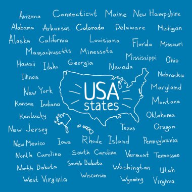
Hand drawn USA map with handwritten state names

Map of USA with vector

Map of USA in idea design

Hand drawn USA map with handwritten state names

Hand drawn USA map with handwritten state names

U.S. states - map of Idaho with paper cut effect. Hand made. Rivers and lakes are shown. Please look at my other images of cartographic series - they are all very detailed and carefully drawn by hand WITH RIVERS AND LAKES.

Idaho Map on American Flag. ID, USA State Map on US Flag. EPS Vector Graphic Clipart Icon

American golden map eps8 vector art

Map of USA in idea design

Idaho Map Flag. Map of ID, USA with the state flag. United States, America, American, United States of America, US State Banner. Vector illustration.

United States Election Word Cloud Map

Map of USA in idea design

Map of USA in idea design

United States of America Map

United States of America Map

Idaho land movement typography line logo design

Idaho state map contour. In style of USA flag.

Detailed infographic and map of Boundary County in Idaho USA.

Large and accurate map of Boundary County, Idaho, USA with vintage colors.

Idaho, U.S. state, subdivided into 44 counties, multi colored political map with capital Boise, borders and county names. State in the Mountain West region of the USA. Gem State, or also Potato State.

Large and detailed map of Boundary county in Idaho, USA.

The black and white administrative maps of Idaho State, USA

Map of Boundary County in Idaho, USA arranged in a circle.

Large and detailed map of Boundary County in Idaho USA.