Description:
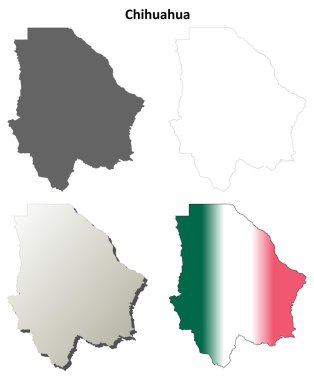
The Chihuahua boundary SVG vector presents a detailed outline of the geographical limits of the Chihuahua state in Mexico. This graphic is available in the SVG format, making it compatible with various design software for easy editing and customization. The design showcases the borders clearly, emphasizing the unique shape and features of the region. Often used in educational projects, it can also serve practical purposes in maps or travel-related designs. The clean lines and scalable nature of the SVG format are suitable for both digital and print applications. This vector graphic can be resized without losing quality, rendering it versatile for various design needs. Its simplicity allows for seamless integration into larger projects or standalone use.
Usage ideas:
This Chihuahua boundary SVG clipart can be utilized in numerous commercial and educational projects. For educators, it serves as an excellent tool for geography lessons or presentations. Businesses can incorporate this design into travel brochures or promotional materials for tours in the Chihuahua area. Graphic designers can use it in creating map visuals, travel apps, or educational materials that require geographical representation. Additionally, it can be employed in custom merchandise, such as stickers or textiles, that highlight the Chihuahua area. As a versatile asset, it can comfortably fit into a range of projects, from web design to printed goods.

Chihuahua blank outline map set

A gray map of Mexico divided into provinces

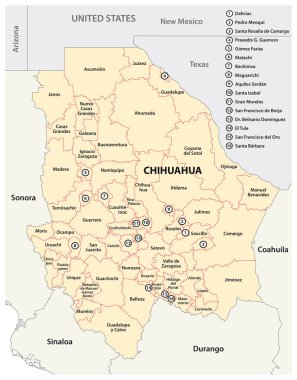
Administrative map of the Mexican state of Chihuahua

Administrative map of the Mexican state of Chihuahua

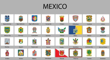
All Flags of regions of Mexico. Vector illustraion

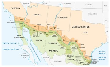
Vector map of the border districts in the United States and Mexico along the border

Mexico map vector icon set. Silhouette, states, regions, outline, flag, flat, dotted styles. Vector illustration

Chihuahua state blank outline map set