Black map of Idaho

Vector Idaho Map silhouette. Isolated vector Illustration. Black on White background.

Blue abstract outline of Idaho map
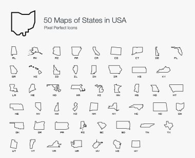
All 50 USA States Map Pixel Perfect Icons (Line Style). Vector icons of the complete United States of America states map.

Idaho line art map from colorful curved lines

Black outline of USA map
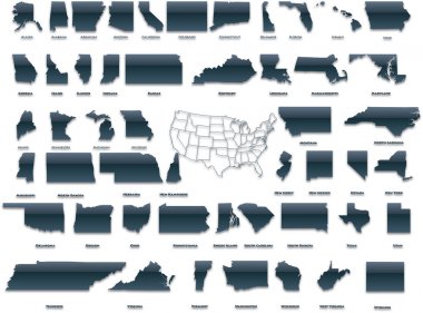
United States of America set in a nice plastic version.

Idaho line art map - red, blue and white on black background

Idaho blank outline map set

Map of idaho. map concept

Highly detailed editable political map with separated layers. Idaho.
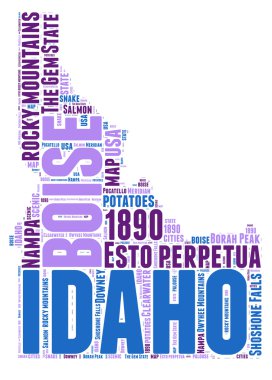
Idaho USA state map vector tag cloud illustration

Idaho Logo. Map of Idaho with us state name and flag. Classy vector illustration.
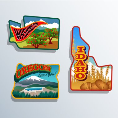
Northwest United States Idaho, Oregon, Washington retro sticker patch designs
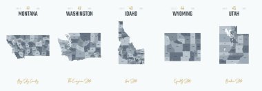
Vector set 9 of 10 Highly detailed silhouettes of US state maps, divided into counties with names and territory nicknames
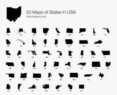
All 50 USA States Map Pixel Perfect Icons (Filled Style). Vector icons of the complete United States of America states map.

Boise city one line drawing abstract background with cityscape

Outline maps of USA states collection, black lined vector map.

Idaho ID state Map USA with Capital City Star at Boise. Black silhouette and outline isolated on a white background. EPS Vector

Grey map of Idaho

Idaho state map with counties. Vector illustration.
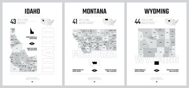
Highly detailed vector silhouettes of US state maps, Division United States into counties, political and geographic subdivisions of a states, Mountain - Nevada, Utah, Arizona - set 15 of 17

2017 Solar Eclipse Totality across America USA numeral and text color vector illustration

Political map of United States od America, USA. Simple flat black outline vector map with black state name labels on white background.
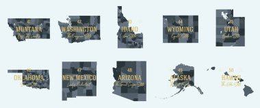
Set 5 of 5 Division United States into counties, political and geographic subdivisions of a states, Highly detailed vector maps with names and territory nicknames

United States, Boise city skyline isolated vector illustration. United States, Boise travel cityscape with landmarks
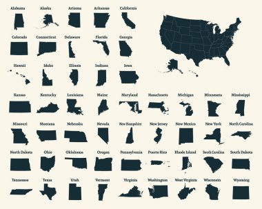
Outline map of the United States of America. 50 States of the USA. US map with state borders. Silhouette of the USA. Vector illustration.

A collection of maps of all the U.S. States in gray color. Maps with neighboring states.

Political map of United States od America, USA. Simple flat black outline vector map with black state name labels on white background.

Silhouette map of the state of Tennessee in the united states

USA map states. Vector line design. High detailed USA map. Labeled with postal abbreviatations. Stock vector. ESP 10

State of Idaho, subdivided into 44 counties, outline map with borders and county names. State in the Mountain West region of the United States, nicknamed The Gem State, or The Potato State. Vector
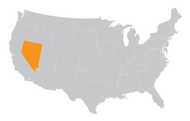
USA map with the indication of State of Nevada

Boise Skyline Silhouette. Hand Drawn Sketch. Vector Illustration. Business Travel and Tourism Concept with Modern Architecture. Image for Presentation Banner Placard and Web Site.

Stencil map of Idaho. Simple and minimal transparent map of Idaho. Black rectangle with cut shape of the us state. Modern vector illustration.

US State Maps with flag collection, nine USA map contour with flag of Georgia, Hawaii, Idaho, Illinois, Indiana, Iowa, Kansas, Kentucky, Louisiana

Texas state map silhouette in united states
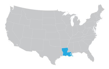
USA map with the indication of the State of Louisiana
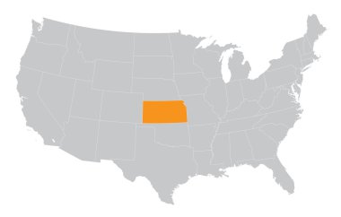
USA map with the indication of The State of Kansas

State map. USA silhouette in flat style. Vector isolated outline illusrtation
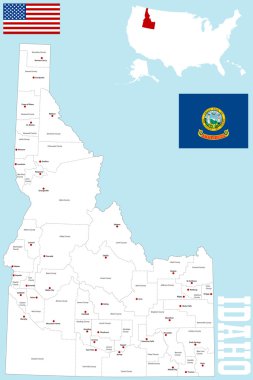
A large and detailed map of the State of Idaho with all counties and county seats.

Vintage vector round label. Idaho. Teton river. National Park

Idaho and Hawaii travel stickers with scenic attractions and retro text on vintage suitcase background

Idaho skyline silhouette vector logo
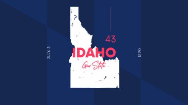
43 of 50 states of the United States with a name, nickname, and date admitted to the Union, Detailed Vector Idaho Map for printing posters, postcards and t-shirts
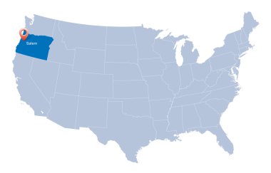
Map of USA with the indication of State of Oregon
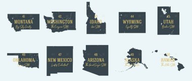
Set 5 of 5 Highly detailed vector silhouettes of USA state maps with names and territory nicknames

Idaho badge. Colorful polygonal us state symbol. Multicolored geometric Idaho logos set. Vector illustration.

Oregon state with beautiful view

Texas State United States of America

Low poly map of Idaho. Geometric illustration of the us state. Idaho polygonal map. Technology, internet, network concept. Vector illustration.

Vector map of the Colorado River drainage basin, United States

Idaho map. Us state poster with colored regions. Old grunge texture. Vector illustration of Idaho with us state name.
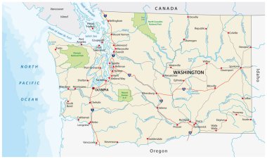
Washington state road and national park vector map

Road map of the US American State of Montana
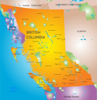
Vector british columbia province map

California Layering Map 3D Perfect for Print, Apparel, etc
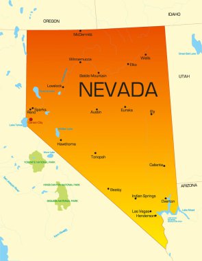
Vector color map of Nevada state. Usa

British Columbia province vector editable map of the Canada with capital, national borders, cities and towns, rivers and lakes. Vector EPS-10 file
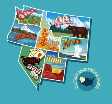
Illustrated pictorial map of Northwest United States. Includes Washington, Oregon, Idaho, Montana, Wyoming, Nevada and Utah. Vector Illustration.
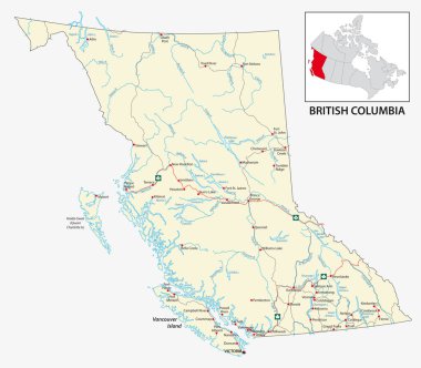
Road map of the Canadian province of British Columbia.

Roads, political and administrative map of the Western United States of America

Map of the U.S. state of Idaho

Texas State United States of America

Texas State United States of America
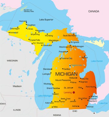
Vector color map of Michigan state. Usa

Map of the United States of America, with borders and state names, Detailed vector illustration

Outline of the state of Idaho isolated with flag inset

Red outline of USA map

All 50 USA States Map Pixel Perfect Icons (Filled Style Shadow Edition). Vector icons of the complete United States of America states map.
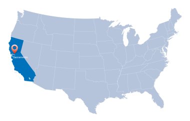
Map of USA with the indication of State of California and Sacramento
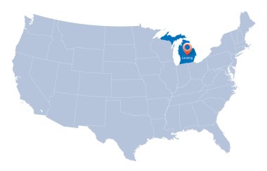
USA map with the indication of Sate of Michigan
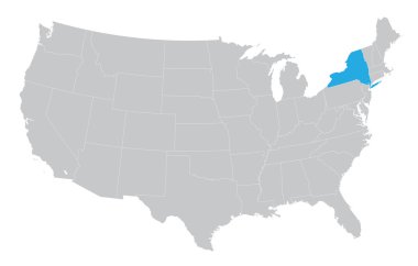
USA map with the indication of the State of New York
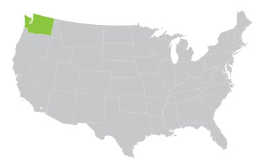
USA map with the indication of State of Washington

Map of USA with the indication of State of Colorado and Denver

Map of USA with the indication of Washington state
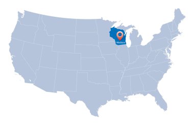
Map of USA with the indication of Wisconsin state

Map of USA with the indication of State of Oklahoma
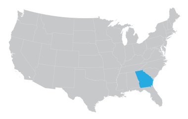
USA map with the indication of the State of Georgia

Map of USA with the indication of State of Nevada and Carson City

Blue map of the USA in origami style

Map of the USA. Image with clipping path and name of states. State mark. Idaho. Vector illustration.
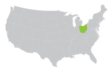
USA map with the indication of the State of Ohio

Set of 3D images of the State of Idaho with icons.

2017 Solar Eclipse Totality across America USA numeral and text on sun rays background color vector illustration

Map of USA with the indication of State of Ohio

Blue USA map- crystal like
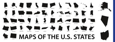
Collection of outline shape of US states map in black. Vector flat design.

Idaho Icons

Idaho state outline set into a map of The United States of America under a magnifying glass

Idaho gray vector USA map
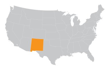
USA map with the indication of the State of New Mexico

Map of USA with the indication of State of Arizona and Phoenix

Road map of the US American State of Utah

Roads, political and administrative map of the Western United States of America with National Parks

Map outline and flag of Idaho. State seal of Idaho on a field of blue, the states of America and USA flag.

USA, Idaho , Boise winter city skyline. Merry Christmas and Happy New Year decorated banner. Winter greeting card with snow and Santa Claus. Flat, line vector, linear christmas illustration

USA map with the indication of State of Montana and Helena town

Map of USA with the indication of State of Texas and the capital

Map of United States of America - vector illustration