Description:
The Kyoto Territory SVG vector illustrates the geographical and cultural regions of Kyoto, Japan. This graphic is provided in SVG format, ensuring scalability without loss of quality. The design features clear lines and distinct areas, making it suitable for both detailed and minimalistic applications. It can be utilized in education for geography lessons, travel brochures, or digital maps. The vector format allows for easy customization in various design software, including Adobe Illustrator and CorelDRAW. This clipart can be integrated into websites, presentations, or printed materials.
Usage ideas:
This Kyoto Territory SVG vector can enhance various commercial or educational materials. For example, utilize it in designing travel guides, where users can explore regional characteristics. It can serve as a backdrop for social media posts promoting Kyoto tourism or as an engaging element in educational apps focused on Japanese culture. Graphic designers can incorporate this vector into infographics that explain Kyoto's history or as part of a branding strategy for local businesses. Additionally, it can feature in digital products like e-books, themed event invitations, or online courses about Japanese heritage.

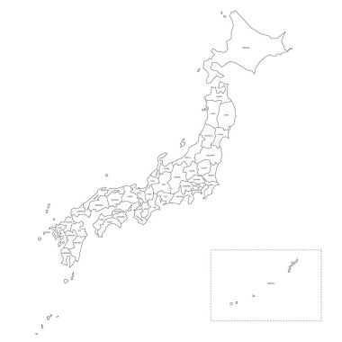
Blank political map of Japan. Administrative divisions - prefectures. Simple black outline vector map.

Political map of Japan. Administrative divisions - regions. Simple flat blank vector map

Detailed map of the Japan with cities

Political map of Japan with regions and their capitals

Colorful political map of Japan divided into regions by color. Simple flat vector map with labels.

The detailed map of the Japan with regions or states and cities, capitals

Colorful political map of Japan. Administrative divisions - regions. Simple flat vector map with labels.

Japan map vector tag cloud illustration with red words on a white background

Japan map color line icon. Border of the country. Pictogram for web page, mobile app, promo. Editable stroke

Cartoon vector map of Japan. Travel illustration with japanese main cities.

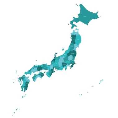
Turquoise blue political map of Japan. Administrative divisions - prefectures. Simple flat vector map with labels.

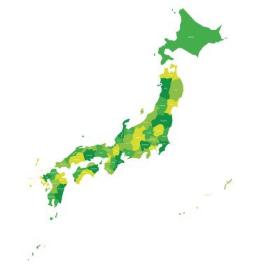
Green political map of Japan. Administrative divisions - prefectures. Simple flat vector map with labels.

Blank political map of Japan. Administrative divisions - prefectures. Simple black outline vector map.

Kyoto prefecture blank outline map set

Orange political map of Japan. Administrative divisions - prefectures. Simple flat vector map with labels.

Colorful political map of Japan divided into regions by color. Simple flat blank vector map

Isolated Japan map icons for infographics, education, and location-based design projects.

Pink political map of Japan. Administrative divisions - prefectures. Simple flat vector map with labels.

Kanto Map. Map of Japan Prefecture. Vector illustration.

The detailed map of the Japan with regions or states and cities, capitals