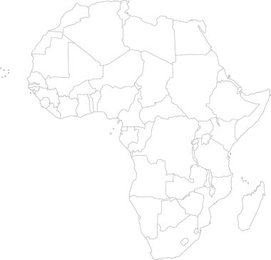
Africa map with countries
Africa map with countries

Tripoli Libya Map in Retro Style. Vector Illustration. Outline Map.

Al Wahat, An Nuqat al Khams, Az Zawiyah, Benghazi outline maps

Sabha, Surt, Tripoli, Wadi al Hayat, Wadi ash Shati outline maps

Al Jufrah, Al Kufrah, Al Marj, Al Marqab outline maps
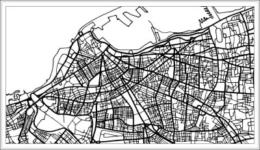
Tripoli Libya Map in Black and White Color. Vector Illustration. Outline Map.
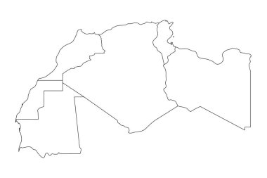
Map of Maghreb countries - Northwest Africa states. Vector illustration.

Detailed africa line map

Satellite map of Benghazi, it is the second-most populous city in Libya and the largest in Cyrenaica. Map of streets and buildings of the town center. Africa

African continent and all countries of Africa. Vector illustration

Vector illustration of black silhouette Africa. Vector Africa map.

Black abstract map of Africa

Vector Illustration of Africa Continent in Greyscale color

Vector illustration of Africa black outline map with countries. Vector Africa map.

Set of vector polygonal Libya maps. Bright gradient map of country in low poly style. Multicolored Libya map in geometric style for your infographics.
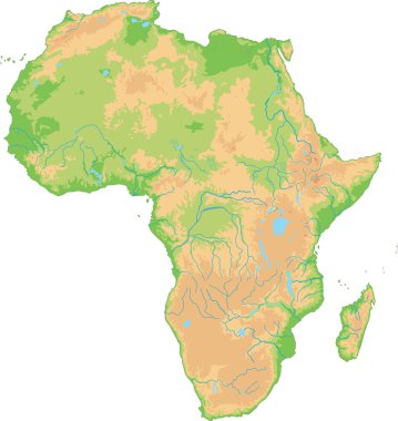
High detailed Africa physical map.

African country set with map pointers

Africa map with countries and capital cities
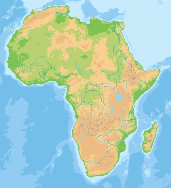
High detailed Africa physical map.
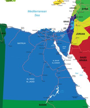
Highly detailed vector map of Egypt with administrative regions, main cities and roads.

Highly detailed political map of Northern Africa and the Middle East

Old vintage map of Northern Africa and the Middle East
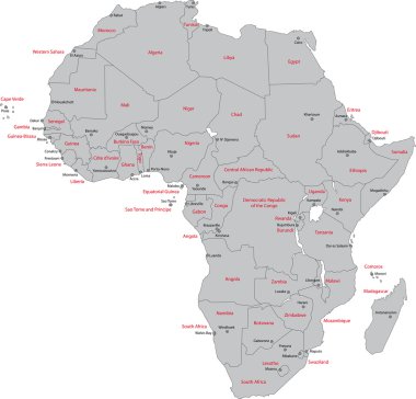
Africa map with countries and capital cities

Africa - Highly detailed editable political map with separated layers.
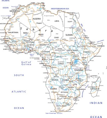
High detailed Africa road map with labeling.

Africa old vintage political map with separated layers.
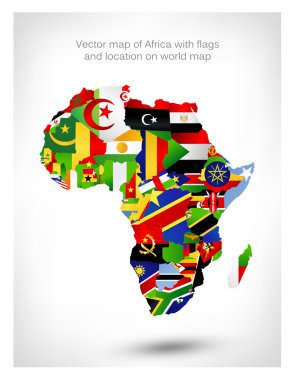
Vector map of Africa with flags and location on world map. Vector illustration.

Highly detailed physical map of Africa,in vector format,with all the relief forms,countries and big cities.
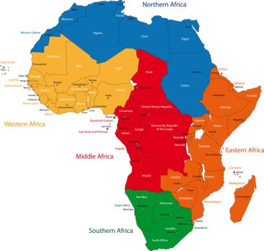
Colorful regions of Africa with countries and capital cities

Africa - Highly detailed editable political map with separated layers.

Highly detailed physical map of Africa,in vector format,with all the relief forms,countries and big cities.
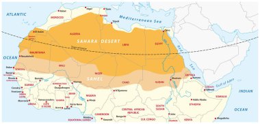
Vector map of the Sahara desert and Sahel zone
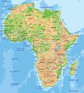
High detailed Africa physical map with labeling.

Roads vector map of the Arab Republic of Egypt

North Africa Region. Map of countries in northern Africa. Vector illustration.

Highly detailed set of vector flag maps of all the Africa countries.

Country map of the eastern mediterranean sea
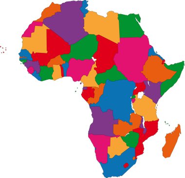
Colorful Africa map with countries
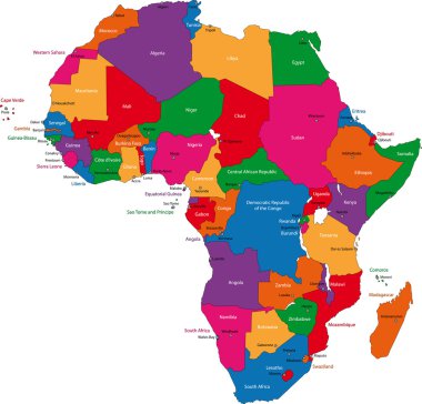
Colorful Africa map with countries and capital cities
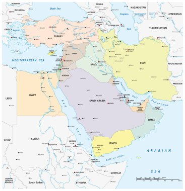
Vector map of middle east geopolitical region

Detailed africa map with separated countries

Libya highly detailed physical map

Africa - Highly detailed editable political map with separated layers.

Libya map. Country poster with colored regions. Old grunge texture. Vector illustration of Libya with country name.

Africa contoured map with highlighted South Africa. South Africa map and flag on Africa map. Vector Illustration.
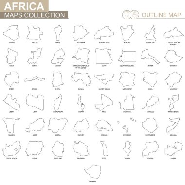
Outline maps of African countries collection, black lined vector map.

Libya network map. Abstract polygonal map design. Internet connections vector illustration.

OPEC, Organization of the Petroleum Exporting Countries. World map with black highlighted member states since 2017. Vector illustration.

Africa. Highly detailed and editable simple political map. The map includes only separated layers of continet states and capitals names, without water resources and islands.

Retro color map of Northern Africa and the Middle East

Vector map of Libya. High detailed country map with division, cities and capital Tripoli. Political map, world map, infographic elements.

Abstract Africa map of glowing radial dots. Vector illustration, eps 10

Location Map of Libya on map Africa. 3d State of Libya flag map marker location pin. High quality map of Libya. Vector illustration EPS10.

Vector Libya Map card paper on blue background, high detailed

Grey Africa map on white background

Highly detailed political map of Africa isolated on white and flat map pointers with separated layers.

Africa old retro map with separated layers.

Highly Detailed Africa political map

Northern africa administrative map with flags

African continent and all countries of Africa. Vector illustration

Africa contoured map with highlighted Ivory Coast. Ivory Coast map and flag on Africa map. Vector Illustration.

Africa highly detailed map and navigation icons. Vector illustration.

North africa - vector maps of territories

Africa highly detailed map and colored map pointers. Vector illustration.
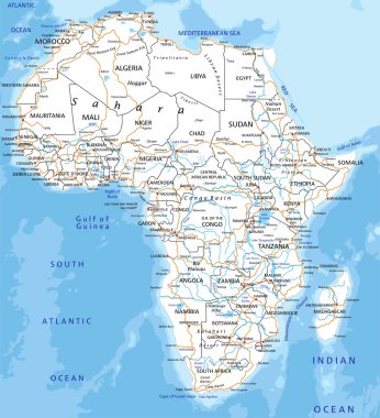
High detailed Africa road map with labeling.

Africa contoured map with highlighted Niger. Niger map and flag on Africa map. Vector Illustration.

Africa Continent Map Polygonal Geometric Design. Vector illustration.

Abstract polygonal geometric design map of Africa painted into state flags colors.

High detailed Africa road map with labeling - Black. (clearly labeled on separated layers)

Colorful Africa map
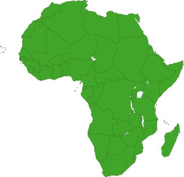
Africa map with countries

Silhouette maps of the countries of the Arab League

Africa contoured map with highlighted Senegal. Senegal map and flag on Africa map. Vector Illustration.

Africa contoured map with highlighted Lesotho. Lesotho map and flag on Africa map. Vector Illustration.

Africa contoured map with highlighted Equatorial Guinea. Equatorial Guinea map and flag on Africa map. Vector Illustration.

Africa contoured map with highlighted Guinea. Guinea map and flag on Africa map. Vector Illustration.

Colorful Africa map with countries

Africa contoured map with highlighted Cameroon. Cameroon map and flag on Africa map. Vector Illustration.

Abstract Africa map of radial dots. Vector illustration, eps 10

Highly detailed vector map of Libya with administrative regions, main cities and roads.

Africa contoured map with highlighted Sierra Leone. Sierra Leone map and flag on Africa map. Vector Illustration.

Africa contoured map with highlighted Namibia. Namibia map and flag on Africa map. Vector Illustration.

Africa contoured map with highlighted Gabon. Gabon map and flag on Africa map. Vector Illustration.

Map of Middle East with borders of countries

Blur background with silhouette of Africa. Blur Africa. Africa. Africa map. Blur. Blur background. Silhouette of Africa. Yellow Africa. Silhouette Africa. Blur Africa sunset. African map. African sun.

Africa contoured map with highlighted Libya. Libya map and flag on Africa map. Vector Illustration.

African country set with map pointers

Africa contoured map with highlighted Chad. Chad map and flag on Africa map. Vector Illustration.
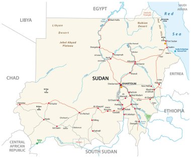
Republic of the Sudan road vector map

Orange abstract map of Africa

Map flag Libya

Blue abstract map of Africa

Map flag Libya

African country set with map pointers

A Country Shape Illustration of Libya
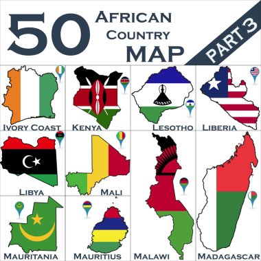
African country set with map pointers

Africa Simple line vector button. Thin line illustration icon. White outline symbol on grey background

Map flag Libya

Benghazi City (State of Libya, Cyrenaica Region) map vector illustration, scribble sketch City of Benghazi map