
Benghazi City (State of Libya, Cyrenaica Region) map vector illustration, scribble sketch City of Benghazi map
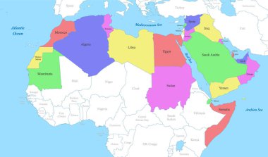
Political color map of Arab World with borders of the states

Vector political map of Africa. 5 regions of Africa. Colorful hand drawn illustration of the African continent with labels in English
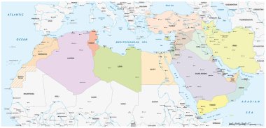
Map of the Mena Region, Middle East and North Africa
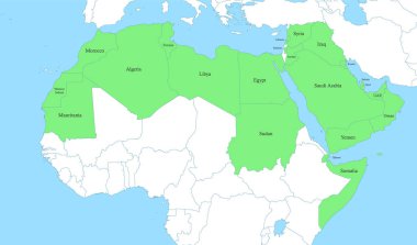
Political color map of Arab World with borders of the states

North Africa region, political map. Yellow colored area, with capitals and borders. Collective term for a group of Mediterranean countries on African continent. English labeling. Illustration. Vector.
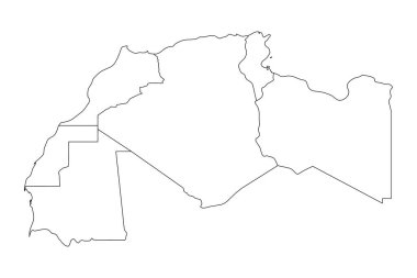
Map of Maghreb countries - Northwest Africa states. Vector illustration.

Vector political map of Africa. Colorful hand drawn illustration of the African continent with labels in English

Western Africa vector map high detailed silhouette illustration isolated on white background. Western Africa regional map with separated borders without country members. Cote d Ivore map.

Vector political map of Africa. Colorful hand drawn illustration of the African continent with labels in English

African continent and all countries of Africa. Vector illustration

Countries of Africa
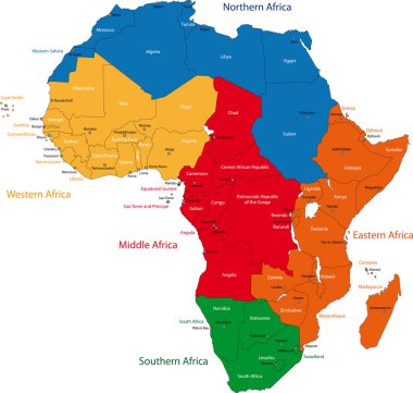
Colorful regions of Africa with countries and capital cities

Political color map of MENA region with borders of the states. Middle East and North Africa

North Africa Region. Map of countries in northern Africa. Vector illustration.

Country map of the eastern mediterranean sea
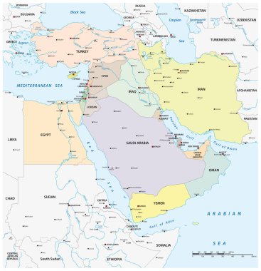
Vector map of middle east geopolitical region

Blue map of Africa with flag against white background

Africa political map with country names. Details of colorful African maps with all country names isolated on white background. Vector stock

OPEC (orange) and OPEC+ map with countries in World Equidistant Cylindrical (Sphere) Projection

Libya round sign. Futuristic satelite view of the world centered to Libya. Country badge with map, round text and binary background. Astonishing vector illustration.

Libya polygonal map. Mosaic style maps collection. Bright abstract tessellation, geometric, low poly, modern design. Libya polygonal maps for infographics or presentation.
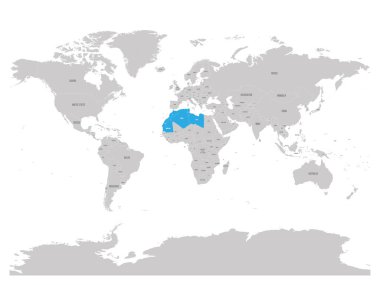
Map of Maghreb countries - Northwest Africa states blue highlighted in World map. Vector illustration.

Map of Africa with separated countries. Colorful outlines of all countries

Vector map of Libya. High detailed country map with division, cities and capital Tripoli. Political map, world map, infographic elements.

Vector political map of Africa. Colorful hand drawn illustration of the African continent with labels in English
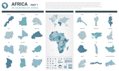
Vector maps set. High detailed 46 maps of African countries with administrative division and cities. Political map, map of Africa continent, world map, globe, infographic elements. Part 1.

Northern africa administrative map with flags

African continent and all countries of Africa. Vector illustration

Vector political map of Africa. Hand drawn illustration of the African continent with labels in English. Yellow on blue background

Colorful map of Middle East. Vector

Colorful Africa map

Map of Maghreb countries - Northwest Africa states. Vector illustration.

South Sudan country detailed editable map with regions cities and towns, roads and railways, geographic sites. Vector EPS-10 file

Map of Maghreb countries - Northwest Africa states. Vector illustration.
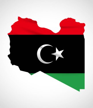
Libya Map Silhouette with National Flag Design

Al Wahat, An Nuqat al Khams, Az Zawiyah, Benghazi outline maps

Zawiya city (State of Libya) map vector illustration, scribble sketch Zawia, Alzawiyah, Zawiyah map

Al-Khums city (State of Libya) map vector illustration, scribble sketch Khums or Khoms map

Zliten city (State of Libya) map vector illustration, scribble sketch Zliten map

Libya Location Highlighted on African Map with Flag Icon.

Al Butnan, Al Jabal al Akhdar, Al Jabal al Gharbi, Al Jifarah outline maps

Al Jufrah, Al Kufrah, Al Marj, Al Marqab outline maps

Libya political map of administrative divisions - districts. 3D turquoise vector map with name labels.

Darnah, Ghat, Misratah, Murzuq, Nalut outline maps
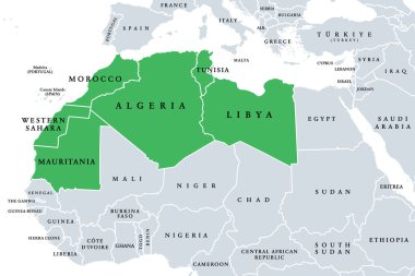
Maghreb, Arab Maghreb or also Northwest Africa, political map. Part of the Arab World, comprising Algeria, Libya, Morocco, Mauritania, Tunisia, Western Sahara and the Spanish cities Ceuta and Melilla.

Sabratha city (State of Libya) map vector illustration, scribble sketch Sabratha map

Sirte city (State of Libya) map vector illustration, scribble sketch Sirt, Surt, Sert or Syrte map

Libya political map of administrative divisions - districts. Grey blank vector editable map EPS.

Simple Libya border silhouette for geography education and political design

Political color map of MENA region with borders of the states. Middle East and North Africa

Sabha city (State of Libya) map vector illustration, scribble sketch Sebha map