
Minimalistic Rome city map poster design.

Illustration of italy province and region maps

Illustration set of italy province and region maps

Vector illustrated map of Italy with regions and administrative divisions, and neighbouring countries and territories. Editable and clearly labeled layers.

Vector blank map of Italy with regions and administrative divisions. Editable and clearly labeled layers.
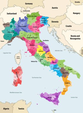
Italy provinces colored by regions vector map with neighbouring countries and territories

Illustration set of italy province and region maps
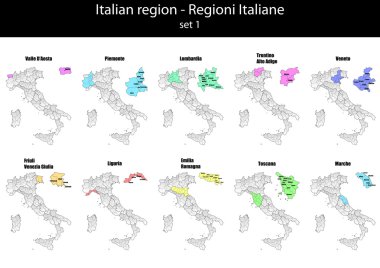
Illustration set of italy province and region maps

The Italian Republic is a unitary parliamentary republic in south-central Europe

Map of Italy divided into 20 administrative regions. Grey land, white borders and black labels. Simple flat vector illustration.

The detailed map of the Italy with regions or states and cities, capital

Map of Italy divided into 20 administrative regions in four colors. White labels. Simple flat vector illustration.

High quality colorful labeled map of Italy with borders of the regions

Italy Map - Detailed Vector Illustration

Color detailed road map, urban street plan city Rome and Florence with colorful neighborhoods and districts, Travel vector poster

Vector map of Italy with regions and administrative divisions. Editable and clearly labeled layers.

Vector blank map of Italy with regions and administrative divisions. Editable and clearly labeled layers.
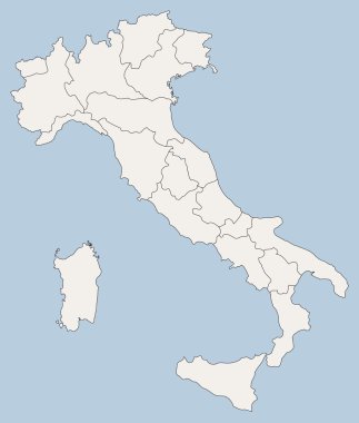
Vector map of Italy

Illustration of italy city maps

Blank map of Italy divided into 20 administrative regions.
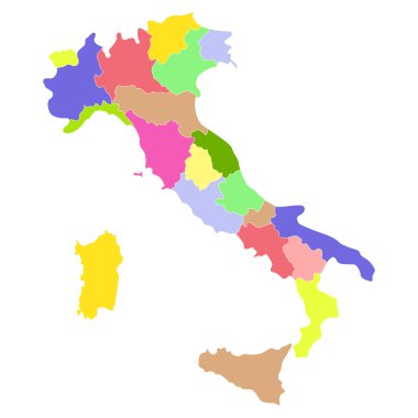
Italy map isolated on a white background. Vector illustration.
Black abstract outline of Italy map
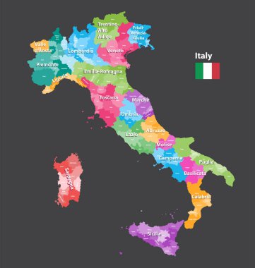
Vector Italy provinces map colored by regions. All layers detachable and labeled.
Vector map of Italy

Silhouette and colored map of Italy regions

Lazio is an administrative region of Italy located on the central portion of the Italian Peninsula

Colorful map of Italy vector silhouette illustration isolated on white background. Autonomous communities of Italy. Detailed Italian regions administrative divisions, separated provinces. outline map.

Set Flags of the states of Italy, All Italian regions flag collection

Italy political map of administrative divisions - regions. Colorful spectrum political map with labels and country name.
Vector map of Italy

Map of Italy divided into 20 administrative regions. White land and black outline borders. Simple flat vector illustration.

Italy political map of administrative divisions - regions. Shaded vector map with 3D-like blue gradient and name labels

Italy outline map vector

The black and white maps of Italy regions
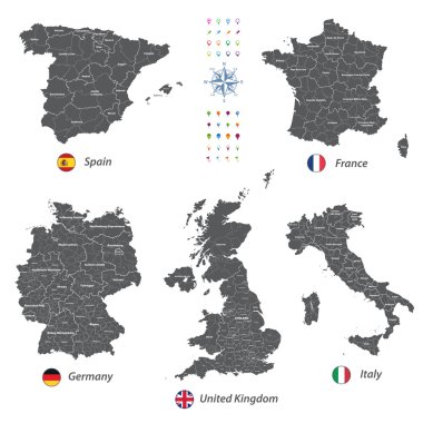
High detailed vector maps of United Kingdom, Italy, Germany, France and Spain

Coat of arms of the state of Italy, All Italian regions emblem collection

The Lazio region map divided in provinces with labels, Italy

Italy, officially the Italian Republic is a unitary parliamentary republic in Europe.
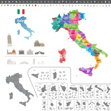
Vector Italy map colored by regions

Illustration of italy province and region maps om chalkboard

Italy Map - Vintage Detailed Vector Illustration

Illustration of italy province and region maps om chalkboard

Italy Map - Detailed Vector Illustration

Location region Lazio on map Italy. 3d Lazio location sign. Quality map with regions of Italy for your web site design, app, UI. Stock vector. EPS10.

Grunge rubber stamp with words Rome, Italy inside, vector illustratio

Italy map isolated on blue background. European country. Vector template for website, design, cover, infographics. Graph illustration.

Grey map of Italy

Detailed illustration of a Isometric Stadium, Olimpico, Rome, Italy

White map of Italy on black background

Illustration of italy province and region maps

Illustration of italy province and region maps

Vector map of Italy province gray color

Illustration of italy province and region maps

High detailed vector maps of United Kingdom, Italy, Germany, France and Spain

Map of Italy divided into 20 administrative regions in four shades of grey. White labels. Simple flat vector illustration.
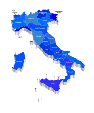
Vector map of Italy

Black map of Italy

Illustration of italy province and region maps
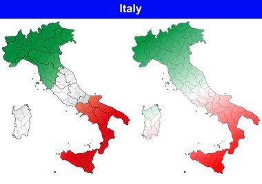
Illustration of italy province and region maps

The gray map of Italy regions with labels

Map of Italy divided into 20 administrative regions in four shades of yellow. White labels. Simple flat vector illustration.

White abstract outline of Italy map

Concept map of Italy, vector design Illustration

High detailed vector maps of United Kingdom, Italy, Germany, France and Spain

Illustration of italy province and region maps

Graphic elaboration vector file

Italy map icon for your design, concept Illustration.

All Flags provinces of Italy. Vector illustraion

All flags of the Italy regions. vector illustrations

Black map of Italy for your design, concept Illustration.

Rome blank detailed outline map set
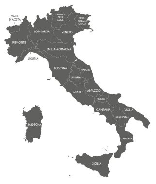
Vector map of Italy with regions and administrative divisions. Editable and clearly labeled layers.

Italy, map 3D of the regions of the Italian Republic with regional coats of arms, vector illustration

Italy, round icons of the flags of the regions of the Italian Republic on the map, vector illustration

Italy political map of administrative divisions - regions. Grey blank vector editable map EPS.

Lazio regional coat of arms and map, Italy, vector illustration

Italy, map 3D of the regions of the Italian Republic with regional coats of arms, vector illustration

Italy, map 3D of the regions of the Italy, vector illustration

Lazio, Italy, regional map and symbols of the region and cities, vector illustration

Lazio, Italy, regional map and symbols of the region and cities, vector illustration

Map of the Italian region of Lazio