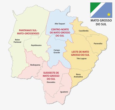
Mato grosso do sul administrative and political map with flag

Blank political map of Brazil. Administrative divisions - states. Simple black outline map.

3d isometric Map of Mato Grosso is a state of Brazil with national flag

Blank map Mato Grosso of Brazil. High quality map Mato Grosso with municipalities on transparent background for your web site design, logo, app, UI. Brazil. EPS10.

Mato Grosso state location within Brazil 3d map

A colorful map of Mato Grosso State regions, Brazil

A gray map of Mato Grosso State regions, Brazil
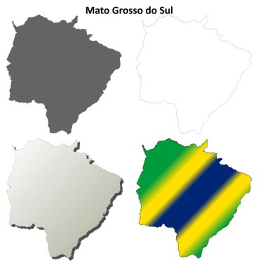
Mato Grosso do Sul blank outline map set on white

Mato Grosso blank outline map set on white

Map of the center-west region of Brazil with the identified states

The Mato Grosso State map divided in regions with labels, Brazil
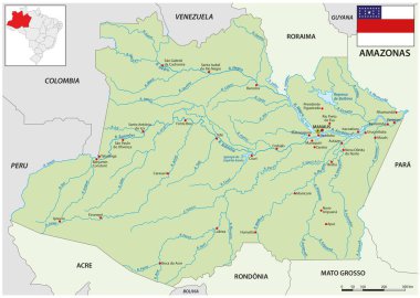
Map of the Brazilian state of Amazonas

Road vector map of the brazilian state amazonas

Political map of Brazil with all states where Mato Grosso is pulled out

Map of Mato Grosso state of Brazil and location on Brazilian map

Brazil North Region, silhouette map isolated on white background

Mato grosso administrative and political map with flag

Flag of Cuiaba is city of Brazil from brush strokes. Flag of Cuiaba on transparent background for your web site design, app, UI. EPS10.

Highly detailed physical map of the Brazil,in vector format,with all the relief forms,regions and big cities.

Blank map Mato Grosso do Sul of Brazil. High quality map Mato Grosso do Sul with municipalities on transparent background for your web site design, logo, app, UI. Brazil. EPS10.

The Mato Grosso State regions map with labels on white background, Brazil

Brazil Northeast Region, silhouette map isolated on white background

Brazil Center-West Region, silhouette map isolated on white background

Political map of Brazil with all states where Mato Grosso do Sul is pulled out

High Quality map of Mato Grosso is a state of Brazil, with borders of the municipalities

A gray map of Mato Grosso do Sul State regions, Brazil

Illustration of a map of Brazil with the center-west region highlighted

Green Brazil map flag vector silhouette illustration isolated on black background. South America country. Brazil flag.

A gray map of the Sao Paulo State regions, Brazil

A colorful map of Mato Grosso do Sul State regions, Brazil

The Mato Grosso do Sul State regions map with labels on white background, Brazil

Mato Grosso do Sul State map silhouette isolated on white background, Brazil
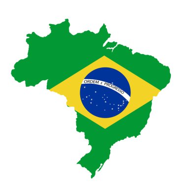
Green Brazil map flag vector silhouette illustration isolated on white background. South America country. Brazil flag.

Map of intermediate and immediate geographic regions of Sao Paulo, Brazil

Overview map of Mato Grosso do Sul, Brazil
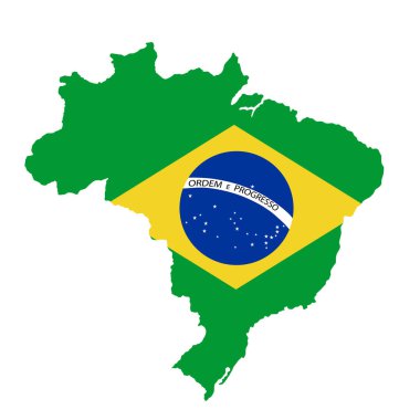
Green Brazil map flag vector silhouette illustration isolated on white background. South America country. Brazil flag.