
Map of the U.S. state of Oklahoma
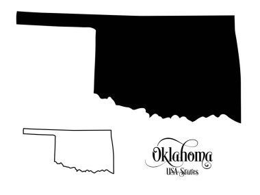
Map of The United States of America (USA) State of Oklahoma - Illustration on White Background.

Oklahoma, state of USA - solid black outline map of country area. Simple flat vector illustration.

Black map of the State of Oklahoma - vector illustration. Simple flat map State of Oklahoma.

Map of the U.S. state of Oklahoma

Stylized red sketch map of Oklahoma

Set of Oklahoma map, united states of america. Flat concept symbol vector illustration .

Oklahoma OK State Border USA Map Solid
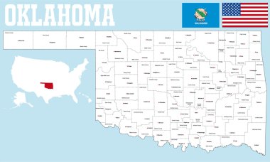
A large and detailed map of the State of Oklahoma with all counties and county seats.

Oklahoma State dark silhouette map isolated on white background

Oklahoma blank outline map set
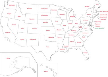
Outline USA map with states
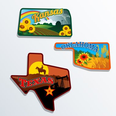
Retro state shape illustrations of Kansas, Oklahoma, and Texas

Black outline of USA map
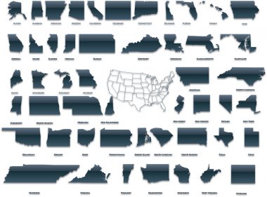
United States of America set in a nice plastic version.

Oklahoma Icons

Oklahoma, USA typography slogan design. America logo with graphic city lettering for print and web products.

Oklahoma City skyline. Detailed silhouette. Vector illustration
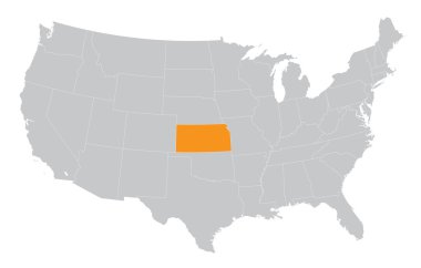
USA map with the indication of The State of Kansas

Vector set 10 of 10 Highly detailed silhouettes of US state maps, divided into counties with names and territory nicknames

Oklahoma sketchy us state. Lovely hand drawn us state. Powerful childish style Oklahoma vector illustration.

Oklahoma map vector illustration, scribble sketch Oklahoma map

The black and white administrative maps of Oklahoma State, USA
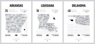
Highly detailed vector silhouettes of US state maps, Division United States into counties, political and geographic subdivisions of a states, West South Central - Arkansas, Louisiana, Oklahoma - set 12 of 17

Oklahoma state map. US state map. Oklahoma outline symbol. Vector illustration
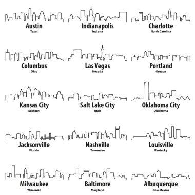
United States cities skylines vector outline icons set

Oklahoma map on white background. Oklahoma state symbol. outline Oklahoma map sign. flat style.

OKLAHOMA City Skyline Silhouette Cityscape Vector
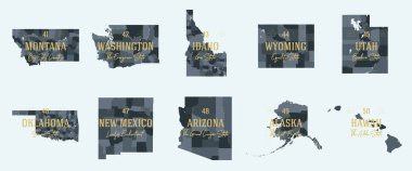
Set 5 of 5 Division United States into counties, political and geographic subdivisions of a states, Highly detailed vector maps with names and territory nicknames

TULSA City Oklahoma Skyline Silhouette Cityscape Vector

Outline maps of USA states collection, black lined vector map.
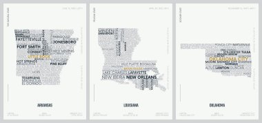
Typography composition of city names, silhouettes maps of the states of America, vector detailed posters, Division West South Central - Arkansas, Louisiana, Oklahoma - set 12 of 17
USA map with the indication of State of Nevada
USA map with the indication of the State of Louisiana

TULSA City Oklahoma Skyline Silhouette Cityscape Vector

State map. USA silhouette in flat style. Vector isolated outline illusrtation

Map of the U.S. state of Oklahoma

Map of oklahoma. map concept

Oklahoma state outline administrative and political vector map in black and white

OKLAHOMA City Skyline Silhouette Cityscape Vector

State of texas political map

Tulsa, Oklahoma skyline. Detailed vector silhouette
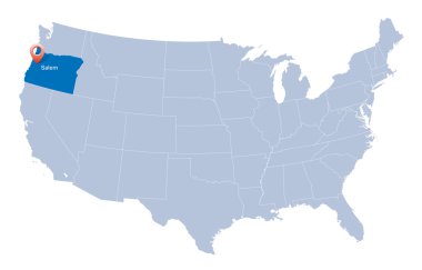
Map of USA with the indication of State of Oregon
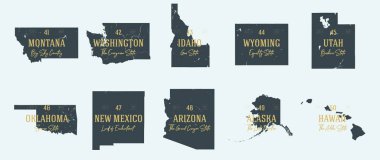
Set 5 of 5 Highly detailed vector silhouettes of USA state maps with names and territory nicknames

Colorful map of the Texas region in the USA

Oklahoma icon. Polygonal map of the us state in gradient ring. Round low poly Oklahoma sign. Vector illustration.

Texas map icon vector for your web site computer and app

Outline map of the USA state of Oklahoma

Vector map of the physical regions of Texas

Oklahoma state map outline vector logo design

Highly detailed physical map of the US state of Texas
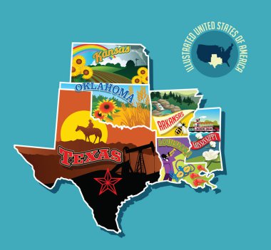
Illustrated pictorial map of south central United States. Includes Kansas, Oklahoma, Texas, Arkansas Louisiana and Mississippi. Vector Illustration.

Vector map of the Great Plains Region in North America

Street map of the US state arkansas
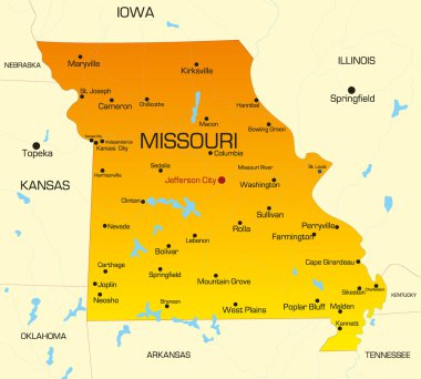
Vector color map of Missouri state. Usa

Road map of the US American State of New Mexico

Vector road map of the US state of Texas

Flag of Oklahoma from brush strokes. United States of America. Flag Oklahoma with title on transparent background for your web site design, app, UI. Stock vector. Vector illustration. EPS10.

Oklahoma map. Us state poster with colored regions. Old grunge texture. Vector illustration of Oklahoma with us state name.

Official current vector flag of the Federal State of Oklahoma, USA

Vector Map of the U.S. state of Texas

Vector road map of the US state of Oklahoma

USA map words cloud with larger american cities
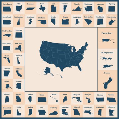
Outline map of the United States of America. 50 States of the USA. US map with state borders. Silhouettes of the USA and Guam, Puerto Rico, US Virgin Islands. Vector illustration.

Red outline of USA map

Vector Map of the U.S. state of Michigan

A set of maps of the states of america on a white background - vector illustration. A simple flat map is the United States. American flag

United States of America set in a nice glossy version.
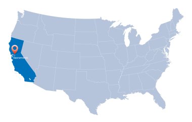
Map of USA with the indication of State of California and Sacramento
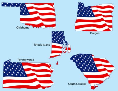
Oklahoma, Oregon, Rhode Island, Pennsylvania, and South Carolina outlines with flags, each individually grouped

Blue map of the USA in origami style
USA map with the indication of State of Washington

USA, Oklahoma , Oklahoma City winter city skyline. Merry Christmas and Happy New Year decorated banner. Winter greeting card with snow and Santa Claus. Flat, line vector, linear christmas illustratio
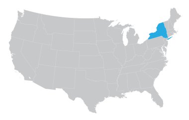
USA map with the indication of the State of New York
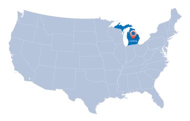
USA map with the indication of Sate of Michigan

Vector illustration of map of Oklahoma in low poly design
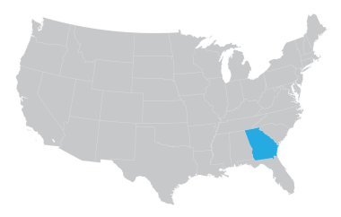
USA map with the indication of the State of Georgia

Map of USA with the indication of State of Oklahoma

Map of USA with the indication of Washington state

Map of USA with the indication of State of Colorado and Denver

Map of USA with the indication of State of Nevada and Carson City

Blue vector map of United States with indication of Oklahoma
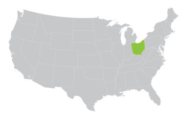
USA map with the indication of the State of Ohio
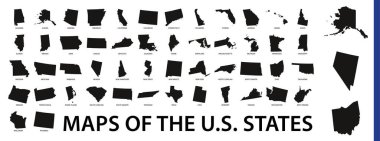
Collection of outline shape of US states map in black. Vector flat design.

Oklahoma City skyline linear style with rainbow in editable vector file

Blue USA map- crystal like
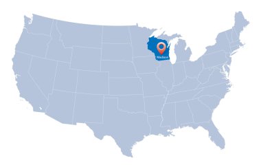
Map of USA with the indication of Wisconsin state

USA map with arrows

Map of USA with the indication of State of Ohio

Oklahoma City Vector Map, Artprint. Black Landmass, White Water and Roads.

Usa map colors flag north carolina

Oklahoma State magnified on United States map. Abstract USA map in blue color. Vector illustration.

Illustration of State of Oklahoma, USA

Oklahoma silhouette on white background, in black

Low Poly USA Map with National Colors - Infographic - Vector Illustration

Outline map of the United States of America. States of the USA. Vector illustration.US map with state borders. usa silhouette

An Oklahoma state coin isolated on a white background

Map of the U.S. state of Oklahoma
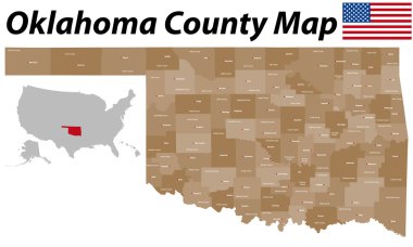
A large and detailed map of the State of Oklahoma with all counties and county seats.

USA map with the indication of State of Montana and Helena town