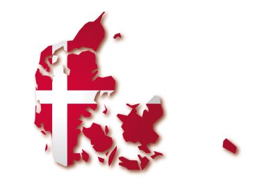
Map flag of Denmark
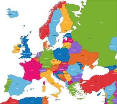
Colorful Europe map with countries and capital cities

Denmark blank detailed outline map set
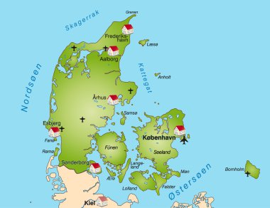
Map of denmark as an internet map

Simple all european union countries in one outline map eps10
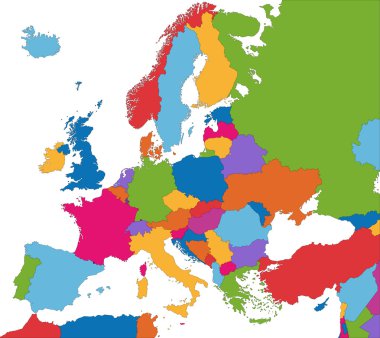
Colorful Europe map with country borders

Vector illustration - background with denmark map

Denmark outline map vector with administrative borders, regions, municipalities, departments in black white colors

Denmark map with shadow effect

Hovedstaden, Midtjylland, Nordjylland, Sjealland, Syddanmark outline maps

Denmark outline map set

Denmark - highly detailed map. Vector illustration

Blank map of Denmark in gray. Map of administrative divisions of Denmark. High detailed vector map Kingdom of Denmark on transparent background for your web site design, logo, app, UI. EPS10.

A Country Shape Illustration of Denmark

Black outline of Denmark map- vector illustration

Denmark map vector using black border lines on dark background

Vector illustration outline drawing of Greenland country map isolated on white background

Aarhus map. Detailed map of Aarhus city administrative area. Cityscape panorama. Royalty free vector illustration. Outline map with buildings, water, forest. Tourist decorative street map.
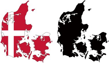
Layered editable vector illustration country map of Denmark,which contains two versions, colorful country flag version and black silhouette version.

Denmark map with shapes of regions. Blank vector map of the Country with regions. Borders of the country for your infographic. Vector illustration.

City map Copenhagen, color detailed plan, vector illustration for your design

Thin black outline map of European Union - EU. Vector illustration.
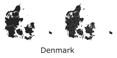
Denmark vector maps with administrative regions, municipalities, departments, borders

Outline Europe map with countries

Vector map of Denmark. High detailed country map with division, cities and capital Copenhagen. Political map, world map, infographic elements.

Map of Germany federal state Schleswig-Holstein with neighboring federal states

Greenland map vector illustration, scribble sketch Greenland

Denmark map outline - smooth country shape map vector.
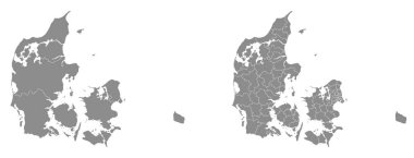
Two detailed vector maps of Danish administrative regions and areas in grey color

Scandinavia map in white background, scandinavia map vector, map vector

Political map of Europe. Black outline hand-drawn cartoon style illustrated map with bathymetry. Handwritten labels of country, capital city, sea and ocean names. Simple flat vector map.

Outline map of Europe white background. Vector map with contour.

Greenland map. Blank vector map of the Country. Borders of Greenland for your infographic. Vector illustration.

Modern Light Blue Color High Detailed Border Map Of Denmark Isolated on Blue Background Vector
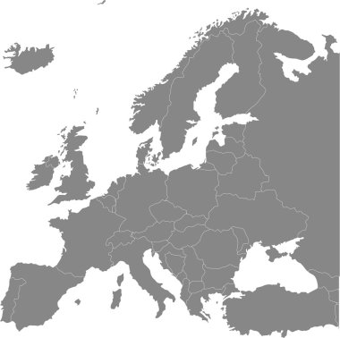
Europe vector political map

Europe - Political Map of Europe

Vector illustration black silhouette of Greenland country map isolated on white background

Black Denmark map on light grey background. Black Denmark map - vector illustration.
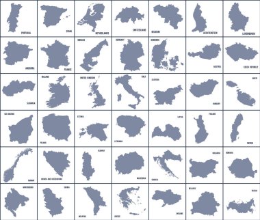
Set of maps of European countries. Travel Vector Illustration.

Scandinavia colorful map, scandinavia map vector, map vector

Map of European Countries in blue and grey tones

Set of vector polygonal Denmark maps. Bright gradient map of country in low poly style. Multicolored Denmark map in geometric style for your infographics.

Simple black outline maps all european union countries collection eps10

High quality map Europe with borders of the regions. Vector illustration

Map flag of Denmark

Denmark region map: grey outline on white background. Detailed map of Denmark regions. Vector illustration.

Low Poly map of Denmark. Denmark geometric polygonal, mosaic style map.

Map of the Scandinavian countries (Norway, Sweden and Denmark)

Europe map without names of countries

Europe Physical Map. White and Gray. No text. Detailed vector illustration of Europe Physical Map.

Boundary of Schengen Area, Europe with countries silhouettes. Eps file contains separate layers
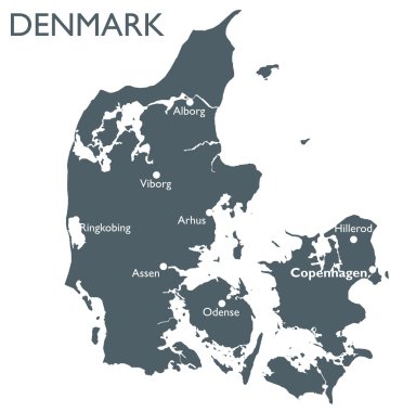
Monochrome vector Denmark map

Hand-drawn map of Denmark. Colorful country shape. Sketchy Denmark maps collection. Vector illustration.

High detailed Denmark physical map with labeling.

Outline silhouette map of Denmark with inset flag isolated over a white background

North europe - vector maps of territories

DENMARK Position Inside the World with Flag in Map
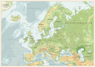
Europe Physical Map. Retro Colors. Detailed vector illustration of Europe Physical Map.
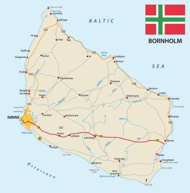
Vector road map of the Danish island bornholm in the Baltic sea with flag

Europe Physical Map. No text. Detailed vector illustration of Europe Physical Map.

High detailed Denmark physical map with labeling.

Highly detailed editable political map with separated layers. Denmark.

North Europe Region. Map of countries of Scandinavia. Vector illustration.
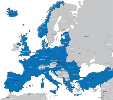
Members of NATO in Europe

Highly detailed physical map of Europe,in vector format,with all the relief forms,countries and big cities.

Colorful hand drawn vector map of Europe with countries names. Doodle style
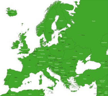
Green Europe map with countries and capital cities

Highly detailed editable political map with separated layers. Denmark.
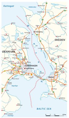
Vector map of the Oeresund waterway between Sweden and Denmark

Blank map of Europe

Europe detailed map. Vector illustration
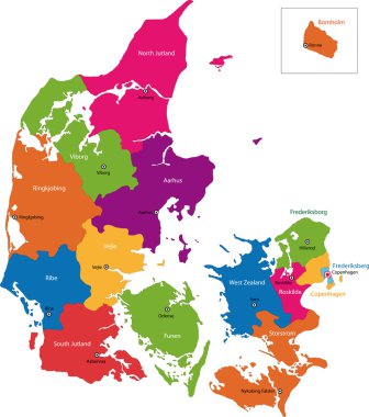
Map of administrative divisions of Denmark

Denmark network map. Abstract polygonal map design. Internet connections vector illustration.

Political and administrative vector map of northern europe with state borders

Europe Physical Map. White and Gray. Detailed vector illustration of Europe Physical Map.

Denmark vector map with infographic elements, pointer marks. Editable template with regions, cities and capital Copenhagen.
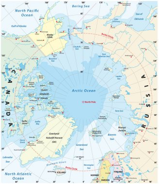
Map of the Arctic with the least and largest extent of the ice cap 2018

Europe Physical Map. Retro Colors. No text. Detailed vector illustration of Europe Physical Map.

Europe Physical Map. Detailed vector illustration of Europe Physical Map.

Europe Physical Map Isolated on White. Detailed vector illustration of Europe Physical Map.
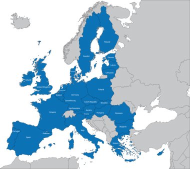
The 27 Member State of the European Union

Colorful hand drawn vector map of Europe with countries names. Doodle style

Highly detailed physical map of Europe,in vector format,with all the relief forms,countries and big cities.

Europe Physical Map. No bathymetry. Detailed vector illustration of Europe Physical Map.

Road map of the Faroe Islands North Atlantic Archipelago with flag, Denmark

Scandinavia borders map, scandinavia map vector, Denmark, Norway, Sweden and Finland

Europe Physical Map Isolated on Retro White. No text. Detailed vector illustration of Europe Physical Map.

Europe single states political map. All countries in different colors, with national borders and country names. English labeling and scaling. Illustration on white background.
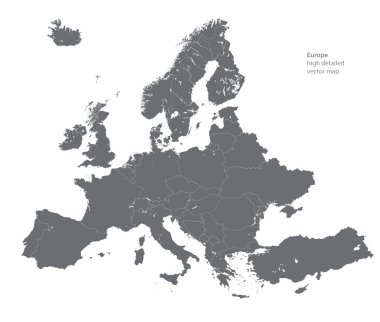
Vector high detailed map of Europe
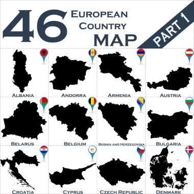
European country set with map pointers

Silhouette map of the Greenland.

Europe Physical Map. Retro Colors. No bathymetry. Detailed vector illustration of Europe Physical Map.

Europe Physical Map Isolated on White. No text. Detailed vector illustration of Europe Physical Map.
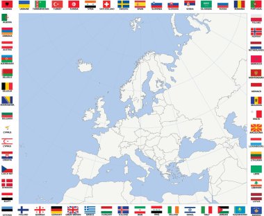
Blank map of Europe with polar stereographic projection

Europe countries political map with national borders and country names. English labeling and scaling. Illustration on white background.

Danish low poly regions. Polygonal map of Denmark with regions. Geometric maps for your design. Attractive vector illustration.

Europe Political Map and surrounding region with all countries and national borders. Blue outline illustration on white background with english scaling.
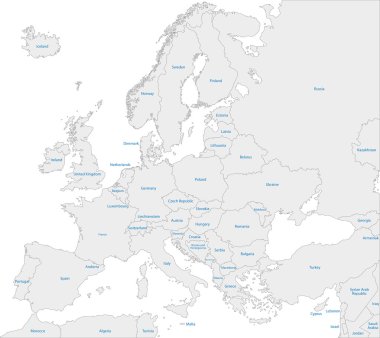
Grey Europe map with countries

Hand drawn vector map of Europe in shades of blue. Doodle style

Netherlands map hand drawn sketch. Vector concept illustration flag, childrens drawing, scribble map. Country map for infographic, brochures and presentations isolated on white background. Vector