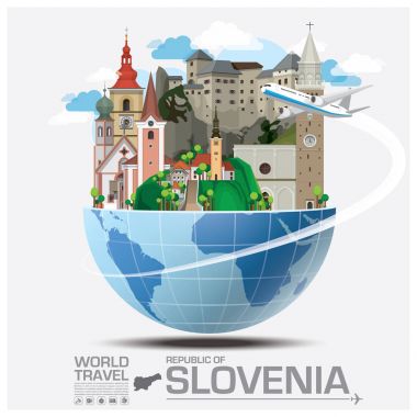
Republic Of Slovenia Landmark Global Travel And Journey Infographic Vector Design Template

Slovenia blank detailed outline map set

Black map of Slovenia

Map of Slovenia as an overview map in pastel orange
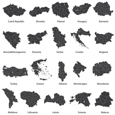
Vector maps of european countries

Slovenia map and flag - High Detailed Vector Illustration

Blue map of Slovenia

Football Slovenia map. Vector geographic scheme composed from football balls in variable sizes. Abstract Slovenia map composition is composed from randomized soccer spheres.
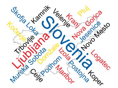
Slovenia map and words cloud with larger cities
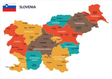
Slovenia map and flag - High Detailed Vector Illustration

Slovenia map - High detailed Black map with counties/regions/states of slovenia. slovenia map isolated on transparent background.

Slovenia - highly detailed blue map. Vector illustration

Slovenia map and flag - High Detailed Vector Illustration

Slovenia map outline with stars and lines abstract framework. Communication, connection concept. Modern futuristic low polygonal, wire frame, lines and dots design. Vector illustration.

Slovenia vector map with infographic elements, pointer marks. Editable template with regions, cities and capital Ljubljana.

Abstract Slovenia map. Vector halftone territory plan. Cartographic pixel abstraction. Schematic Slovenia map is composed of regular spheric point pattern.
Glossy colorful Slovenia map application point label symbol hanging over enlightened background

Pen hand drawn Europe map vector on paper illustration
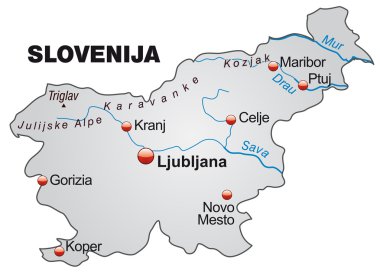
Map of Slovenia as an overview map in gray

Slovenia map card paper 3D natural vector

Map of Slovenia as an overview map in green

Political map of European continent. Versatile file, easy editable color and visibility of every state in one click in layers panel

Blue European Union map

Slovenia Map and Flag. A large group of people in the Slovenia flag color form to create the map. Vector Illustration.

Slovenia map on road sign. Square poster with Slovenia country map on yellow rhomb road sign. Vector illustration.
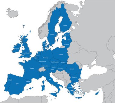
The 27 Member State of the European Union

Europa-highly detailed map. Vector illustration

Colorful Europe map

European Union map

The European Union highly detailed vector map

Old paper Italy map
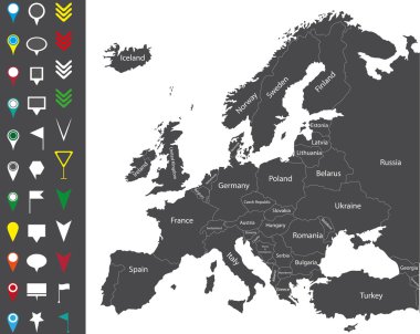
Europe map

Vector set of Slovenia country. Isometric 3d map, Slovenia map, Europe map - with region, state names and city names.

Europe and European Union map with indication of Slovenia

Slovenia map with borders, cities, capital and administrative divisions. Infographic vector map. Editable layers clearly labeled.

Slovenia map highlighted in Slovenia flag colors, gray map with neighboring countries.

Vector map of Slovenia. Country map with division, cities and capital Ljubljana. Political map, world map, infographic elements.

Slovenia Map - Vintage High Detailed Vector Illustration

Infographic for Slovenia, detailed map of Slovenia with flag. Vector Info graphic green map.

Black Europe vector map

Zoom on Slovenia Map and Flag. World Map

Vector illustration of simplified Slovenia map silhouette in a futuristic digital blue design with a mesh connecting dots and national flag placed in its capital city

Abstract blue world map with magnified Slovenia. Slovenia flag and map. Vector Illustration.

High detailed vector map of European Union with navigation pins.

Slovenia Flags Collection. Flags and contour map. Vector illustration

Illustration of europe map with yellow stars

Pacific Centered World map with magnified Slovenia. Flag and map of Slovenia.

Slovenia map with shadow effect presentation

Vector dot abstracted Slovenia map and isolated clean black, grunge red, blue, green stamp seals. Slovenia map name inside rough framed rectangles and with distress rubber texture.

Slovenia Highlighted on Europe Map with Flag Icon.

Slovenia Map Pin with National Flag on Open World Map.

Isometric Map of Slovenia. Simple 3D Map. Vector Illustration - EPS 10 Vector

Slovenia Map with red hearts- symbol of love. abstract background with text We Love Slovenia. vector illustration. Print for t-shirt
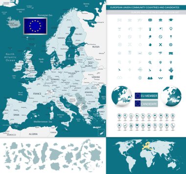
European Union community countries and candidates map with Europe highly detailed map.

Map of administrative divisions of Slovenia
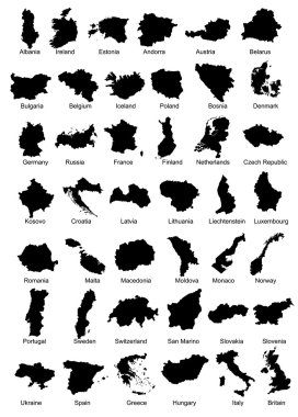
Layered vector illustration of 42 Europe Country Maps.

Vector dotted map of Slovenia isolated on white background . Travel vector illustration

Energy industry and ecology of Slovenia vector map with power stations infographic.

Slovenia map and flag vector, Slovenia map, Slovenia flag

Vector isolated postmark with map of Slovenia

European country set with map pointers

Orange button with the image maps of Slovenia in the form of national flag

High detailed vector political Europe map with capitals, cities, towns, rivers and lakes.

Political map of Balkans - States of Balkan Peninsula. Simple flat black outline with black country name labels.

European political map set with map pointers

Simple black maps all european union countries stickers collection eps10

Croatia detailed administrative blue map with country flag and location on the world map. Vector illustration

Simple black maps all european union countries collection eps10

Rectangular map of Slovenia with pin icon of Slovenia

Political map of Balkans - States of Balkan Peninsula. Colorful vector illustration.

Europe with highlighted Slovenia map and flag
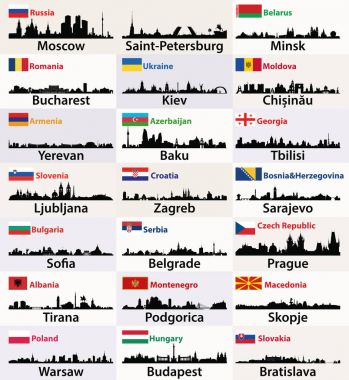
Vector silhouettes of East European cities skylines with countries flags

Central Balkan Map - Detailed Vector Illustration

Vector map of the adriatic sea with its neighboring countries

Vector Europe map

Vector map of the Italian national highway system

Italy administrative vector map
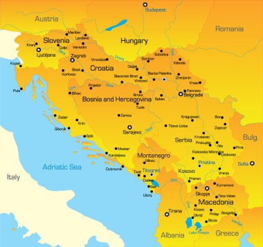
Vector color map of Balkan region

Yugoslavia map, administrative division with names, blue white card paper 3D vector

Illustration of europe chart, blue countries shape

Illustration of europe chart, colorful countries shape

Illustration of europe chart, colorful countries shape

Political map of Balkans - States of Balkan Peninsula. Four shades of grey vector illustration.
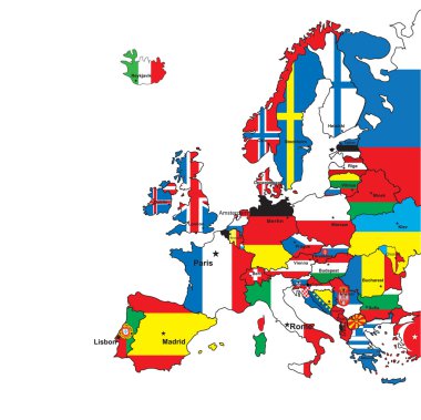
Card of Europe in the form of flags on a white background.Vector illustration

Member states of the european union map without united kingdom

Yugoslavia map, administrative division, separate individual regions with names, color map isolated on white background vector

Italy administrative and political vector map

Simple color flags all european union countries like maps collection eps10

Simple black outline maps all european union countries collection eps10

Central Europe, colored countries, political map, with national borders and English names. Area between Western and Eastern Europe, based on common geography, historical, social and cultural identity.

Map of Eurozone. States using Euro currency. Grey vector map with blue highlighted member countries.

Europa vector illustration design

Illustration of euro zone map with flags, 2012 year
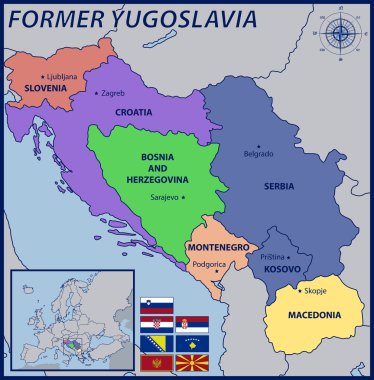
Map, Location and Flags of the Former Yugoslavia

Map of Europe

The detailed map of Slovenia with regions or states and cities, capitals. Administrative division

Italy map and flag - highly detailed vector illustration

Map of Slovenia as an overview map in pastel green

Editable map of Europe with all countries. Vector illustration EPS8

Vector illustration of a map of Europe with highlighted Slovenia and Slovenian flag isolated on a white background