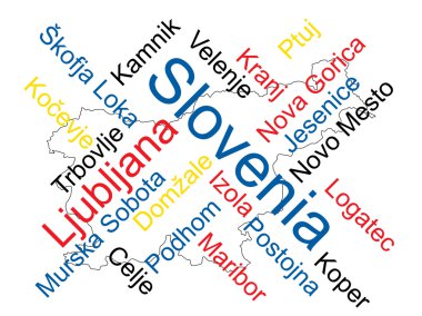
Slovenia map and words cloud with larger cities
Republic Of Slovenia Landmark Global Travel And Journey Infographic Vector Design Template

Map of Slovenia as an overview map in green
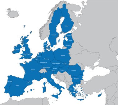
The 27 Member State of the European Union

Italy administrative and political vector map

Europa-highly detailed map. Vector illustration

Slovenia blank detailed outline map set

28 NATO member countries highlighted by blue in blank world political map

Vector set of Slovenia country. Isometric 3d map, Slovenia map, Europe map - with region, state names and city names.

Slovenia vector map with infographic elements, pointer marks. Editable template with regions, cities and capital Ljubljana.

Slovenia map with borders, cities, capital and administrative divisions. Infographic vector map. Editable layers clearly labeled.

Vector map of Slovenia. Country map with division, cities and capital Ljubljana. Political map, world map, infographic elements.

Central and East Europe vector map

Illustration of europe chart, blue countries shape

Creative Abstract Decor Design of Vector Map Design

Map of Slovenia - vector illustration

Slovenia marked by blue in grey political map of Europe. Vector illustration.

Detailed vector map of European Union and European countries

Shiny icon in form of Slovenia - vector illustration

Slovenia vector set. Detailed country shape with region borders, flags and icons isolated on white background.

Grunge rubber stamp with the name and map of Slovenia, vector illustration

Slovenia on world globe with flag and regional map of Slovenia. Vector Illustration.

Slovenia - highly detailed blue map. Vector illustration

Slovenia Map with red hearts- symbol of love. abstract background with text We Love Slovenia. vector illustration. Print for t-shirt
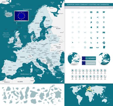
European Union community countries and candidates map with Europe highly detailed map.

Map of administrative divisions of Slovenia
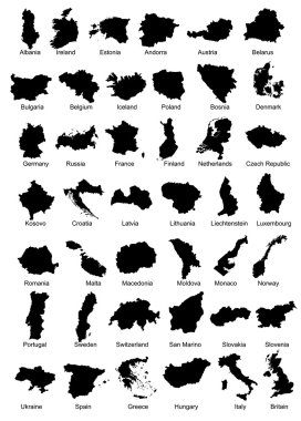
Layered vector illustration of 42 Europe Country Maps.

Pen hand drawn Europe map vector on paper illustration

Black map of Slovenia

Vector dotted map of Slovenia isolated on white background . Travel vector illustration

Energy industry and ecology of Slovenia vector map with power stations infographic.

Slovenia map and flag vector, Slovenia map, Slovenia flag

Vector isolated postmark with map of Slovenia

European country set with map pointers

Orange button with the image maps of Slovenia in the form of national flag

High detailed vector political Europe map with capitals, cities, towns, rivers and lakes.

Political map of Balkans - States of Balkan Peninsula. Simple flat black outline with black country name labels.

European political map set with map pointers

Simple black maps all european union countries stickers collection eps10

Croatia detailed administrative blue map with country flag and location on the world map. Vector illustration

Simple black maps all european union countries collection eps10

Rectangular map of Slovenia with pin icon of Slovenia

Political map of Balkans - States of Balkan Peninsula. Colorful vector illustration.

Europe with highlighted Slovenia map and flag
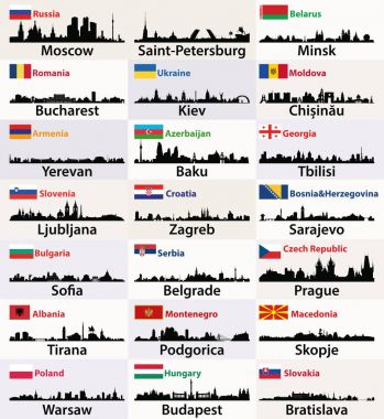
Vector silhouettes of East European cities skylines with countries flags

Central Balkan Map - Detailed Vector Illustration
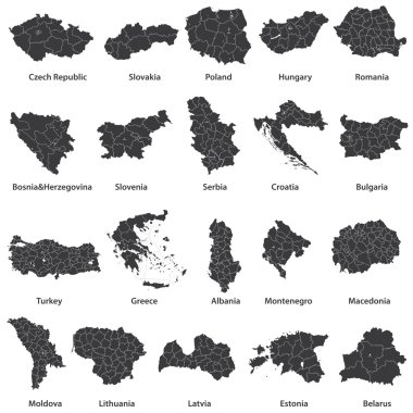
Vector maps of european countries

Political map of European continent. Versatile file, easy editable color and visibility of every state in one click in layers panel

Slovenia map and flag - High Detailed Vector Illustration

Vector map of the adriatic sea with its neighboring countries

Vector Europe map

Vector map of the Italian national highway system

Italy administrative vector map
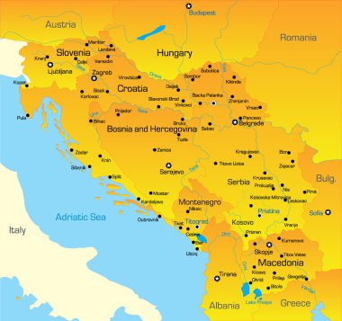
Vector color map of Balkan region

Yugoslavia map, administrative division with names, blue white card paper 3D vector

Slovenia map and flag - High Detailed Vector Illustration

Illustration of europe chart, blue countries shape

Illustration of europe chart, colorful countries shape

Illustration of europe chart, colorful countries shape

Political map of Balkans - States of Balkan Peninsula. Four shades of grey vector illustration.
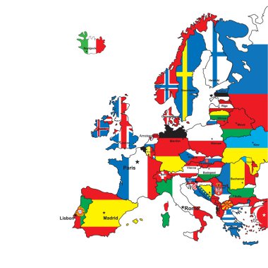
Card of Europe in the form of flags on a white background.Vector illustration

Member states of the european union map without united kingdom

Yugoslavia map, administrative division, separate individual regions with names, color map isolated on white background vector

Simple color flags all european union countries like maps collection eps10

Simple black outline maps all european union countries collection eps10

Central Europe, colored countries, political map, with national borders and English names. Area between Western and Eastern Europe, based on common geography, historical, social and cultural identity.

Map of Eurozone. States using Euro currency. Grey vector map with blue highlighted member countries.

Europa vector illustration design

Illustration of euro zone map with flags, 2012 year
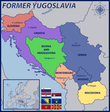
Map, Location and Flags of the Former Yugoslavia

Map of Europe

The detailed map of Slovenia with regions or states and cities, capitals. Administrative division

Italy map and flag - highly detailed vector illustration
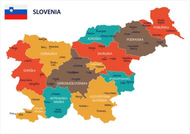
Slovenia map and flag - High Detailed Vector Illustration

Map of Slovenia as an overview map in pastel green
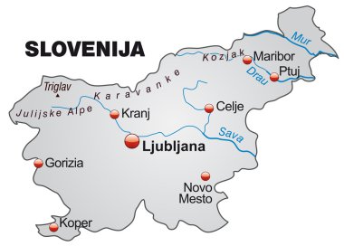
Map of Slovenia as an overview map in gray

Editable map of Europe with all countries. Vector illustration EPS8

Vector illustration of a map of Europe with highlighted Slovenia and Slovenian flag isolated on a white background

Russian aggression against Ukraine. Caricature picture of Ukraine map in clutches of Russian flag. Graphic for poster, flag, news, infographic, logo. Vector illustration.

Italy map and flag - highly detailed vector illustration

Map of Eurozone. States using Euro currency. Grey vector map with blue highlighted member countries and dark grey EU member states.

Map of Slovenia as an overview map in pastel orange

Russia on map of europe

Europa-highly detailed map. Vector illustration
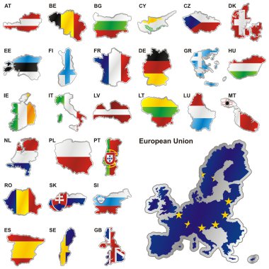
Fully editable vector illustration of all twenty-seven Member States of the European Union in map shape

Colorful Europe map

Highly detailed physical map of the Slovenia, in vector format,with all the relief forms,regions and big cities.

Illustration of europe chart, colorful countries shape

Europe - highly detailed map. Vector illustration
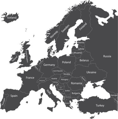
Europe political map with country names

Illustration of europe chart boarder on chalkboard

Abstract vector color map of Slovenia country

Central Balkan Map - Detailed Vector Illustration

Italy, political map, administrative divisions. Italian Republic with capital Rome, 20 regions and their capitals, international borders and neighbor countries. English labeling. Illustration. Vector.

Slovenia region map: white outline on grey background. Detailed map of Slovenia regions. Vector illustration.
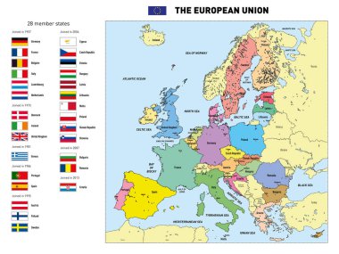
Vector highly detailed political map of The European Union with flags and capitals. All elements are separated in editable layers clearly labeled.
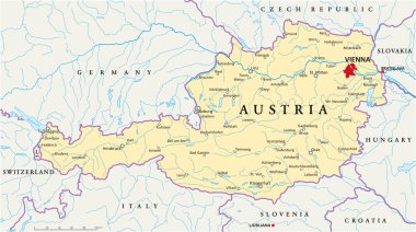
Political map of Austria with capital Vienna, with national borders, most important cities, rivers and lakes. Illustration with English labeling and scaling.
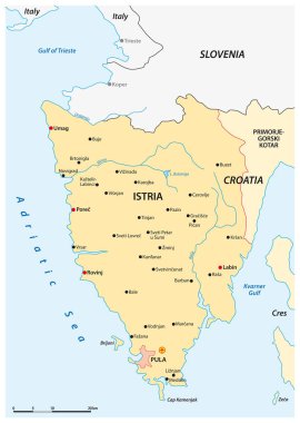
Vector map of the Croatian peninsula Istria, Croatia

Europe - Political Map of Europe

Vector map of Croatia country