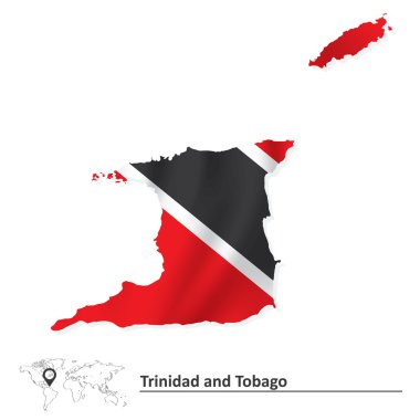
Map of Trinidad and Tobago with flag - vector illustration

Official current vector coat of arms of unitary parliamentary constitutional republic of Trinidad and Tobago

West Indies - vector maps of countries
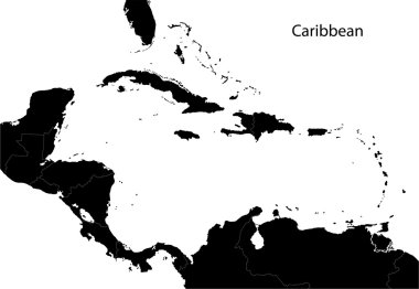
Caribbean map with countries
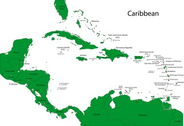
Caribbean map with countries
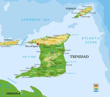
Trinidad and Tobago highly detailed physical map

Trinidad and Tobago map vector, Trinidad and Tobago flag vector, isolated Trinidad and Tobago

Caribbean islands map with names vector
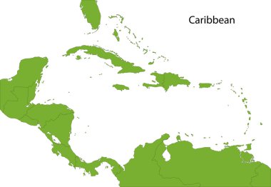
Caribbean map with countries

Colorful Caribbean map with countries and capital cities
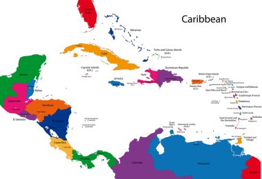
Caribbean map with countries

Caribbean -highly detailed map. Vector illustration
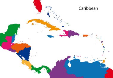
Colorful Caribbean map with countries
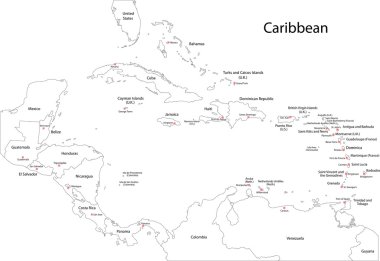
Caribbean map with countries

Political map of Carribean. Pink highlighted states and dependent territories. Simple flat vector illustration.

World flags set 4 . simple style and flat design . thick outline .

Association of the Caribbean States map

Highly detailed physical map of South America,in vector format,with all the relief forms,countries and big cities.

Highly detailed map of the South American countries. All countries are separate elements and layered in alphabetic order

UndefinedTrinidad and Tobago high detailed vector representation of country silhouette in solid black on white background. For educational, decorative, or informational use showcasing the national

Trinidad and Tobago map icon vector symbol design

Black map collection, black contour maps of World. Map collection Part 21.

Detailed vector illustration if 22 north america country maps.

Black vector map of unitary parliamentary constitutional republic of Trinidad and Tobago

Trinidad and Tobago blue Low Poly map with capital Port of Spain, versions with flag, black and outline. Vector Illustration.

Flag Republic of Trinidad and Tobago from brush strokes and Blank map. High quality map Trinidad and Tobago and flag on transparent background for your design. EPS10.

EPS10 Vector World Flag Buttons - Pack 1
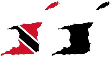
Layered editable vector illustration country map of Trinidad and Tobago,which contains two versions, colorful country flag version and black silhouette version.

Location Map Trinidad and Tobago on map Central America. 3d Trinidad and Tobago flag map marker location pin. High quality map Trinidad and Tobago. Vector illustration EPS10.

Map of Trinidad and Tobago - vector illustration

Colorful Caribbean map with countries and capital cities

Detailed vector map of Trinidad and Tobago and capital city Port of Spain

Trinidad and Tobago map flag Caribbean glass card paper 3D vector

Political map of Carribean. Gray lands on white background. Simple flat vector illustration.
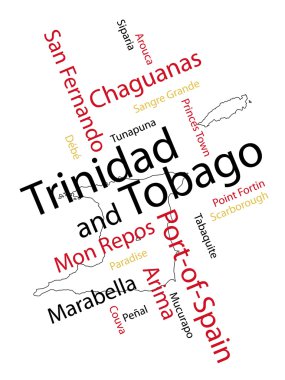
Trinidad and Tobago map and words cloud with larger cities

Dirty Trinidad and Tobago flag background

Caribbean - highly detailed map. Vector illustration

Political map of Carribean. Blue highlighted states and dependent territories. Simple flat vector illustration.

Flag of Trinidad and Tobago - vector illustration

Caribbean -highly detailed map. Vector illustration

Political map of Carribean. Orange highlighted states and dependent territories. Simple flat vector illustration.

Detailed Trinidad and Tobago Map Collection with Outline, Silhouette, Regions, and Flag Overlay Variations

Political map of Carribean. Green highlighted sovereign states and orange dependent territories. Simple flat vector illustration.

3d isometric Map of Trinidad and Tobago with national flag. Vector Illustration.