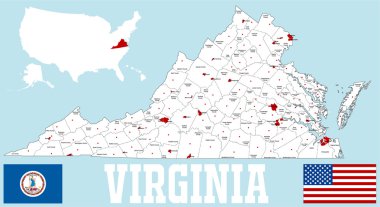
A large and detailed map of the State of Virginia with all counties and county seats.
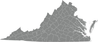
Black highlighted location map of the Williamsburg independent city inside gray administrative map of the Federal State of Virginia, USA

Outline of the state of Virginia over white with inset flag
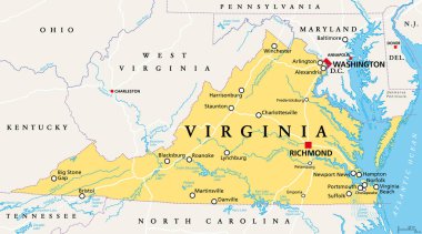
Virginia, VA, political map. Commonwealth of Virginia. State in Southeastern and Mid-Atlantic region of the United States. Capital Richmond. Old Dominion. Mother of Presidents. Illustration. Vector.

The Virginia State map divided in counties with labels, USA

Virginia map high quality vector. American state simple hand made line drawing map

Virginia state outline and silhouette set into a map of The United States of America
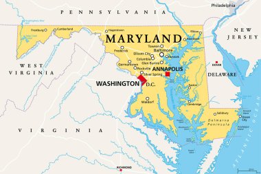
Maryland, MD, political map. State in the Mid-Atlantic region of the United States of America. Capital Annapolis. Old Line State. Free State. Little America. America in Miniature. Illustration. Vector

Map of Virginia in blue colour

Map of Verginia state

Virginia map outline - smooth simplified US state shape map vector.

Map of the U.S. state of West Virginia

Virginia map vector background

Virginia map vector background

Virginia map vector background

West Virginia map vector background

Virginia map. Borders of Virginia for your infographic. Vector us state shape. Vector illustration.

Virginia state map silhouette icon
Virginia Icons

High Quality map of Virginia is a state of United States of America with borders of the counties

Virginia Map Vector Design Template

Virginia state map flat icon with long shadow EPS 10 vector illustration.

Map of the U.S. state of Virginia on a white background

USA states map with names of cities

Shape of Virginia state map with American flag. vector illustration. can use for united states of America indepenence day, nationalism, and patriotism illustration. USA flag design

A large and detailed map of the State of Virginia with all counties and county seats.

Map of The United States of America (USA) State of Virginia - Illustration on White Background.
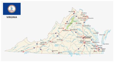
Virginia road map with flag

Accurate map of Virginia

Vintage stamp with text The Old Dominion State written inside and map of Virginia, vector illustration
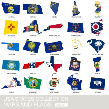
USA state collection, maps and flags, part 2

Virginia State on USA Map. Virginia flag and map. US States.
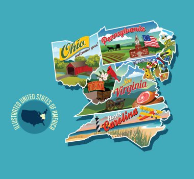
Illustrated pictorial map of eastern United States. Includes Pennsylvania, New Jersey, West Virginia, Virginia, North Carolina, Delaware and Maryland. Vector Illustration.
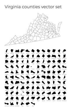
Virginia map with shapes of regions. Blank vector map of the Us State with counties. Borders of the us state for your infographic. Vector illustration.

Virginia high detailed map. Us state silhouette icon. Isolated Virginia black map outline. Vector illustration.

Virginia state map. US state map. Virginia outline symbol. Vector illustration

Virginia map on road sign. Wide poster with Virginia us state map on yellow rhomb road sign. Vector illustration.
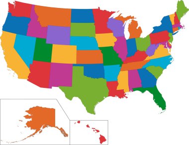
Colorful USA map with states
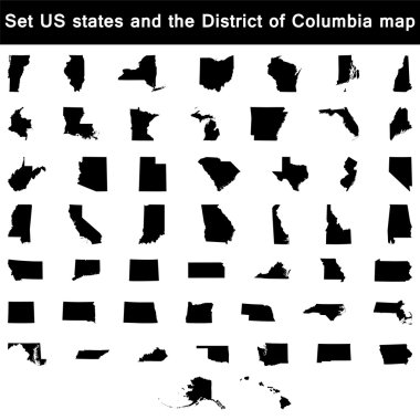
Vector illustration vector illustration set of US states maps

Colorful USA map with states and capital cities
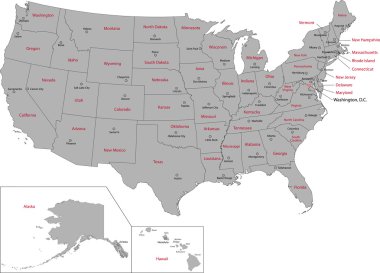
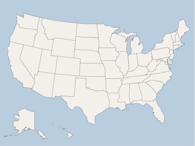
Gray USA map with states and capital cities
Vector map of the united states of america, each state is in seperate layer thus can be edited easily vector map of the united states of america, each state is in seperate layer thus can be edited easily

Colorful USA map with states, and capital cities
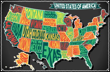
Detailed illustration of a United States of America on Vintage Handwriting BlackBoard
Vector map of the united states of america, each state is in seperate layer thus can be edited easily

West Virginia WV State Border USA Map Outline
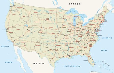
Street map of the united states of america

Very detailed vector file of all fifty states in 3d. Each state is grouped individually and labeled in the layers palette.

Map of The United States of America USA with territories and Islands. Different map variations for your design. Stock Vector illustration isolatedon white background

Colorful USA map

Blue USA map vector

Poster map of United States of America with state names. Black and white print map of USA for t-shirt, poster or geographic themes. Hand-drawn font and black map with states. Vector Illustration

USA map in four versions isolated on white and black background
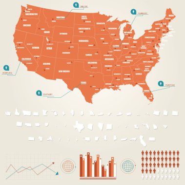
Infographic vector illustration with Map of United States of America

Virginia state map polygonal with spot lights places

Every state is in its own shape.

Richmond Virginia USA City Map in Retro Style. Outline Map. Vector Illustration.

High detailed USA map with federal states. Vector illustration United states of America on blue background.
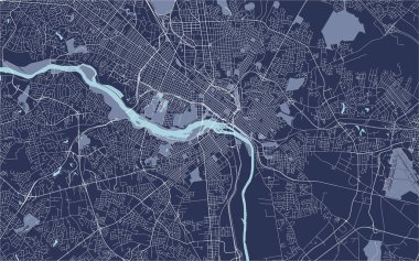
Vector map of the city of Richmond, Virginia, USA
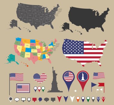
Usa map set and national symbolic

Virginia line art map from colorful curved lines

American color map vector art

Hand drawn vector map of the USA. Blueprint style cartography of United States of America including all the 50 states.

Simple Bright Colors Full Vector Political Map of the United States of America, isolated on White Background

American golden map eps8 vector art

USA map with magnified Virginia State. Virginia flag and map.

USA map vector illustration
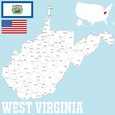
A large and detailed map of the State of West Virginia with all counties and county seats.

West Virginia, WV, political map. State in the Appalachian region of Southern United States of America. Part of Mid-Atlantic Southeast Region. Capital Charleston. Mountain State. Illustration. Vector.

Virginia map on heraldic sign

Map of West Virginia

Virginia blank outline map set

Virginia State in the United States map vector

USA. Poster map of United States of America. Print map of USA for t-shirt, poster. Hand-drawn map in style with linear drawing light rays, sunburst and rays of sun. Vector Illustration

West Virginia, state of USA - solid black outline map of country area. Simple flat vector illustration.

Label with map of West Virginia, vector

Grunge rubber stamp with the name and map of Virginia , vector illustration

Virginia map shape, united states of america. Flat concept icon symbol vector illustration .

Black map of Virginia
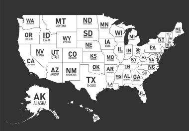
Map of United States of America with state names and abbreviations. Black and white print map of USA. Vector flat style Illustration

Label with map of Virginia, vector

Virginia USA state map vector tag cloud illustration
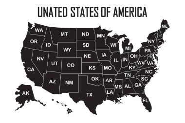
Poster map of United States of America with state names on the white background. Black and white print map of USA for t-shirt, poster or geographic themes. Vector Illustration.
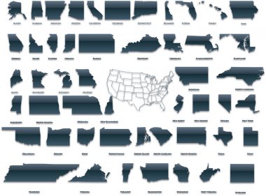
United States of America set in a nice plastic version.

Label sticker cards of State West Virginia USA. Stylized badge with the name of the State, year of creation, the contour maps and the names abbreviations.

Virginia Flag Collection, USA State, 12 versions
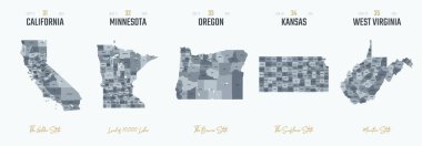
Vector set 7 of 10 Highly detailed silhouettes of US state maps, divided into counties with names and territory nicknames
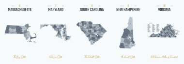
Vector set 2 of 10 Highly detailed silhouettes of US state maps, divided into counties with names and territory nicknames

Map of The United States of America (USA) Divided States Maps Outline Illustration on White Background
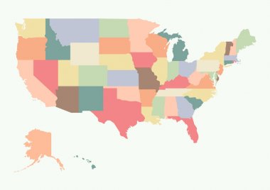
Vintage colorful USA map. Vector illustration

Virginia vector map. High detailed illustration. United state of America country .

Nice USA map isolated on white background

Political map of United States od America, USA. Simple flat vector map in four shades of grey with white state name labels on white background.

USA map with states and capital cities

USA vector linear map. Thin line United States map.

United States Map Old Color. Highly detailed editable political map.

High Quality map of South Atlantic division of United States of America with borders of the states

West Virginia State on USA Map. West Virginia flag and map. US States.

Blank similar USA map isolated on white background. United States of America country. Vector template for website, design, cover, infographics. Graph illustration

United states of America political map with drop shadow on white background