
West Midlands England Map black inverted silhouette

West Midlands county divided in districts with labels, England

West Midlands map, ceremonial county of England. Vector illustration.

Outline vector map of the six metropolitan counties of England, United Kingdom
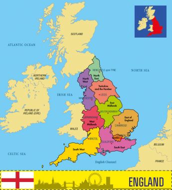
Vector highly detailed political map of England with regions and their capitals. All elements are separated in editable layers clearly labeled. EPS 10

High quality colorful labeled map of England with borders of the counties
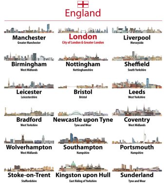
England largest cities vector skylines illustrations in tints of blue color palette. All elements separated in editable and detachable layers. Vector illustration
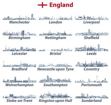
England largest cities vector skylines illustrations in tints of blue color palette. All elements separated in editable and detachable layers. Vector illustration
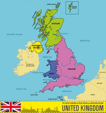
Vector highly detailed political map of The United Kingdom of Great Britain and Northern Ireland with regions and their capitals. All elements are separated in editable layers clearly labeled. EPS 10

Coat of arms of Worcestershire is a county in the West Midlands of England. Vector illustration
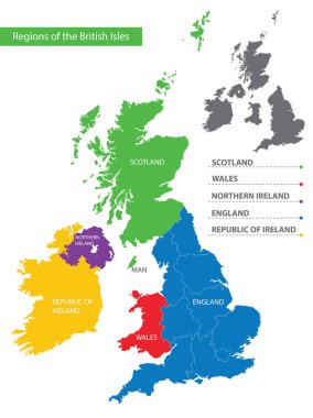
Color detailed map of the regions and countries of the British Isles for your design
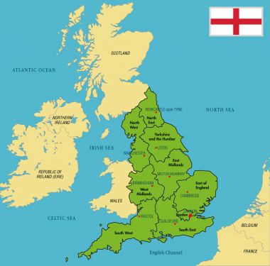
Vector highly detailed political map of England with regions and their capitals. All elements are separated in editable layers clearly labeled. EPS 10

Grunge rubber stamp with Birmingham, England inside
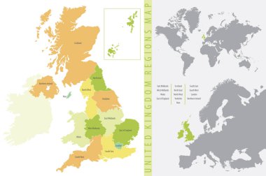
Color vector illustration, United Kingdom Regions Map
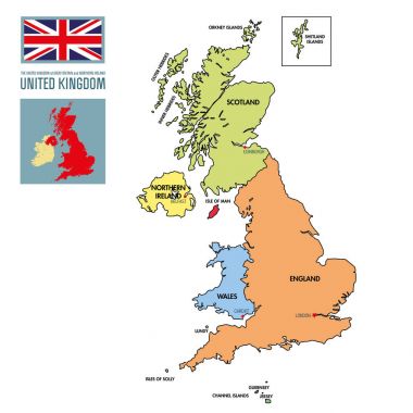
Vector highly detailed political map of The United Kingdom of Great Britain and Northern Ireland with regions and their capitals. All elements are separated in editable layers clearly labeled. EPS 10

Flag of Worcestershire is a county in the West Midlands of England. Vector illustration
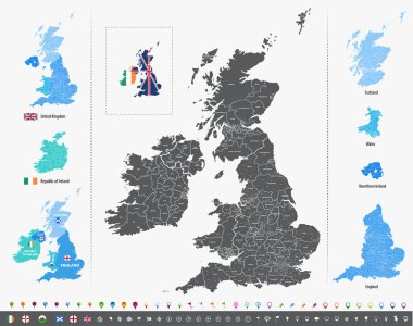
Vector map of British Isles with administrative divisions
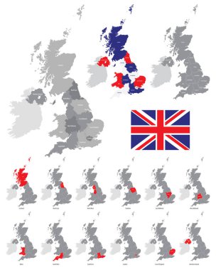
Detailed vector map of the regions of the British Isles, in the color of the British flag
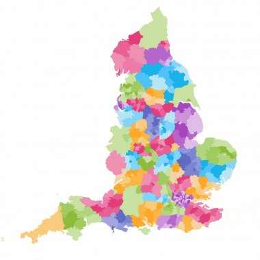
England ceremonial counties and their districts vector map. Each county distinctions between each other by different color palette

Vector map of the city of Coventry, West Midlands, England, UK
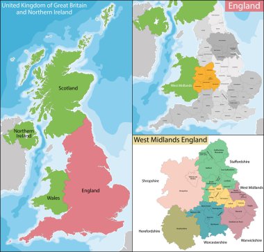
Map of the subdivisions of England with the West Midlands that is one of nine official regions

England, Birmingham, University Of Birmingham, travel landmark line vector illustration

Vector map of the city of Wolverhampton, West Midlands, England, UK
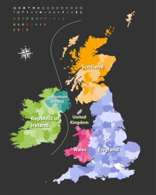
British Isles map colored by countries. Vector
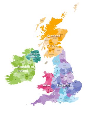
British Isles map colored by countries and regions

Location map of United Kingdom in Europe with administrative divisions, detailed vector illustration
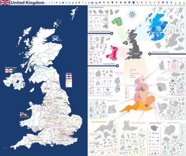
High-detailed administrative units map of United Kingdom. All elements entitled and easy-to-use
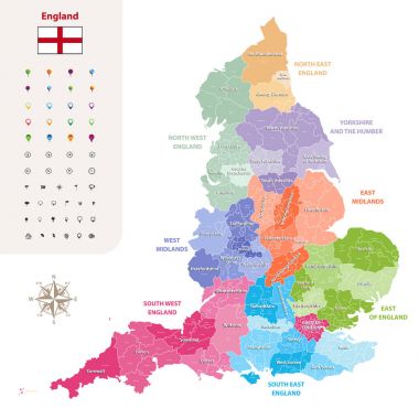
England ceremonial counties vector map colored by regions
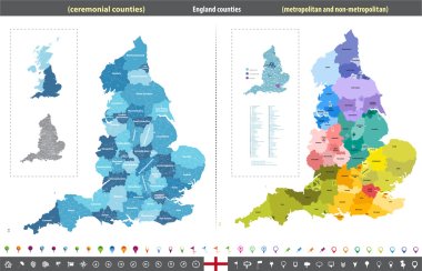
England counties vector map

United Kingdom regions map with administrative divisions and titled each of them. Flags of United Kingdom, Wales, Scotland and Northern Ireland. Location icons and national theme symbols' pictographs

Vector highly detailed political map of The United Kingdom of Great Britain and Northern Ireland with regions and their capitals. All elements are separated in editable layers clearly labeled. EPS 10

Vector map of the city of Wolverhampton, West Midlands, England, UK
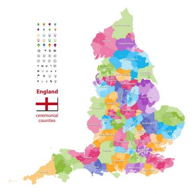
Vector map of England ceremonial counties. Flag of England. Navigation and location icons

West Midlands county administrative map isolated on white background, England
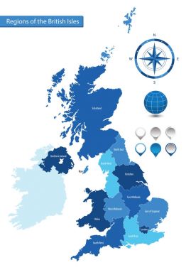
Vector map of the regions of the British Isles

United Kingdom. Great Britan map. Vector map isolated on white background
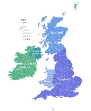
Vector map of British Isles

Leisure barge - cartoon,vector

Leisure barge - cartoon,vector

Leisure barge - cartoon,vector

Leisure barge - cartoon,vector

Print Building view with landmark of Coventry is the city in England. Hand drawn sketch illustration in vector.

Print Building view with landmark of Coventry is the city in England. Hand drawn sketch illustration in vector.

Leisure barge - cartoon,vector

Leisure barge - cartoon,vector

Leisure barge - cartoon,vector
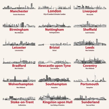
England cities isolated skylines. Vector illustration

Leisure barge - cartoon,vector

Vector map of the city of Birmingham, Wolverhampton, English Midlands, United Kingdom, England

Vector set of England largest cities skylines. Map and flag of England.

England, Birmingham architecture line skyline illustration. Linear vector cityscape with famous landmarks, city sights, design icons. Editable strokes

Vector map of the city of Birmingham, Wolverhampton, English Midlands, United Kingdom, England
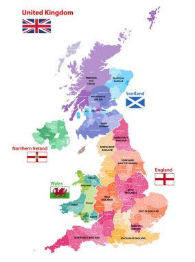
Vector map of United Kingdom colored by countries, counties and regions

Vector map of the city of Birmingham, Wolverhampton, English Midlands, United Kingdom, England

Modern Birmingham City Skyline Design. England

England ceremonial counties vector map colored by regions
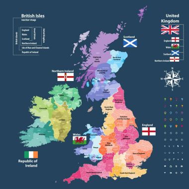
Vector map of British Isles administrative divisions colored by countries and regions. Districts and counties maps and flags of United Kingdom,Northern Ireland, Wales, Scotland and Republic of Ireland

Leisure barge - cartoon,vector