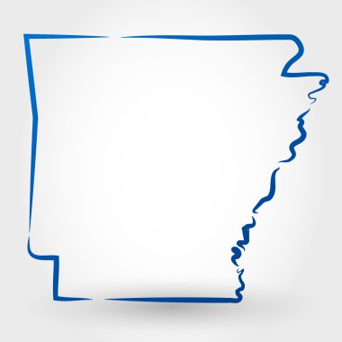
Arkansas blank outline map set

State of Arkansas, USA

Arkansas counties vector map with USA map colors national flag

Arkansas vector maps counties, townships, regions, municipalities, departments, borders

Arkansas map. Blank vector map of the Us State with counties. Borders of Arkansas for your infographic. Vector illustration.

Arkansas map high quality vector. American state simple hand made line drawing map

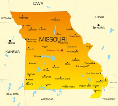
Vector color map of Missouri state. Usa

Independence County, Arkansas (U.S. county, United States of America,USA, U.S., US) map vector illustration, scribble sketch Independence map

Map of the United States cut paper vector illustration

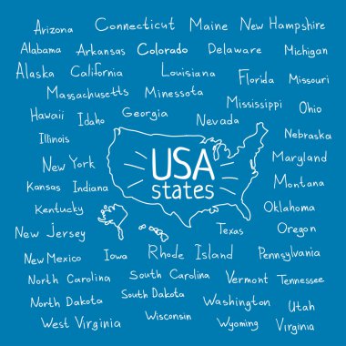
Hand drawn USA map with handwritten state names

Hand drawn USA map with handwritten state names

Map of arkansas. map concept

Hand drawn USA map with handwritten state names

Vector color map of Louisiana state. Usa

Vector color map of Arkansas state. Usa

Arkansas AR state Map USA. Black silhouette solid isolated map on a white background. EPS Vector

Independence (Wisconsin) blank outline map

Ashley (Ohio) blank outline map

Ashley (Pennsylvania) blank outline map

Contour map of the state of Arkansas, USA. Vector graphic illustration on a transparent background with black region borders

Contour map of the state of Arkansas, USA. Vector graphic illustration on a transparent background with black region borders

Woodruff (South Carolina) blank outline map

Garland (Utah) blank outline map

Baxter (Minnesota) blank outline map

Sebastian (Texas) blank outline map

Conway (Pennsylvania) blank outline map

Independence (Minnesota) blank outline map

Drew (Mississippi) blank outline map

Arkansas state map contour. In style of USA flag.

Little River (South Carolina) blank outline map

Baxter (Tennessee) blank outline map