Description:
This SVG vector image represents the geographical boundaries of French Guiana. The design is created in a clean format suitable for various applications, making it perfect for both digital and print use. The vector format ensures scalability without loss of quality, making it suitable for detailed presentations and educational content. The outline style makes it easy to incorporate into maps or infographics. Ideal for cartographers, educators, and students looking to illustrate geographic features, this vector is versatile and accessible. The image features clear lines defining the region's borders, making it easy to identify. Its simple and straightforward design allows for seamless integration into various projects.
Usage ideas:
This French Guiana boundary vector can be effectively utilized in educational contexts, such as geography textbooks, online courses, and interactive maps for schools. Cartographers can use it in detailed maps for tourism or environmental studies. Additionally, businesses in travel or tourism can use this clipart in brochures to highlight regional attractions. Graphic designers can incorporate it into presentations, allowing clearer communication of geopolitical information. It is also suitable for government reports that require official boundary representations. The image can be used in crafting digital content, including websites or apps focused on regional data.

French Guiana blank detailed outline map set - vector version

South America, multi colored political map with international borders and capitals. Continent, bordered by the Pacific and Atlantic Ocean, North America and the Caribbean Sea. Isolated illustration.

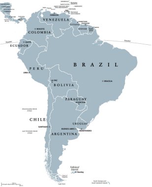
South America, gray political map with international borders and capitals. A continent, bordered by the Pacific and Atlantic Ocean, North America and the Caribbean Sea. Isolated illustration. Vector.

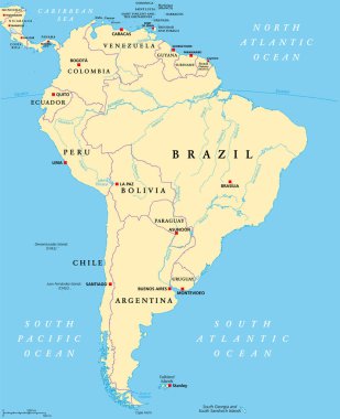
South America, political map with borders, capitals and the largest rivers. A continent, bordered by the Pacific and the Atlantic Ocean, by North America and the Caribbean Sea. Illustration. Vector.