Athos (Greece) blank outline map set

Athos, Attica, Central Greece, Central Macedonia outline maps

Map of Greece with administrative regions. Vector illustration.

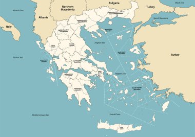
Greece provinces and regions vector map with neighbouring countries and territories

Grey map of Greece with administrative regions. Vector illustration.

Thessaloniki and Chalkidiki, regional units of Greece, gray political map. Thessaloniki, 2nd-largest city in Greece, Chalkidiki, a large penisula in the Aegean Sea, and autonomous Mount Athos region.

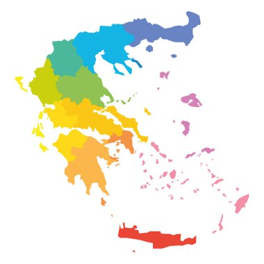
Colorful political map of Greece. Administrative divisions - decentralized administrations. Simple flat vector map with labels.

Colored map of Greece with administrative division, detailed vector illustration

Greece Peninsula Chalkidiki vector map line contour silhouette isolated on white background. Greek territory Halkidiki coast line.

Mount Athos car license plate pattern, Greece, letters, numbers and map, Europe, vector illustration

Colorful political map of Greece. Administrative divisions - decentralized administrations. Simple flat blank vector map.

Grey political map of Greece. Administrative divisions - decentralized administrations. Simple flat blank vector map with labels.

Greece political map of administrative divisions - decentralized administrations and autonomous monastic state of Mount Athos. Grey blank vector editable map EPS.