Description:
This Guanajuato map vector SVG presents a detailed illustration of the geographical layout of Guanajuato, Mexico. The format is SVG, allowing for scalability without loss of quality. The design features clean lines and an outline style, making it versatile for various applications. It's suitable for both digital use and printing on different surfaces. The vector format ensures seamless integration into any design project. This illustration can be adapted for numerous purposes, from educational resources to commercial branding.
Usage ideas:
This Guanajuato map vector can be utilized in numerous contexts, such as creating informative presentations for schools or enhancing travel brochures for local tourism. Graphic designers can incorporate it into web layouts or promotional materials for events in Guanajuato. Businesses focusing on regional products can use the map in packaging designs or social media posts to highlight local culture. Additionally, it’s suitable for educational apps aiming to teach geography or local history, making it a versatile asset in both commercial and educational sectors.
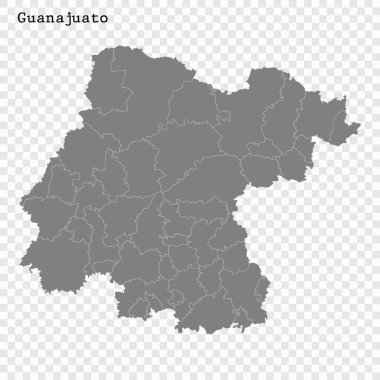
High Quality map of Guanajuato is a state of Mexico, with borders of the municipalities

Travel and tourism background
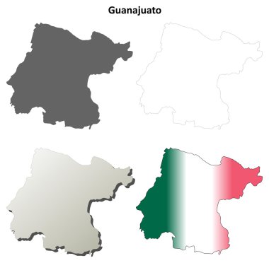
Guanajuato blank outline map set
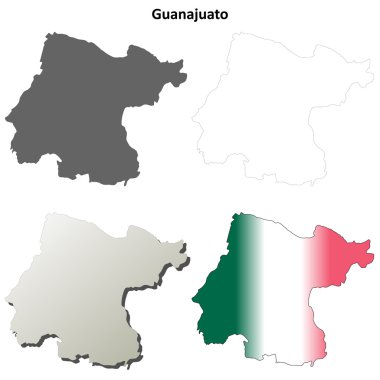
Guanajuato state blank vector outline map set

Guanajuato state blank contour map

Guanajuato state blank outline map set
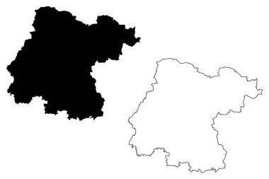
Guanajuato (United Mexican States, Mexico, federal republic) map vector illustration, scribble sketch Free and Sovereign State of Guanajuato map
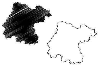
Guanajuato (United Mexican States, Mexico, federal republic) map vector illustration, scribble sketch Free and Sovereign State of Guanajuato map
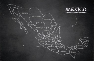
Mexico map, new political detailed map, separate individual states, with state names, card blackboard school chalkboard vector

A gray map of Mexico divided into provinces
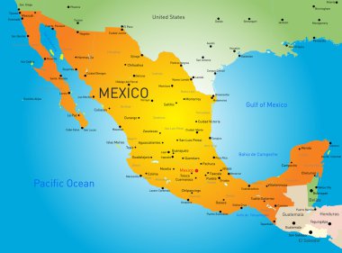
Abstract vector color map of Mexico country
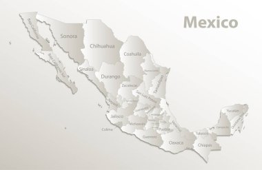
Mexico map, new political detailed map, separate individual states, with state names, card paper 3D natural vector
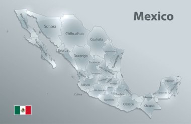
Mexico map flag, new political detailed map, separate individual states, with state names, glass card 3D state names, isolated on white background 3D vector
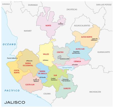
Jalisco, administrative and political vector map, mexico