Chester County, Pennsylvania blank outline map set

Chester Gap (Virginia) blank outline map

Chester (New York) blank outline map

Chester Heights (Pennsylvania) blank outline map

Chester (Washington) blank outline map

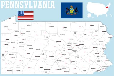
A large and detailed map of the State of Pennsylvania with all counties and county seats.

A large and detailed map of the State of Pennsylvania with all counties and county seats.

Pennsylvania, U.S. state, subdivided into 67 counties, multi colored political map with capital Harrisburg, and borders. State of the Mid-Atlantic and Northeastern USA, with nickname Keystone State.

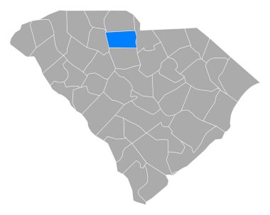
Map of Chester in South Carolina

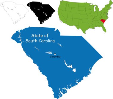
Illustration of State of South Carolina, USA

Outline and silhouette map of United Kingdom - vector illustration hand drawn with black lines, isolated on white background

Chester (West Virginia) blank outline map

Newton (New Jersey) blank outline map

Chester (South Carolina) blank outline map

Chester (Vermont) blank outline map

Central Bedfordshire, Cheshire East, Cheshire West and Chester, Cornwall outline maps