10 FREE IMAGES of ShutterstockTry Shutterstock and Get 10 Free Images

map of north rhine westphalia SVG, Vector And Clipart Images

() map of north rhine westphalia SVG Vectors and Transparent background map of north rhine westphalia ClipArts. All Download the royalty free graphic in the form of SVG, PNG, EPS, AI or PSD.

Description:

This SVG vector image illustrates a detailed map of North Rhine-Westphalia, showcasing its distinct regions and major cities. The design is presented in a clean and scalable SVG format, allowing users to resize without loss of quality. The map features clear outlines for each area, making it suitable for a variety of applications. The minimalist style assists in focusing on geographical features without unnecessary distractions. It can be integrated into various projects that require geographic representation or site planning.

Usage ideas:

This map vector can be utilized in several commercial and educational contexts. It can serve as an engaging visual aid in presentations about regional development, tourism marketing materials, or educational resources for students studying geography. Designers can incorporate this map in mobile applications, websites focusing on travel, or even in local government brochures. Additionally, it can be used in reports discussing demographics or infrastructure, enhancing the visual appeal and clarity of the data being presented.

High Quality map of North Rhine Westphalia is a state of Germany, with borders of the districts clipart svg vector

High Quality map of North Rhine Westphalia is a state of Germany, with borders of the districts
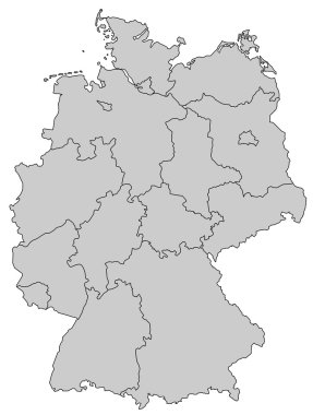
Germany Map - Provinces gray clipart svg vector
Germany Map - Provinces gray

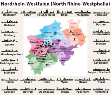
Germany state North Rhine-Westphalia high detailed vector map with largest cities skylines silhouettes clipart svg vector

Germany state North Rhine-Westphalia high detailed vector map with largest cities skylines silhouettes
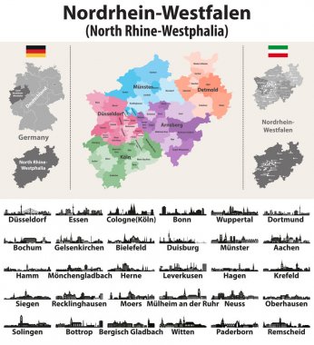
Germany state North Rhine-Westphalia high detailed vector map with largest cities skylines silhouettes clipart svg vector

Germany state North Rhine-Westphalia high detailed vector map with largest cities skylines silhouettes
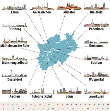
Vector map of Germany state Norrth Rhine-Westphalia with largest cities skylines clipart svg vector
Vector map of Germany state Norrth Rhine-Westphalia with largest cities skylines

Krefeld, Germany printable street map in classic style colors with all relevant motorways, roads and railways. Use this map for any kind of digital info graphics and print publication. clipart svg vector

Krefeld, Germany printable street map in classic style colors with all relevant motorways, roads and railways. Use this map for any kind of digital info graphics and print publication.

Dortmund, Germany printable street map in classic style colors with all relevant motorways, roads and railways. Use this map for any kind of digital info graphics and print publication. clipart svg vector

Dortmund, Germany printable street map in classic style colors with all relevant motorways, roads and railways. Use this map for any kind of digital info graphics and print publication.
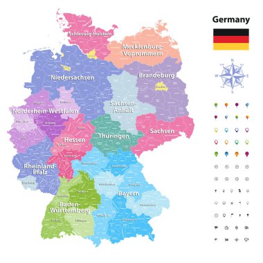
Germany vector map (colored by states and administrative districts) with subdivisions. clipart svg vector

Germany vector map (colored by states and administrative districts) with subdivisions.

Vector color detailed map of Germany with administrative divisions of the country, each federal states is presented separately in highly detailed and divided into regions clipart svg vector

Vector color detailed map of Germany with administrative divisions of the country, each federal states is presented separately in highly detailed and divided into regions

Vector illustration of Germany state's North Rhine-Westphlia map with largest cities skylines clipart svg vector

Vector illustration of Germany state's North Rhine-Westphlia map with largest cities skylines

Map of Germany with all Federal States clipart svg vector
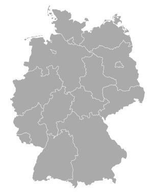
Map of Germany with all Federal States

Map of Germany clipart svg vector

Map of Germany

Germany map with state capitals cities skylines vector illustration. All layers are labelled, editable and well organized clipart svg vector

Germany map with state capitals cities skylines vector illustration. All layers are labelled, editable and well organized

Map of Germany clipart svg vector
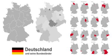
Map of Germany

West european country germany and the federal states clipart svg vector

West european country germany and the federal states

Vector map of the city of Duisburg, Germany clipart svg vector
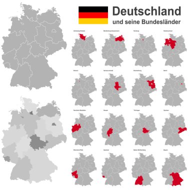
Vector map of the city of Duisburg, Germany

European country germany and the federal states clipart svg vector

European country germany and the federal states

Germany map (colored by states and administrative districts) with subdivisions clipart svg vector
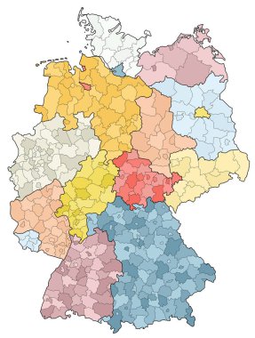
Germany map (colored by states and administrative districts) with subdivisions

West european country germany and the federal states clipart svg vector

West european country germany and the federal states

Simple overview map of North Rhine-Westphalia, Germany clipart svg vector
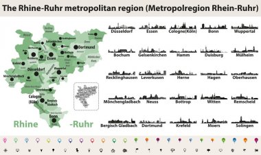
Simple overview map of North Rhine-Westphalia, Germany

Rhine-Ruhr metropolitam area vector map with largest cities skylines silhouettes clipart svg vector

Rhine-Ruhr metropolitam area vector map with largest cities skylines silhouettes

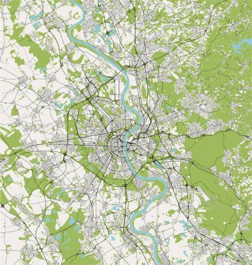
Vector map of the city of Cologne, Koln, North Rhine-Westphalia, Germany clipart svg vector

Vector map of the city of Cologne, Koln, North Rhine-Westphalia, Germany

Vector map of the city of Cologne, Koln, North Rhine-Westphalia, Germany clipart svg vector
Vector map of the city of Cologne, Koln, North Rhine-Westphalia, Germany

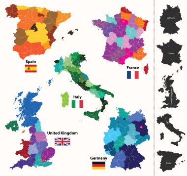
Federal states of Germany map with administrative districts and subdivisions clipart svg vector

Federal states of Germany map with administrative districts and subdivisions

High detailed colored political map of Europe with countries' regions. Vector clipart svg vector

High detailed colored political map of Europe with countries' regions. Vector

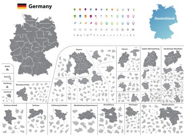
Administrative and political map of Germany newly revised 2019 in black and white clipart svg vector
Administrative and political map of Germany newly revised 2019 in black and white

European regions map clipart svg vector
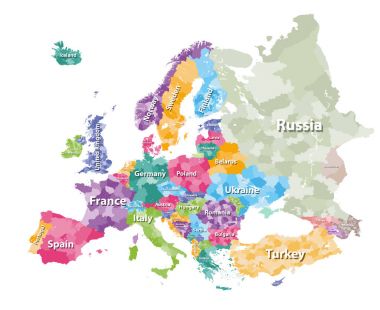
European regions map

Colored political map of Europe with countries' regions. Vector illustration clipart svg vector
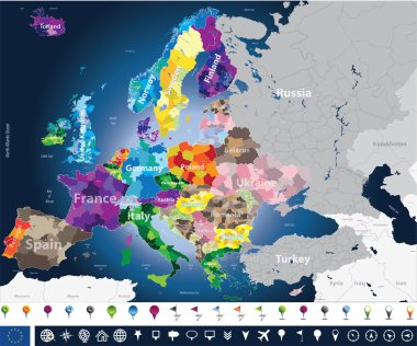
Colored political map of Europe with countries' regions. Vector illustration

High detailed Europe map with coutries names and region borders clipart svg vector

High detailed Europe map with coutries names and region borders

Vector map of the largest German metropolitan region, the Ruhr area clipart svg vector
Vector map of the largest German metropolitan region, the Ruhr area

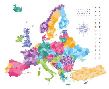
Europe map colored by countries with regions borders. Navigation, location and travel icons collection. clipart svg vector

Europe map colored by countries with regions borders. Navigation, location and travel icons collection.

Germany vector map with flag, globe and icons on white background clipart svg vector
Germany vector map with flag, globe and icons on white background

Vector map of the city of Cologne, Koln, North Rhine-Westphalia, Germany clipart svg vector

Vector map of the city of Cologne, Koln, North Rhine-Westphalia, Germany

3d isometric Map of North Rhine-Westphalia is a state of Germany with national flag clipart svg vector

3d isometric Map of North Rhine-Westphalia is a state of Germany with national flag

Printable map of Oberhausen, Germany with main and secondary roads and larger railways. This map is carefully designed for routing and placing individual data. clipart svg vector

Printable map of Oberhausen, Germany with main and secondary roads and larger railways. This map is carefully designed for routing and placing individual data.

Flag in map of North Rhine-Westphalia clipart svg vector
Flag in map of North Rhine-Westphalia

Herne, Germany printable street map in classic style colors with all relevant motorways, roads and railways. Use this map for any kind of digital info graphics and print publication. clipart svg vector

Herne, Germany printable street map in classic style colors with all relevant motorways, roads and railways. Use this map for any kind of digital info graphics and print publication.

Vector map of the city of Bonn, Germany, North Rhine-Westphalia, Cologne clipart svg vector
Vector map of the city of Bonn, Germany, North Rhine-Westphalia, Cologne

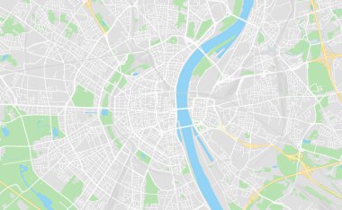
Cologne, Germany printable street map in classic style colors with all relevant motorways, roads and railways. Use this map for any kind of digital info graphics and print publication. clipart svg vector

Cologne, Germany printable street map in classic style colors with all relevant motorways, roads and railways. Use this map for any kind of digital info graphics and print publication.
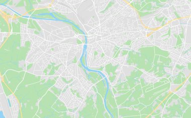
Mulheim, Germany printable street map in classic style colors with all relevant motorways, roads and railways. Use this map for any kind of digital info graphics and print publication. clipart svg vector

Mulheim, Germany printable street map in classic style colors with all relevant motorways, roads and railways. Use this map for any kind of digital info graphics and print publication.
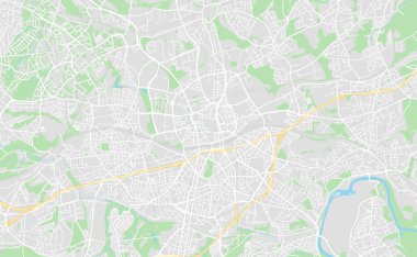
Essen, Germany printable street map in classic style colors with all relevant motorways, roads and railways. Use this map for any kind of digital info graphics and print publication. clipart svg vector

Essen, Germany printable street map in classic style colors with all relevant motorways, roads and railways. Use this map for any kind of digital info graphics and print publication.

Vector map of the city of Cologne, Koln, North Rhine-Westphalia, Germany clipart svg vector

Vector map of the city of Cologne, Koln, North Rhine-Westphalia, Germany

Vector map of the city of Cologne, Koln, North Rhine-Westphalia, Germany clipart svg vector

Vector map of the city of Cologne, Koln, North Rhine-Westphalia, Germany

Oberhausen, Germany printable street map in classic style colors with all relevant motorways, roads and railways. Use this map for any kind of digital info graphics and print publication. clipart svg vector

Oberhausen, Germany printable street map in classic style colors with all relevant motorways, roads and railways. Use this map for any kind of digital info graphics and print publication.

Vector map of the city of Duisburg, Germany clipart svg vector

Vector map of the city of Duisburg, Germany

Map of Europe colored by countries with regions borders. Flags of all european countries. Navigation, location and travel icons. All elements separated in labeled and detached layers. Vector clipart svg vector

Map of Europe colored by countries with regions borders. Flags of all european countries. Navigation, location and travel icons. All elements separated in labeled and detached layers. Vector

Europe map colored by countries with regions borders. Navigation, location and travel icons collection. All elements separated in labeled and detachable layers. Vector clipart svg vector

Europe map colored by countries with regions borders. Navigation, location and travel icons collection. All elements separated in labeled and detachable layers. Vector
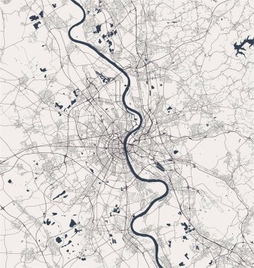
Vector map of the city of Cologne, Koln, North Rhine-Westphalia, Germany clipart svg vector

Vector map of the city of Cologne, Koln, North Rhine-Westphalia, Germany

West european country germany and the federal states clipart svg vector

West european country germany and the federal states

Political map of Germany with all states where North Rhine-Westphalia (Nordrhein-Westfalen) is pulled out clipart svg vector

Political map of Germany with all states where North Rhine-Westphalia (Nordrhein-Westfalen) is pulled out
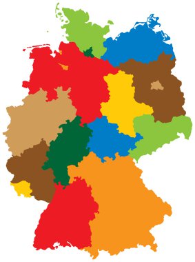
Germany divided into 16 states clipart svg vector
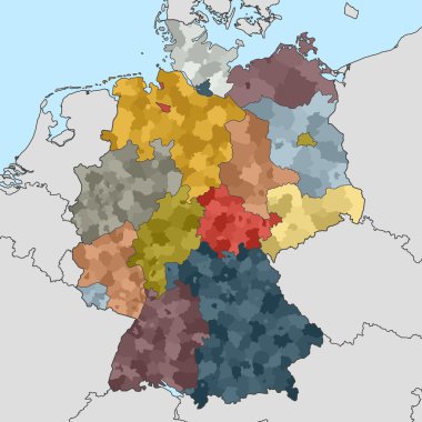
Germany divided into 16 states

Colored map of Germany with neighboring countries clipart svg vector

Colored map of Germany with neighboring countries

Map of Germany clipart svg vector

Map of Germany

Map of Germany clipart svg vector

Map of Germany

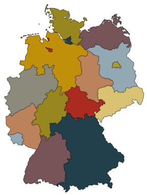
Map of germany with all provinces in different colors clipart svg vector
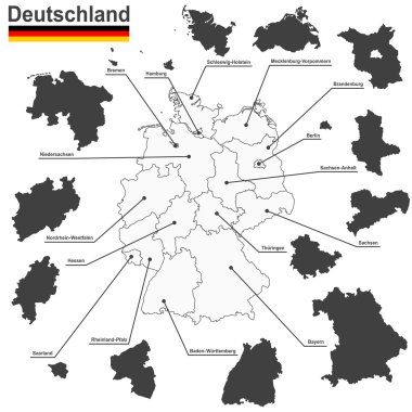
Map of germany with all provinces in different colors

European country germany and the federal states clipart svg vector

European country germany and the federal states

This vector map of the German State of North Rhine - Westphalia includes 6 editable layers for each of the 5 administrative levels (municipalities, subdistricts, districts, provinces, and state) and the background clipart svg vector

This vector map of the German State of North Rhine - Westphalia includes 6 editable layers for each of the 5 administrative levels (municipalities, subdistricts, districts, provinces, and state) and the background

A simple 3D map of North Rhine-Westphalia. clipart svg vector
A simple 3D map of North Rhine-Westphalia.

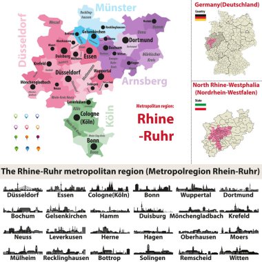
The Rhine-Ruhr metropolitan region vector map with largest cities skylines silhouettes clipart svg vector

The Rhine-Ruhr metropolitan region vector map with largest cities skylines silhouettes

Administrative vector map of the Detmold region in German language, North Rhine-Westphalia, Germany clipart svg vector

Administrative vector map of the Detmold region in German language, North Rhine-Westphalia, Germany

Administrative and political map of Aachen region in German language clipart svg vector

Administrative and political map of Aachen region in German language

Map of Germany clipart svg vector
Map of Germany

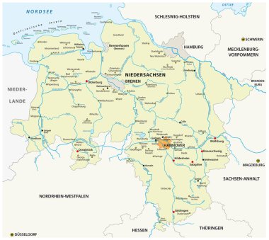
Vector map of the state of Lower Saxony in german language, Germany clipart svg vector

Vector map of the state of Lower Saxony in german language, Germany

Location of North Rhine-Westphalia on map Federal Republic of Germany. 3d North Rhine-Westphalia location sign similar to the flag of North Rhine-Westphalia. Quality map of Germany. EPS10. clipart svg vector

Location of North Rhine-Westphalia on map Federal Republic of Germany. 3d North Rhine-Westphalia location sign similar to the flag of North Rhine-Westphalia. Quality map of Germany. EPS10.

Map of Germany clipart svg vector
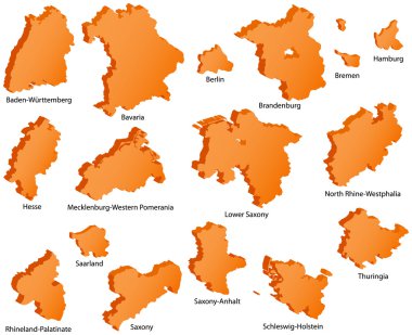
Map of Germany

German States Icons clipart svg vector

German States Icons

Vector administrative map of Federal Republic of Germany with the flags of the federal states clipart svg vector

Vector administrative map of Federal Republic of Germany with the flags of the federal states

Map and flag of Germany clipart svg vector

Map and flag of Germany

Map of North Rhine Westphalia is a state Germany with flag. Vector Illustration clipart svg vector
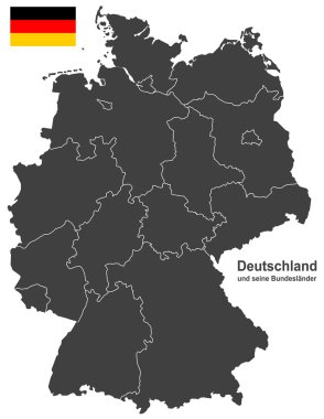
Map of North Rhine Westphalia is a state Germany with flag. Vector Illustration

European country germany and the federal states clipart svg vector

European country germany and the federal states

North Rhine-Westphalia outline map isolated on white background, Germany clipart svg vector

North Rhine-Westphalia outline map isolated on white background, Germany

Map Germany clipart svg vector

Map Germany

Black and white map of Germany clipart svg vector

Black and white map of Germany

Map of North Rhine-Westphalia with main cities in green clipart svg vector

Map of North Rhine-Westphalia with main cities in green

Map of North Rhine-Westphalia with borders in violet clipart svg vector

Map of North Rhine-Westphalia with borders in violet

Map of North Rhine-Westphalia with borders in chrome clipart svg vector
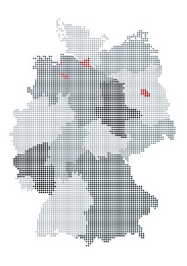
Map of North Rhine-Westphalia with borders in chrome

German map raster, the counties or states are grouped clipart svg vector
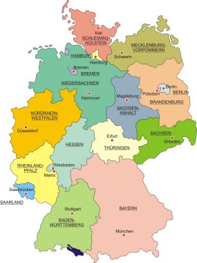
German map raster, the counties or states are grouped

Map of Germany with national boundaries and national capitals clipart svg vector

Map of Germany with national boundaries and national capitals

Printable map of Rheine, Germany with main and secondary roads and larger railways. This map is carefully designed for routing and placing individual data. clipart svg vector

Printable map of Rheine, Germany with main and secondary roads and larger railways. This map is carefully designed for routing and placing individual data.

Vector map of the city of Cologne, Koln, North Rhine-Westphalia, Germany clipart svg vector

Vector map of the city of Cologne, Koln, North Rhine-Westphalia, Germany

Vector map of the city of Gelsenkirchen, Germany clipart svg vector
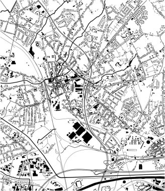
Vector map of the city of Gelsenkirchen, Germany

Vector map of the city of Oberhausen, Germany clipart svg vector

Vector map of the city of Oberhausen, Germany

Polygonal mesh map of North Rhine-Westphalia State in high detail resolution. Mesh lines, triangles and dots form map of North Rhine-Westphalia State. clipart svg vector

Polygonal mesh map of North Rhine-Westphalia State in high detail resolution. Mesh lines, triangles and dots form map of North Rhine-Westphalia State.

Vector set of Germany map with state capitals cities skylines. All layers are labelled and well organized clipart svg vector

Vector set of Germany map with state capitals cities skylines. All layers are labelled and well organized

Political map of Germany with all states clipart svg vector

Political map of Germany with all states

Map of germany. High detailed vector map - germany. clipart svg vector

Map of germany. High detailed vector map - germany.

Vector map of German states with cites (DE) on white background. A small scale contour map of Germany projected in WGS 84 World Mercator made with Natural Earth free data (public domain). All elements are separated in editable layers clearly labeled. clipart svg vector

Vector map of German states with cites (DE) on white background. A small scale contour map of Germany projected in WGS 84 World Mercator made with Natural Earth free data (public domain). All elements are separated in editable layers clearly labeled.
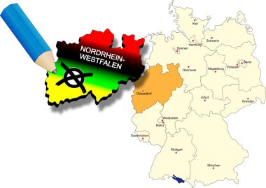
Germany North Rhine-Westphalia state election 9th May 2010. state dyed in the colors of the most important parties clipart svg vector

Germany North Rhine-Westphalia state election 9th May 2010. state dyed in the colors of the most important parties
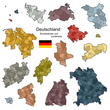
Provinces and districts of Germany clipart svg vector

Provinces and districts of Germany

Vector map of German states on white background. A small scale contour map of Germany projected in WGS 84 World Mercator made with Natural Earth free data (public domain). All elements are separated in editable layers clearly labeled. clipart svg vector

Vector map of German states on white background. A small scale contour map of Germany projected in WGS 84 World Mercator made with Natural Earth free data (public domain). All elements are separated in editable layers clearly labeled.

Vector map of German states with cites on white background. A small scale contour map of Germany projected in WGS 84 World Mercator made with Natural Earth free data (public domain). All elements are separated in editable layers clearly labeled. clipart svg vector

Vector map of German states with cites on white background. A small scale contour map of Germany projected in WGS 84 World Mercator made with Natural Earth free data (public domain). All elements are separated in editable layers clearly labeled.

Map of North Rhine-Westphalia with borders in gray clipart svg vector
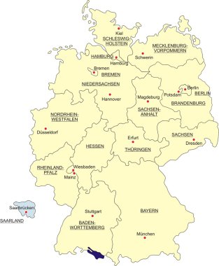
Map of North Rhine-Westphalia with borders in gray

Map of Germany, national boundaries and national capitals. State of Saarland cut out and separated clipart svg vector

Map of Germany, national boundaries and national capitals. State of Saarland cut out and separated
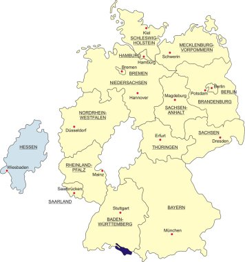
Map of Germany, national boundaries and national capitals. State of Hesse cut out and separated clipart svg vector
Map of Germany, national boundaries and national capitals. State of Hesse cut out and separated

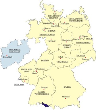
Map of Germany, national boundaries and national capitals. State of North Rhine-Westphalia cut out and separated clipart svg vector

Map of Germany, national boundaries and national capitals. State of North Rhine-Westphalia cut out and separated

Map of Rhein-Kreis-Neuss as sticky note in blue clipart svg vector
Map of Rhein-Kreis-Neuss as sticky note in blue

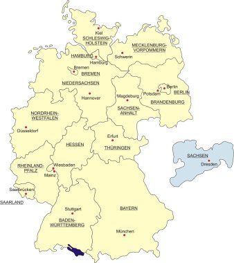
Map of Germany, national boundaries and national capitals. State of Saxony cut out and separated clipart svg vector
Map of Germany, national boundaries and national capitals. State of Saxony cut out and separated

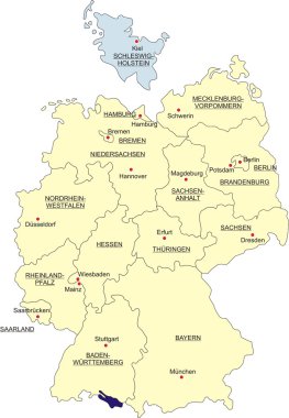
Map of Germany, national boundaries and national capitals. State of Schleswig-Holstein cut out and separated clipart svg vector

Map of Germany, national boundaries and national capitals. State of Schleswig-Holstein cut out and separated
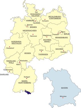
Map of Germany, national boundaries and national capitals. State of Bavaria cut out and separated clipart svg vector

Map of Germany, national boundaries and national capitals. State of Bavaria cut out and separated
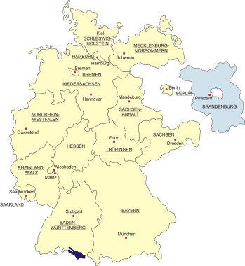
Map of Germany, national boundaries and national capitals. State of Brandenburg cut out and separated clipart svg vector

Map of Germany, national boundaries and national capitals. State of Brandenburg cut out and separated