Description:
This North Sinai SVG vector illustrates the geographical boundaries and key features of North Sinai, a region located in Egypt. The design is provided in a scalable SVG format, allowing easy resizing without loss of quality. The vector emphasizes clear lines and distinct features, making it suitable for both digital and print applications. Suitable for use in educational resources, travel guides, or geographical analyses, this illustration provides an accurate representation of the area. This SVG is versatile and aligns with various design styles, ensuring compatibility with multiple projects.
Usage ideas:
The North Sinai SVG vector can be effectively utilized in creating educational presentations focused on geography and history. It can serve as a base map for travel brochures aimed at tourists interested in exploring the region. Additionally, this vector can be employed in digital applications, like interactive maps for apps or websites that educate users about North Sinai's heritage. Businesses producing merchandise revealing regional pride can also incorporate this SVG in their designs, such as T-shirts or posters highlighting the area.
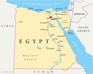
Map of Egypt with national borders, cities rivers and lakes.
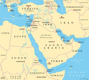
The Middle East, political map with capitals and international borders. Geopolitical region encompassing the Arabian Peninsula, the Levant, Turkey, Egypt, Iran and Iraq. Formerly called Near East.
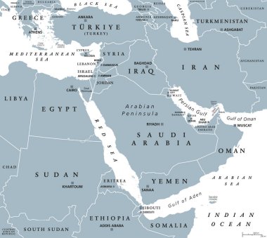
The Middle East, gray political map with capitals and international borders. Geopolitical region encompassing the Arabian Peninsula, the Levant, Turkey, Egypt, Iran and Iraq. Also called Near East.
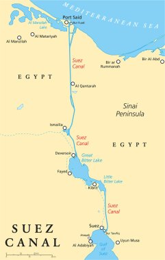
Suez Canal Political Map. Artificial sea-level waterway in Egypt, connecting the Mediterranean Sea and the Red Sea. English labeling and scaling. Illustration.
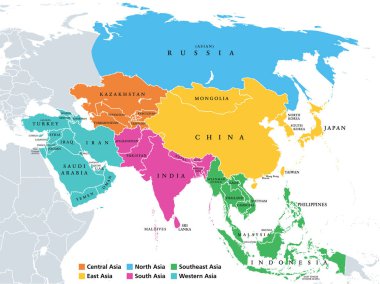
Main regions of Asia. Political map with single countries. Colored subregions of the Asian continent. Central, East, North, South, Southeast and Western Asia. English labeled. Illustration. Vector.

Continent Asia, political map with colored single states and countries. With the Asian part of Russia and Turkey and Sinai Peninsula as African part. English labeling. Illustration over white. Vector.

Political color map of Asia with borders of the states.

Ancient Egypt map with important sights, Sinai peninsula, Nile river and delta. Northeastern Africa. Kush, Upper and Lower Egypt and capitals Memphis and Thebes. English labeling. Illustration. Vector

Egyptian flag in the shape of a circle. July 23 - Revolution Day in Egypt. Vector illustration on a white background. Brush strokes are drawn by hand.

Egyptian flag in the shape of a big circle. Vector illustration on a white background. Brush strokes are drawn by hand. Revolution Day in Egypt.
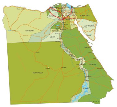
Highly detailed editable political map with separated layers. Egypt.

Vector pattern

Europe, Middle East, and North Africa, political map with international borders. Overview of the continent Europe, the geopolitical region Middle East, and northern portion of the African continent.