Vector map of japan

Miyagi prefecture blank outline map set

Kumamoto, Kyoto, Mie, Miyagi outline maps

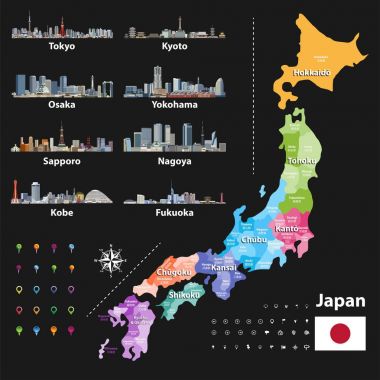
Vector illustration of Japanese flag and prefectures map colored by regions. Largest city skylines, navigation, location, and travel icons

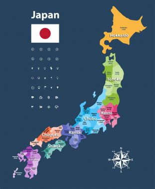
Japan prefectures (japanese names gives in parentheses) vector map colored be regions with neighbouring countries and territories

Japan prefectures vector map colored be regions. Japanese names gives in parentheses. Flag of Japan

Hand drawing town MIYAGI Japan in Spring

Miyagi map, Japan, Asia. Filled and outline map designs. Vector illustration

Miyagi flag, Japan prefecture. Vector illustration

Miyagi Japan Map Silhouette Icon

Miyagi prefecture blank contour map

Tohoku, region of Japan, gray political map. Also known as Northeast region, Ou region, or Northeast Japan, consisting of the six prefectures Akita, Aomori, Fukushima, Iwate, Miyagi, and Yamagata.

Tohoku, region of Japan, political map. Also known as Northeast region, Ou region, or Northeast Japan, consisting of the six prefectures Akita, Aomori, Fukushima, Iwate, Miyagi, and Yamagata. Vector