
Illustration of italy province and region maps

Molise blank detailed outline map set

Molise region blank outline map set

Molise, Piedmont, Sardinia, Sicily outline maps

Molise map contour vector illustration, Italy province, isolated on white background.

Molise Italy region, european travel plate sign. Italian region plaque with territory flag and coat of arms symbol, region map silhouette. Abruzzi e Molise region of Southern Italy

Illustration of italy province and region maps

Illustration set of italy province and region maps

The grayscale map of Tuscany region with labels on white background

Tuscany regions map with labels isolated on white background

Illustration set of italy province and region maps

The black and white maps of Italy regions
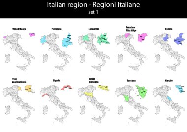
Illustration set of italy province and region maps

Molise administrative and political map with flag, Italy

Map of Italy

Southern Italy, known as Meridione or Mezzogiorno, political map. Macroregion of Italy consisting of its southern regions Abruzzo, Apulia, Basilicata, Calabria, Campania, Molise, Sardinia, and Sicily.

The detailed map of the Italy with regions or states and cities, capital

Italy map of regions and provinces names in sketch lettering. Vector Italian flag of Sicily peninsula, Sardinia island or Venice Piemonte, Lombardia or Genoa and Alto Adige, Trentino and Toscana
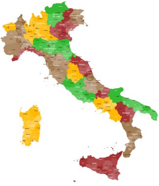
A detailed, colorful map of Italy with all provinces and big cities.

High quality colorful labeled map of Italy with borders of the regions

Map of Italy

Map of Italy

Illustration of italy city maps
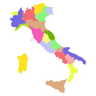
Italy map isolated on a white background. Vector illustration.

The detailed map of the Italy with regions

Colorful map of Italy vector silhouette illustration isolated on white background. Autonomous communities of Italy. Detailed Italian regions administrative divisions, separated provinces. outline map.

Illustration of italy province and region maps

Illustration of italy province and region maps om chalkboard

Map of Italy

A large administrative map of Italy with all provinces and communes.

Map of Italy

Map of Italia. hand drawn illustration. 20 regions.

Illustration of italy province and region maps

Illustration of italy province and region maps om chalkboard

Map of Italy

Map of Italy
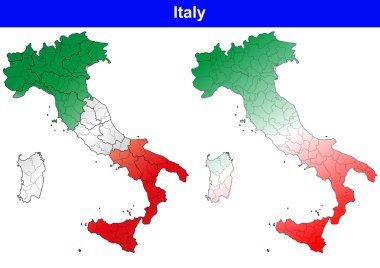
Illustration of italy province and region maps

Map of Italy

Map of Italy
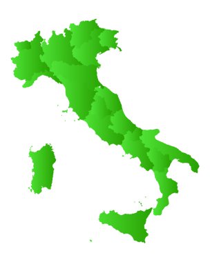
Map of Italy

Map of Italy

Illustration of italy province and region maps
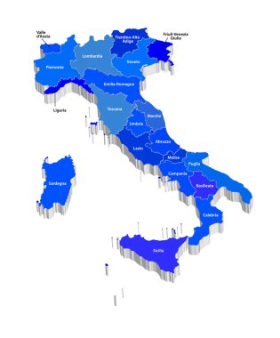
Vector map of Italy
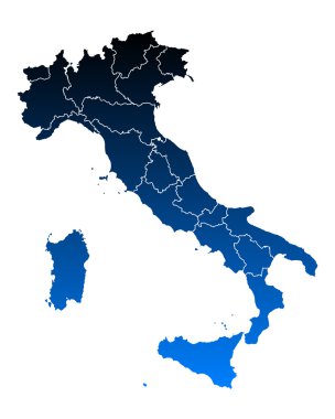
Map of Italy

Vector map of Italy province gray color

Illustration of italy province and region maps
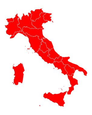
Map of Italy

Map of Italy

Map of Italy

Map of Italy

Map of Italy

The gray map of Italy regions with labels

Map and flag of Italy
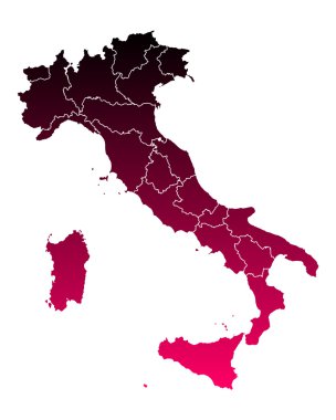
Map of Italy

The detailed map of the Italy with regions or states and cities, capital. With sea objects and islands. And parts of neighboring countries

Molise outline map isolated on white background, Italy

Map of the southern Italian region of Campania

Italy, round icons of the flags of the regions of the Italian Republic on the map, vector illustration

Map of the southern Italian region of Apulia

Map of the southern Italian region of Abruzzo