Sehore District Map Highlighted on Madhya Pradesh State Map

Jhabua District Map Highlighted on Madhya Pradesh State Map

Ratlam District Map Highlighted on Madhya Pradesh State Map

High Quality map of Madhya Pradesh is a state of India

Map of India - highly detailed vector illustration

India map - highly detailed vector illustration

A High Detail vector Map of the Republic of India Federation states and Union Territories and major cities, with a 3D vector Globe centered on India

Network polygonal and solid map of Madhya Pradesh State. Vector model is created from map of Madhya Pradesh State with red stars. Abstract lines and stars form map of Madhya Pradesh State.

Madhya Pradesh State map designed with little dots. Vector abstraction in black color is isolated on a white background. Random small dots are organized into Madhya Pradesh State map.

India Political Map | High detailed and accurate shapes. states in separate named sublayers - Vector Essentials

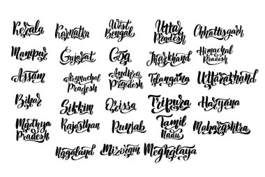
States of India. Handwritten stock lettering set ink typography. Calligraphy for logotype badge icon card postcard logo, banner, tag. Vector illustration EPS10.

Madhya blank detailed outline map set

India map and flag - highly detailed vector illustration

Vector handmade composition of Madhya Pradesh State map and rubber seals. Mosaic Madhya Pradesh State map is composed of random hands. Blue seals with distress rubber texture.

Madhya Pradesh state blank outline map set

Karnataka, Kerala, Madhya Pradesh, Maharashtra outline maps

Bhopal Skyline. Detailed Vector Illustration. Isolated on white background.

Illustration of background with Indian state Madhya Pradesh map on yellow background