Valais canton blank outline map set

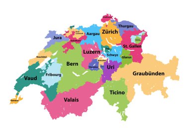
Vector map of Switzerland colored by cantons

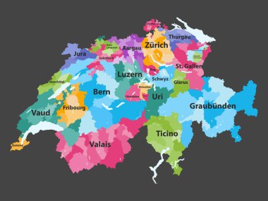
Switzerland vector map colored by cantons with districts boundaries

Switzerland map and flag - highly detailed vector illustration

Detailed map of Switzerland with administrative divisions into regions and Cantons, major cities of the country, vector illustration onwhite background

Switzerland map - highly detailed vector illustration

Map of Switzerland - highly detailed vector illustration

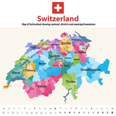
Switzerland vector map showing cantonal, districts and municipal boundaries. Map colored by cantons and inside each canton by distrcts. Flag of Switzerland. Navigation and location icons

Switzerland map and flag - highly detailed vector illustration

Switzerland map and flag - highly detailed vector illustration

High quality colorful labeled map of Switzerland with borders of the cantons

Switzerland map and flag - highly detailed vector illustration

Switzerland map and flag - highly detailed vector illustration

Map of Valais in Switzerland

Switzerland map and flag - highly detailed vector illustration

Switzerland map and flag - highly detailed vector illustration

Flag Canton of Valais brush strokes. Flag of Valais on transparent background for your web site design, app, UI. Switzerland. EPS10.

Switzerland map and flag - highly detailed vector illustration

Switzerland map and flag - highly detailed vector illustration

Switzerland map and flag - highly detailed vector illustration

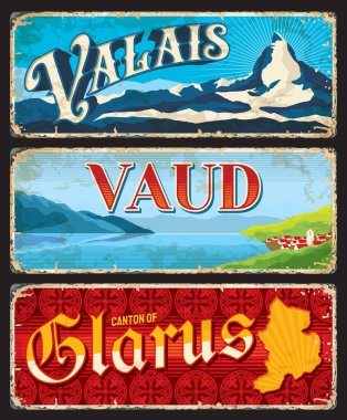
Valais, Vaud and Glarus Swiss cantons plates. Vector vintage banners with Switzerland travel touristic landmarks, settlement on lake, map and mountains. Aged retro signs, grunge boards or postcards

Barcode set the color of Wallis flag, The canton of Switzerland with text Made in Valais. concept of sale or business.

Overview map of the Swiss canton of Graubuenden

Switzerland vector map with flag, globe and icons on white background