Description:
This SVG vector graphic represents County Durham, an area in northeast England known for its rich history and scenic landscapes. The design features prominent landmarks and outlines that capture the unique geographical shape of the region. Offered in an SVG format, it allows for scalability without loss of quality, making it suitable for various applications. The vector is designed in a clean, flat style, ideal for both digital and print use. Its simplicity makes it versatile, fitting for projects in educational contexts, marketing materials, or personal crafts. The design is suitable for overlaying on various backgrounds or incorporating into more complex graphics.
Usage ideas:
Utilizing this County Durham SVG vector can enhance your projects in numerous ways. For example, it can be integrated into educational presentations about UK geography, used in travel brochures to highlight the area’s attractions, or included in merchandise like T-shirts and tote bags featuring local pride. Graphic designers may also employ this vector in website designs or social media posts to promote events in County Durham. Additionally, it's a valuable resource for creating custom signage or posters for local businesses that want to showcase their community roots.
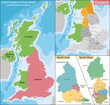
Map of the subdivisions of England with the North East and the North West

Brandon (Vermont) blank outline map

Wingate (North Carolina) blank outline map

Stanley (North Dakota) blank outline map

Belmont (Mississippi) blank outline map

Chilton (Wisconsin) blank outline map

Belmont (Wisconsin) blank outline map

Brandon (Washington) blank outline map

Stanley (Wisconsin) blank outline map

Chilton (Texas) blank outline map

Belmont (New Hampshire) blank outline map

Stanley (Virginia) blank outline map

Stanley (North Carolina) blank outline map

Sherburn (Minnesota) blank outline map

High detailed North Carolina road map with labeling.
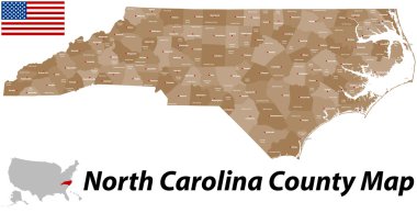
A large and detailed map of the State of North Carolina with all counties and main cities.
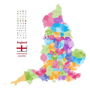
Vector map of England ceremonial counties. Flag of England. Navigation and location icons
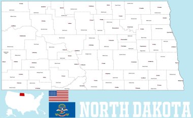
A large and detailed map of the State of North Carolina with all counties and main cities.
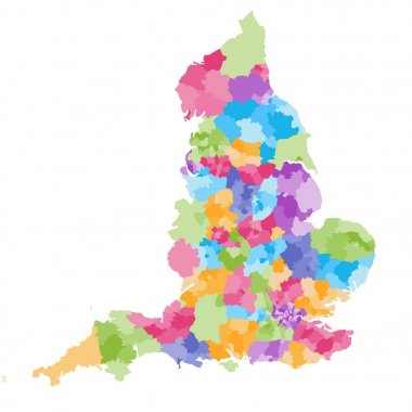
England ceremonial counties and their districts vector map. Each county distinctions between each other by different color palette
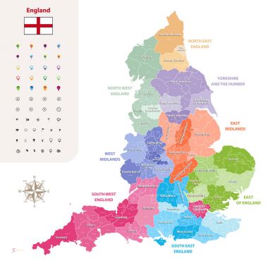
England ceremonial counties vector map colored by regions
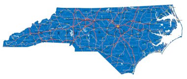
Detailed map of North Carolina state,in vector format,with county borders,roads and major cities.
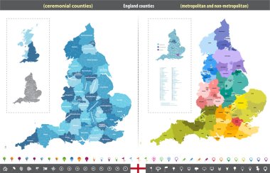
England counties vector map

North carolina map icon. North carolina icon vector

Vector flag of Durham city, North Carolina, USA.
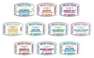
Passport stamps of US airports in vector format.

North carolina map icon. North carolina icon vector

United Kingdom administrative districts high detailed vector map colored by regions with editable and labelled layers

Durham County (North Carolina) blank outline map

North Carolina - Highly detailed editable political map with labeling.

North Carolina - Highly detailed editable political map with labeling.