Description:
This Djibouti regions SVG vector graphic provides a comprehensive outline of the geographic divisions within Djibouti. The image is designed in SVG format, ensuring scalability without loss of quality. It features an accurate depiction of the country's regions, each distinctly marked for clarity. The vector is crafted in a flat style, making it suitable for various applications, including educational materials and visual presentations. Designed with precision, this graphic serves as a reliable resource for anyone looking to enhance their understanding of Djibouti's geography. Its clean lines and simplicity facilitate easy integration into various projects.
Usage ideas:
The Djibouti regions SVG vector can be utilized in numerous educational contexts such as geography lessons, school projects, and presentations discussing the political landscape of Djibouti. Furthermore, businesses can leverage this graphic for marketing materials that require a geographic focus, such as travel brochures or cultural event promotions. Additionally, it can serve as a base for interactive maps in digital applications, used by developers creating educational software. Non-profit organizations may also adopt this vector for advocacy campaigns highlighting regional issues in Djibouti.
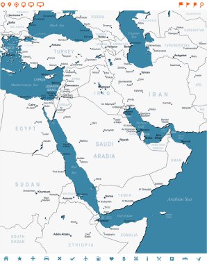
Middle East map - highly detailed vector illustration. Image contains land contours, country and land names, city names, water object names, navigation icons.
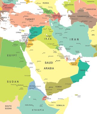
Middle East and Asia map - highly detailed vector illustration.

Highly detailed political map of Middle East. Vector illustration
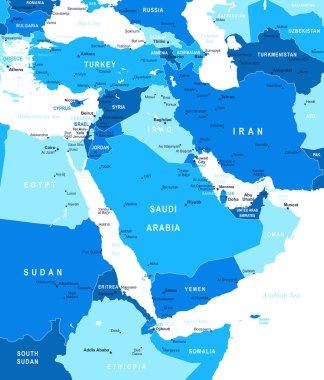
Middle East and Asia map - highly detailed vector illustration.

Middle East and Asia map - highly detailed vector illustration.

Vector illustration of Middle East map.
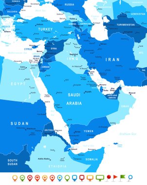
Middle East and Asia map - highly detailed vector illustration. Image contains land contours, country and land names, city names, water object names, navigation icons.
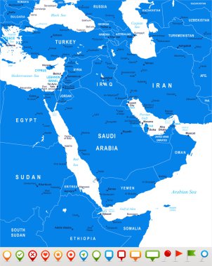
Middle East and Asia map - highly detailed vector illustration.

Middle East and Asia map - highly detailed vector illustration.
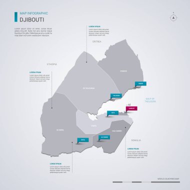
Djibouti vector map with infographic elements, pointer marks. Editable template with regions, cities and capital.

Vector illustration of Middle East and Asia map and navigation icons.
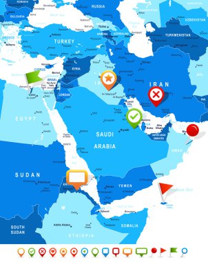
Middle East and Asia map - highly detailed vector illustration. Image contains land contours, country and land names, city names, water object names, navigation icons.

Ethiopia country detailed editable map with regions cities and towns, roads and railways, geographic sites. Vector EPS-10 file