Description:
This SVG vector illustrates the distinct regions of Samoa, featuring outlines and demarcations of each area. The design is provided in a scalable format that maintains clarity at any size, making it suitable for both print and digital applications. The style is straightforward and informative, which allows for easy interpretation of the geographical layout of Samoa. The image can be utilized in various formats including EPS and PNG, enabling diverse usability across platforms. This graphic serves as an essential resource for maps, presentations, and educational content focused on Samoan geography.
Usage ideas:
You can incorporate this Samoa Regions SVG Vector into educational materials like textbooks or online courses focusing on geography or Pacific culture. Its clear illustration can enhance travel brochures, helping tourists understand various attractions within each region. Additionally, digital marketers may use this vector in online ads or social media graphics aimed at promoting travel to Samoa. It can also be used in cultural exhibitions to provide context about Samoan heritage and geography, making it valuable for non-profits and community organizations.
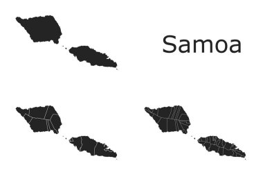
Samoa vector maps with administrative regions, municipalities, departments, borders

Samoa map, administrative division with names, blue white card paper 3D vector

Vector map of Australia, Oceania and South East Asian countries mixed with their national flags

Australia and Oceania detailed political map. All elements are separated in editable layers clearly labeled.

Australia and Oceania detailed political map vintage colors. All elements are separated in editable layers clearly labeled.

Australia and Oceania detailed political map and navigation icons. All elements are separated in editable layers clearly labeled.

Australia and Oceania map - highly detailed vector illustration.

Map of Oceania on a white background. Flat vector

Australia and Oceania detailed political map isolated on white. All elements are separated in editable layers clearly labeled.
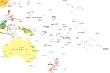
Australia and Oceania map - highly detailed vector illustration.

Australia and Oceania detailed political map in colors of blue and navigation icons. All elements are separated in editable layers clearly labeled.
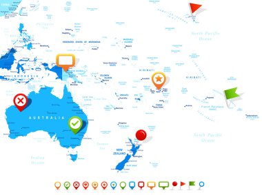
Australia and Oceania map - highly detailed vector illustration. Image contains land contours, country and land names, city names, water object names, navigation icons.
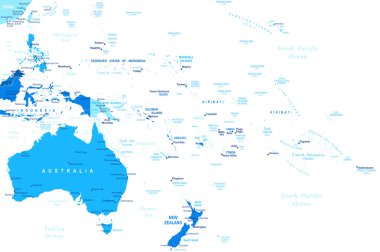
Australia and Oceania map - highly detailed vector illustration
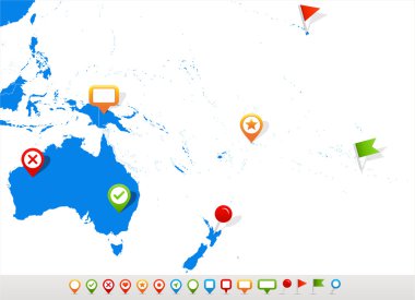
Vector illustration of Australia and Oceania map and navigation icons.

Australia and Oceania detailed old color map and navigation icon set. All elements are separated in editable layers clearly labeled.
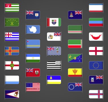
World flags collection, regions, provinces, islands, self proclaimed, non recognized in UN, part 1. Labeled in layers panel. Flags on the right hand side reflected around vertical axis.

US map silhouette. Map of America and regions. USA frame background

Australia and Oceania map - highly detailed vector illustration.

Australia and Oceania map - highly detailed vector illustration.

Australia and Oceania map - highly detailed vector illustration.

Australia and Oceania map - highly detailed vector illustration. Image contains land contours, country and land names, city names, water object names, navigation icons.
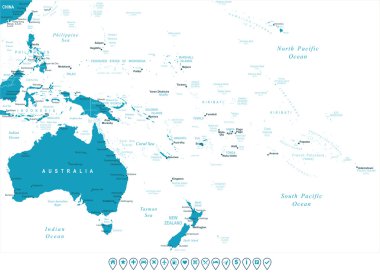
Australia and Oceania map - highly detailed vector illustration. Image contains land contours, country and land names, city names, water object names. - navigation icons

Australia and Oceania outline blank map and navigation icons. All elements are separated in editable layers clearly labeled.

Australia and Oceania map - highly detailed vector illustration. Image contains land contours, country and land names, city names, water object names, navigation icons.

Vector maps and flags of oceania countries with administrative divisions (regions borders)