Description:
This SVG vector illustration showcases the various regions of Turkmenistan, providing an accurate geographic outline suitable for diverse applications. The design is available in a scalable vector format, making it easy to resize without losing quality. The clean lines and clear delineation of boundaries make this clipart ideal for educational tools and presentations. The vector format ensures compatibility across various design software, including Adobe Illustrator and CorelDRAW. It can be used in both digital and print formats, allowing for flexibility in use. An effective resource for teachers and students alike, this illustration conveys regional information succinctly.
Usage ideas:
The Turkmenistan regions SVG is perfect for educational projects, such as creating interactive maps for geography lessons or designing informative posters for classrooms. It can also be utilized in travel brochures, helping to illustrate regional highlights and attract visitors. Designers can incorporate this vector into website layouts focused on tourism or cultural exploration. Additionally, businesses can use this image in presentations to showcase regional market analyses or economic reports. The versatility of this SVG allows for customization, suitable for various thematic designs.

Turkmenistan vector maps with administrative regions, municipalities, departments, borders
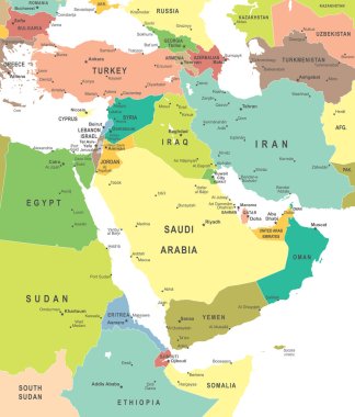
Middle East and Asia map - highly detailed vector illustration.

Color map of Central Asia divided by the countries
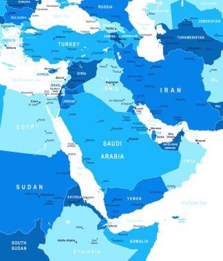
Middle East and Asia map - highly detailed vector illustration.

Turkmenistan highlighted on a detailed map, geographic location of Turkmenistan.

Middle East and Asia map - highly detailed vector illustration.
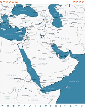
Middle East map - highly detailed vector illustration. Image contains land contours, country and land names, city names, water object names, navigation icons.

Asia Map - Detailed Info Graphic Vector Illustration

Asia Map - Detailed Vector Illustration

Asia Map - Detailed Vector Illustration

Asia Map - Vintage Detailed Vector Illustration

Asia Map - Detailed Info Graphic Vector Illustration

Asia Map - Detailed Vector Illustration
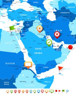
Middle East and Asia map - highly detailed vector illustration. Image contains land contours, country and land names, city names, water object names, navigation icons.
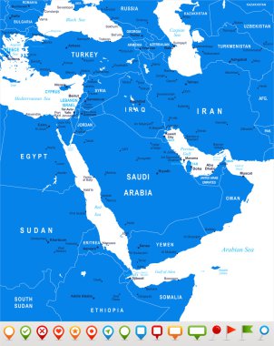
Middle East and Asia map - highly detailed vector illustration.
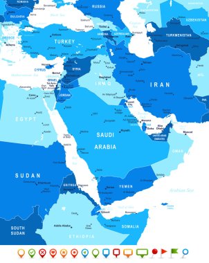
Middle East and Asia map - highly detailed vector illustration. Image contains land contours, country and land names, city names, water object names, navigation icons.

Vector illustration of Middle East and Asia map and navigation icons.

Middle East and Asia map - highly detailed vector illustration.

Highly detailed vector map of Uzbekistan with administrative regions, main cities and roads.

Middle East and Asia map - highly detailed vector illustration. Image contains land contours, country and land names, city names, water object names, navigation icons.

Turkmenistan vector map. Editable template with regions, cities, red pins and blue surface on white background.

Vector illustration of Middle East map.
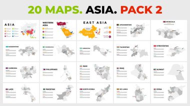
Vector map infographic templates pack

Vector map infographic templates pack

Political color map of Central Asia with borders of the states.