
Philadelphia County, Pennsylvania blank outline map set

Pennsylvania counties vector map with USA map colors national flag

Philadelphia (Mississippi) blank outline map

New Philadelphia (Pennsylvania) blank outline map

Stamp or label with name of Philadelphia, Pennsylvania, vector illustration

Stamp with name of Pennsylvania, Philadelphia, vector illustration

Grunge rubber stamp with name of Pennsylvania, Philadelphia

Highly detailed vector silhouettes of US state maps, Division United States into counties, political and geographic subdivisions of a states, Mid-Atlantic - Pennsylvania, New Jersey, New York - set 3 of 17

Satellite map of Philadelphia, Philly, Pennsylvania, city streets. Street map, city center. Usa
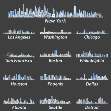
United States largest cities skylines in tints of blue color palette. Vector illustration

Travel poster, urban street plan city map Boston and Philadelphia, vector illustration

Philadelphia city plan, detailed vector map
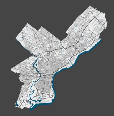
Philadelphia map. Detailed vector map of Philadelphia city administrative area. Poster with streets and water on grey background.

Philadelphia colored vector map

A large and detailed map of the State of Pennsylvania with all counties and county seats.

Urban vector city map of Philadelphia, Pennsylvania, United States of America

High detailed Pennsylvania physical map with labeling.
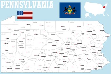
A large and detailed map of the State of Pennsylvania with all counties and county seats.
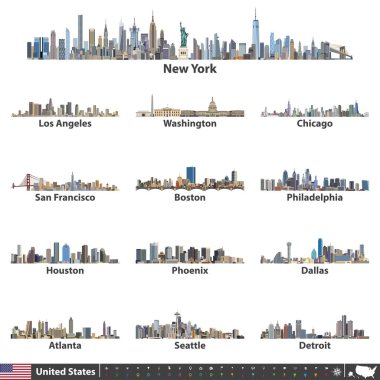
Vector illustration of largest United States city skylines. Navigation, location and travel icons; flag and map of United States of America
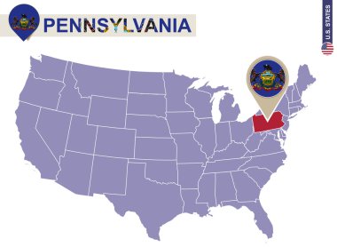
Pennsylvania State on USA Map. Pennsylvania flag and map. US States.

Pennsylvania administrative and political vector map

Pennsylvania, U.S. state, subdivided into 67 counties, multi colored political map with capital Harrisburg, and borders. State of the Mid-Atlantic and Northeastern USA, with nickname Keystone State.

Vector map of United States of America with largest cities' skylines

Vector outlines icons of United States cities skylines

Vector illustration of largest United States city skylines in black and white color palette. Navigation, location and travel icons; flag and map of United States of America
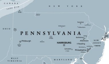
Pennsylvania, PA, gray political map. The Commonwealth of Pennsylvania, a state in the Northeastern United States of America with capital Harrisburg. Keystone State. Quaker State. Illustration. Vector

Vector posters with highly detailed silhouettes of maps of the states of America, Division Mid-Atlantic - Pennsylvania, New Jersey, New York - set 3 of 17
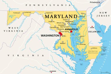
Maryland, MD, political map. State in the Mid-Atlantic region of the United States of America. Capital Annapolis. Old Line State. Free State. Little America. America in Miniature. Illustration. Vector

2 of 50 sets, US State Posters with name and Information in 3 Design Styles, Detailed vector art print Pennsylvania map
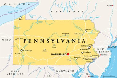
Pennsylvania, PA, political map. Officially the Commonwealth of Pennsylvania. State in the northeastern United States of America. Capital Harrisburg. Keystone State. Quaker State. Illustration. Vector

Yellow map of Pennsylvania with indication of largest cities

USA in heart and words cloud with larger cities

Pennsylvania USA state map vector tag cloud illustration

Grunge rubber stamp or label with name of Pennsylvania, Philadelphia, vector illustration

Abstract skyline Philadelphia, with various landmarks, vector illustration

Detailed vector a large color map of the USA

Grunge rubber stamp with name and map of Pennsylvania, USA

Philadelphia silhouette skyline. USA - Philadelphia vector city, american linear architecture, buildings. Philadelphia line travel illustration, landmarks. USA flat icon, american outline design
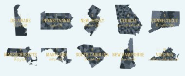
Set 1 of 5 Division United States into counties, political and geographic subdivisions of a states, Highly detailed vector maps with names and territory nicknames

2 of 50 states of the United States with a name, nickname, and date admitted to the Union, Detailed Vector Pennsylvania Map for printing posters, postcards and t-shirts

United States - Highly Detailed Vector Map of the USA. Ideally for the Print Posters

United States - Highly Detailed Vector Map of the USA. Ideally for the Print Posters

Map of North America. Detailed map of North America with States of the USA and Provinces of Canada. Template. Stock vector. EPS10.

United States - Highly Detailed Vector Map of the USA. Ideally for the Print Posters

Love philadelphia vector art red icon isolated

United States - Highly Detailed Vector Map of the USA. Ideally for the Print Posters

United states of America political map with drop shadow on white background

Black and white map of the USA and Canada

United States - Highly Detailed Vector Map of the USA. Ideally for the Print Posters

Vector a large color map of the USA

Abstract skyline Philadelphia, with various landmarks, vector illustration

The detailed map of the USA with regions or states and cities, capital. United States of America

Official current vector great seal of the Federal State of Pennsylvania, USA

Color map of the USA and Canada

Canada, United States and Mexico detailed map with states names and borders. Flags and largest cities skylines outline icons of United States, Canada and Mexico
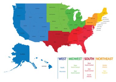
Map of US regions. Maps USA

United States - Highly Detailed Vector Map of the USA. Ideally for the Print Posters

United states. Standard time zones of united states. USA region
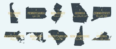
Set 1 of 5 Highly detailed vector silhouettes of USA state maps with names and territory nicknames

Grunge rubber stamp with name of Pennsylvania, Philadelphia

Pennsylvania, state of USA - solid black outline map of country area. Simple flat vector illustration.

Philadelphia downtown and surroundings Map in blue shaded version with many details. This map of Philadelphia contains typical landmarks with room for additional information and easy access to color changes.

Pennsylvania grey vector contour mosaic map

United States of America political map / Detailed vector a large color map of the USA

Dark grey and black Philadelphia city area vector background map, streets and water cartography illustration. Widescreen proportion, digital flat design streetmap.

Urban vector city map of Philadelphia, Pennsylvania, United States of America
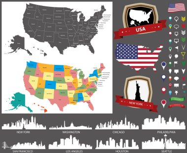
United States map with main cities silhouettes set

Vector map of Philadelphia. Street map poster illustration. Philadelphia map art.

United states. Standard time zones of united states. USA region

Philadelphia Pennsylvania USA Map in Black and White Color. Vector Illustration. Outline Map.

The United States of America monochrome contour map with city names

Philadelphia Pennsylvania USA Map in Retro Style. Vector Illustration. Outline Map.
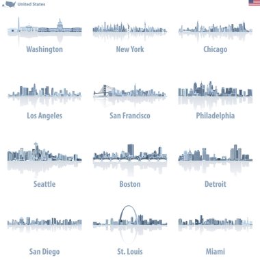
United States cities skylines in light blue color palette with water reflections.

Urban vector city map of Philadelphia, Pennsylvania, United States of America

Detailed vector a large map of the USA with cities

Philadelphia map poster. Decorative design street map of Philadelphia city. Cityscape aria panorama silhouette aerial view, typography style. Land, river, highways, avenue. Round circular vector illustration.

Vector map of United States with indication of Pennsylvania

United States of America highly detailed physical map,in vector format,with all the relief forms,states and big cities.

Vector hand drawn stylized map of The United States of America. Travel illustration of USA cities. Hand drawn lettering illustration. North America map element
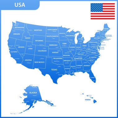
The detailed map of the USA with regions or states and cities, capital. United States of America with national flag

Silhouette Color map of United States

Pennsylvania state detailed editable map with cities and towns, geographic sites, roads, railways, interstates and U.S. highways. Vector EPS-10 file, trending color scheme

Detailed map of the United States of America. Big sities. Icons, location indicators
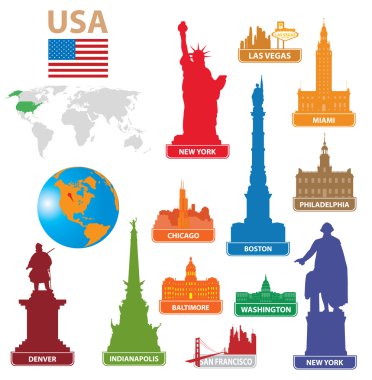
Symbols city USA. Vector illustration for you design

The detailed map of the USA with regions or states and cities, capital. United States of America

Vector map of United States of America with largest cities' skylines outlines

Vector map of United States of America with largest cities' skylines

Vector map of the agglomeration Washington, New York City Philadelphia, Boston, Baltimore, USA
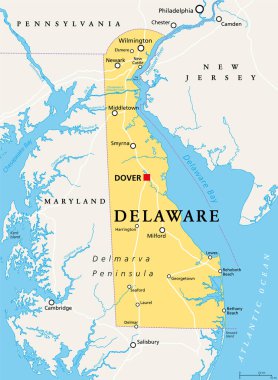
Delaware, DE, political map. State in the Mid-Atlantic region of the United States of America. Capital Dover. The First State, The Small Wonder, Blue Hen State, The Diamond State. Illustration. Vector.

Covid-19 Infographic Medical Template Presentation

USA Love. Set american icons and symbols in form of heart

Grunge rubber post stamps set with name of Pennsylvania, Philadelphia
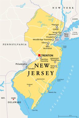
New Jersey, NJ, political map with capital Trenton. State in the Mid-Atlantic region of northeastern United States of America. The Garden State. Most densely populated US state. Illustration. Vector.

Blue abstract outline of Pennsylvania map

Isolated set with american vector icons and symbols in form of heart

Abstract outline of Pennsylvania map

Illustration of Commonwealth of Pennsylvania, USA
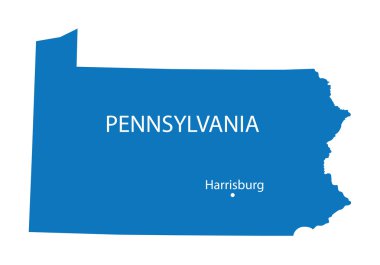
Blue map of Pennsylvania with indication of Harrisburg
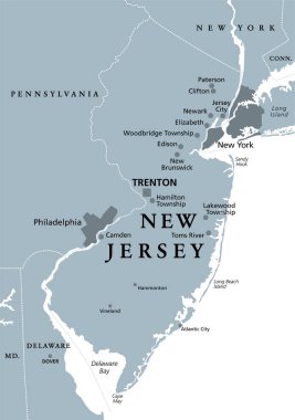
New Jersey, NJ, gray political map with capital Trenton. State in the Mid-Atlantic region of the Northeastern United States of America. The Garden State. Illustration on white background. Vector.

Grey map of Pennsylvania