
Map State of Mecklenburg-Vorpommern on transparent background. Lower Mecklenburg-Vorpommern map with districts in gray for your design, logo, app, UI. Land of Germany. EPS10.

Mecklenburg-Vorpommern state blank outline map set

Mecklenburg-Vorpommern state (Germany) outline map set

Bremen, Hamburg, Hessen, Mecklenburg-Vorpommern outline maps

Germany, a country in Central Europe with capital Berlin, blue political map. The Federal Republic of Germany subdivided into 16 constituent states, with their capitals and largest cities. Vector
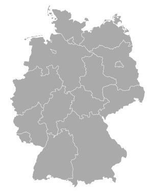
Map of Germany

Map of Germany

Map Germany

Gray Germany map with regions isolated on white background
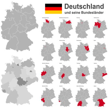
European country germany and the federal states

Black and white map of Germany

Map of germany with all cities over one hundred thousand inhabitants in german language

Administrative and political map of Germany newly revised 2019 in black and white

Germany and its federal states, Berlin and its boroughs

Map of Germany with all Federal States
West european country germany and the federal states
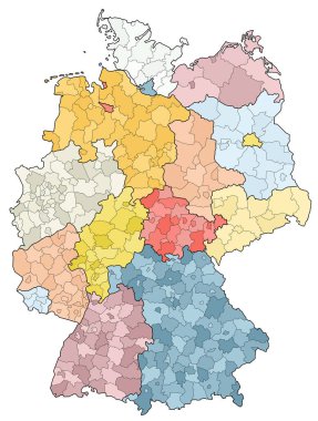
West european country germany and the federal states

Map of Mecklenburg-Western Pomerania with main cities in green
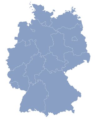
Vector map of Germany each division can be edited

Germany map line, linear thin vector. Germany simple map and flag.

3d vector map of Germany each division can be edited

Germany map and flag of Germany. City names - land contours. Vector illustration.

West european country germany and the federal states
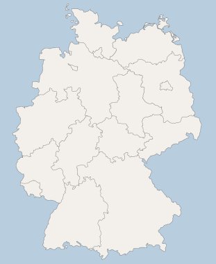
Vector map of Germany each division can be edited

Map of Germany

Map of Germany

Map of germany. High detailed vector map - germany.
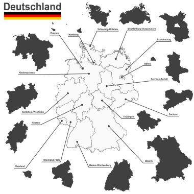
European country germany and the federal states

Germany map with flag

Map of Mecklenburg-Western Pomerania with abstract background in blue
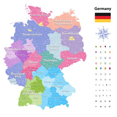
Germany vector map (colored by states and administrative districts) with subdivisions.

Location of Mecklenburg-Vorpommern on map Federal Republic of Germany. 3d Mecklenburg-Vorpommern location sign similar to the flag of Mecklenburg-Vorpommern. Quality map of Germany with regions. EPS10

Vector map of German states with cites (DE) on white background. A small scale contour map of Germany projected in WGS 84 World Mercator made with Natural Earth free data (public domain). All elements are separated in editable layers clearly labeled.
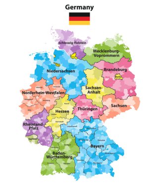
Germany states and districts colored vector map

Germany clear map

Vector map of German states on white background. A small scale contour map of Germany projected in WGS 84 World Mercator made with Natural Earth free data (public domain). All elements are separated in editable layers clearly labeled.

Map of Mecklenburg-Vorpommern

Map of Germany

Vector map of German states with cites on white background. A small scale contour map of Germany projected in WGS 84 World Mercator made with Natural Earth free data (public domain). All elements are separated in editable layers clearly labeled.
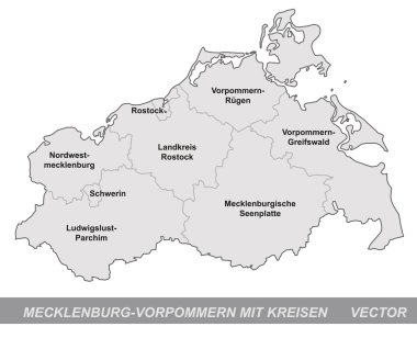
Map of Mecklenburg-Western Pomerania with borders in gray

Vector map of German states with cites (EN) on white background. A small scale contour map of Germany projected in WGS 84 World Mercator made with Natural Earth free data (public domain). All elements are separated in editable layers clearly labeled.

Map of Germany

Map and flag of Germany
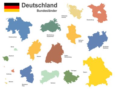
West european country germany and the federal states

Dot map of Mecklenburg-Vorpommern State composition and solid illustration.

Vector map of the Baltic Sea island of Usedom, Germany, Poland
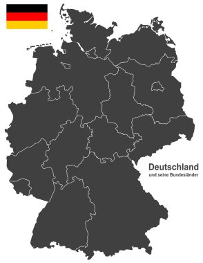
European country germany and the federal states
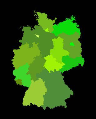
Blank Germany map vector silhouette illustration isolated on black background. Deutschland autonomous communities. High detailed Germany map regions administrative divisions, separated provinces map.

Germany map vector silhouette illustration isolated. Deutschland autonomous communities. Europe state, EU, Germany regions administrative divisions, provinces map. German editable map shape shadow.

Germany map vector silhouette illustration isolated. Deutschland autonomous communities. Colorful Germany regions administrative divisions, provinces map. Line contour German editable map shape shadow