Saarland blank outline map set - vector version

Saarland state map. Vector illustration.

Vector mosaic map of Saarland State designed for New Year, Christmas, and winter. Mosaic map of Saarland State is designed of snowflakes and fir-trees.

Map of Saarland, Germany with Dot Pattern

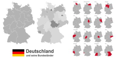
Gray Germany map with regions isolated on white background

Map of germany with all cities over one hundred thousand inhabitants in german language

Map of the state of Saarland in German language

Administrative and political map of Germany newly revised 2019 in black and white

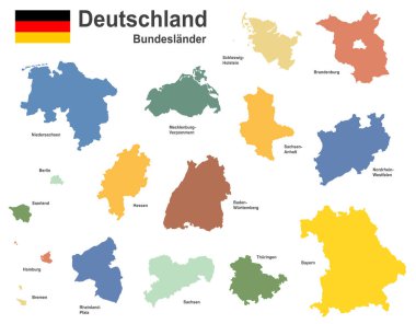
Map of Germany with all Federal States

West european country germany and the federal states

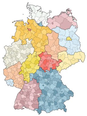
Administrative and political vector map of Germany, newly revised 2019

West european country germany and the federal states

The Saarland isolated map divided in districts, Germany

The detailed map of the Germany with regions

West european country germany and the federal states

Map of germany. High detailed vector map - germany.

Saarland state map, Germany, vector map silhouette illustration isolated on Germany map. Editable blank vector map. Province in Germany.

Service Saarland Land map collage and seals. Vector collage is formed with wheel icons in variable sizes, and German flag official colors - red, yellow, black.

Vector administrative map of Federal Republic of Germany with the flags of the federal states

West european country germany and the federal states

Blank Germany map vector silhouette illustration isolated on black background. Deutschland autonomous communities. High detailed Germany map regions administrative divisions, separated provinces map.

Niedersachsen, Nordrhein-Westfalen, Rheinland-Pfalz, Saarland outline maps

Germany map vector silhouette illustration isolated. Deutschland autonomous communities. Europe state, EU, Germany regions administrative divisions, provinces map. German editable map shape shadow.

Germany map vector silhouette illustration isolated. Deutschland autonomous communities. Colorful Germany regions administrative divisions, provinces map. Line contour German editable map shape shadow

Saarland state (Germany) outline map set

Germany, a country in Central Europe with capital Berlin, blue political map. The Federal Republic of Germany subdivided into 16 constituent states, with their capitals and largest cities. Vector