Thuringen blank outline map

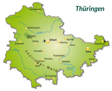
Map of thuringia as an overview map in green

Map of thuringia with borders in gray

This vector map of the German Free State of Thuringia includes 5 editable layers for each of the 4 administrative levels (municipalities, municipalities associations, districts, and state) and the background

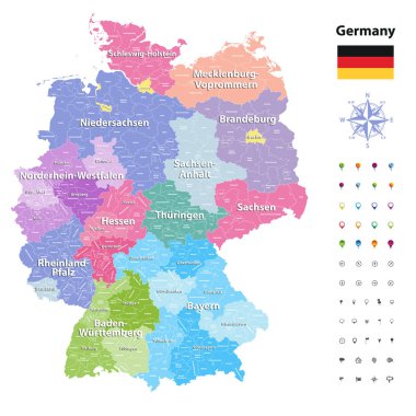
Germany vector map (colored by states and administrative districts) with subdivisions.

Thuringen state map, Germany, vector map silhouette illustration isolated on Germany map. Editable blank vector map. Province in Germany Thuringia.

Thuringen state (Germany) outline map set

Sachsen, Sachsen-Anhalt, Schleswig-Holstein, Thuringen outline maps