
Veneto (Autonomous region of Italy) map vector illustration, scribble sketch Veneto map
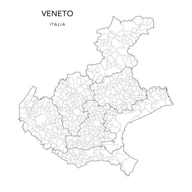
Vector Map of the Geopolitical Subdivisions of the Region of the Veneto or Venetia with Provinces and Municipalities (Comuni) as of 2022 - Italy
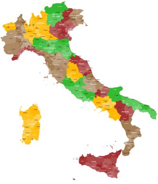
A detailed, colorful map of Italy with all provinces and big cities.

Illustration of italy province and region maps

Veneto blank detailed outline map set

Trentino-Alto Adige, Tuscany, Umbria, Veneto outline maps

Veneto region blank outline map set
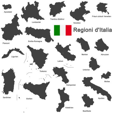
Silhouettes of european country Italia and the regions

Veneto administrative and political map with flag

Silhouettes of european country Italy and the regions

Silhouettes of european country Italia and the regions

Illustration set of italy province and region maps

Vector illustrated map of Italy with regions and administrative divisions, and neighbouring countries and territories. Editable and clearly labeled layers.

Vector blank map of Italy with regions and administrative divisions. Editable and clearly labeled layers.
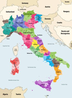
Italy provinces colored by regions vector map with neighbouring countries and territories

Map of Italy

Silhouette and colored map of Italy regions

Silhouettes of european country Italy and the regions
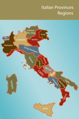
Map of Italy with provinces and regions name in italian

Illustration set of italy province and region maps
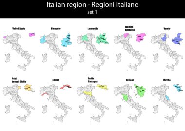
Illustration set of italy province and region maps
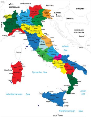
Highly detailed map of Italy with all different regions selectable individual.

Silhouettes of european country Italy and the regions

Italy map of regions and provinces names in sketch lettering. Vector Italian flag of Sicily peninsula, Sardinia island or Venice Piemonte, Lombardia or Genoa and Alto Adige, Trentino and Toscana

High quality colorful labeled map of Italy with borders of the regions

Italy Map - Detailed Vector Illustration

Map of Italy

Map of Italy

Vector map of Italy with regions and administrative divisions. Editable and clearly labeled layers.

Vector blank map of Italy with regions and administrative divisions. Editable and clearly labeled layers.

Blank map of Italy divided into 20 administrative regions.
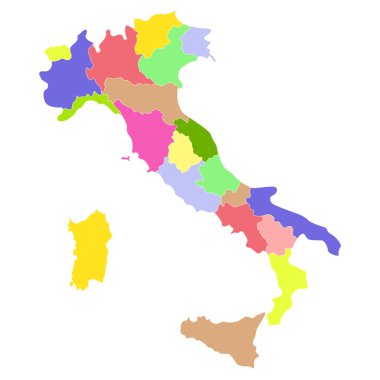
Italy map isolated on a white background. Vector illustration.

Regions of Italy. Map of regional country administrative divisions. Colorful vector illustration.

Colorful map of Italy vector silhouette illustration isolated on white background. Autonomous communities of Italy. Detailed Italian regions administrative divisions, separated provinces. outline map.

Highly detailed physical map of Italy,in vector format,with all the relief forms,regions and big cities.

Vintage italy map with regions inscription sardinia, sicily, lazio, tuscany, liguria, marche, abruzzo, calabria, puglia, veneto trentino lombardy marche drawing on dirty paper

Vintage italy map with regions inscription sardinia, sicily, lazio, tuscany, liguria, marche, abruzzo, calabria, puglia, veneto, trentino lombardy marche drawing with chalk on blue background

Satellite map of Verona, Veneto, Italy, city streets. Street map, city center.

Vintage italy map with regions inscription sardinia, sicily, lazio, tuscany, liguria, marche, abruzzo, calabria, puglia, veneto trentino lombardy marche drawing on craft background

Abstract Veneto region map isolated on a white background. Triangular mesh model in black color of Veneto region map. Polygonal geographic scheme designed for political illustrations.

Vintage italy map with regions inscription sardinia, sicily, lazio, tuscany, liguria, marche, abruzzo, calabria, puglia, veneto, trentino lombardy marche drawing with chalk on chalkboard background

Illustration of italy province and region maps om chalkboard

Map of Italy

A large administrative map of Italy with all provinces and communes.

Map of Italy

Italy Map - Vintage Detailed Vector Illustration

Map of Italia. hand drawn illustration. 20 regions.

Illustration of italy province and region maps

Illustration of italy province and region maps om chalkboard

Map of Italy

Silhouettes of european country Italia and the regions

Silhouettes of european country Italy and the regions

Map of Italy
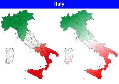
Illustration of italy province and region maps

Italy Map - Detailed Vector Illustration

Vector illustration of the famous sausages from different regions of Italy

Map of Italy

Vintage italy map with regions inscription sardinia, sicily, lazio, tuscany, liguria, marche, abruzzo, calabria, puglia, veneto trentino lombardy marche drawing on yellow paper

Silhouettes of european country Italy and the regions

Map of Italy

Map of Italy

Map Of Italy From Triangles - Vector Illustration - Infographic Element
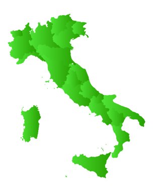
Map of Italy

Map of Italy
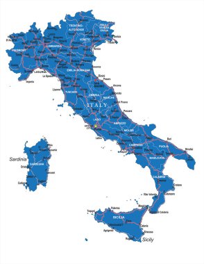
Highly detailed political road map of Italy .
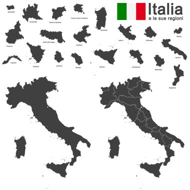
Silhouettes of european country Italia and the regions

Silhouettes of european country Italy and the regions
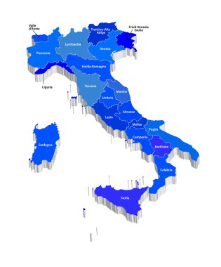
Vector map of Italy
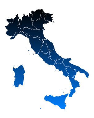
Map of Italy

Vector map of Italy province gray color
Map of Italy

Map of Italy

Yellow mesh vector Veneto region map with glitter effect on a dark blue gradiented background. Abstract lines, light spots and dots form Veneto region map constellation.

Map of Italy

Vector illustration of the famous sausages from different regions of Italy

Vector illustration of the famous sausages from different regions of Italy

Venice blank detailed outline map set - jpeg version

Map of Italy

Map of Italy

Illustration of italy province and region maps

Vector illustration of the famous sausages from different regions of Italy

Map and flag of Italy

Accurate map of Veneto

Vicenza blank detailed outline map set - vector version

Vector illustration of the famous sausages from different regions of Italy
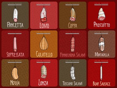
Vector illustration of the famous sausages from different regions of Italy
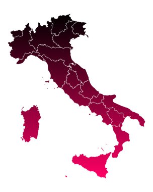
Map of Italy

Vector illustration of the famous sausages from different regions of Italy

Veneto official regional flag and map, Italy, vector illustration

Belluno blank detailed outline map set - vector version
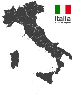
Silhouettes of european country Italy and the regions

Vector illustration of the famous sausages from different regions of Italy

Vector illustration of the famous sausages from different regions of Italy

Vector collage Veneto region map and red rounded corroded stamp watermark with clinic symbol. Veneto region map collage constructed with oval elements. Red rounded medical seal stamp,

Vector illustration of the famous sausages from different regions of Italy

Vector illustration of the famous sausages from different regions of Italy

Italy country infographic map in 3d with country shape flying in the sky with clouds, big flag and the colosseum. Digital vector image

Vector illustration of the famous sausages from different regions of Italy

Vector illustration of the famous sausages from different regions of Italy

Dot map of Veneto region composition and solid illustration. Vector map of Veneto region composition of circle elements with hexagonal geometric pattern on a white background.